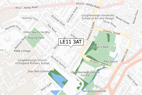
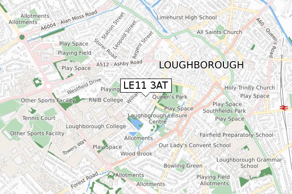
LE11 3AT is located in the Loughborough Southfields electoral ward, within the local authority district of Charnwood and the English Parliamentary constituency of Loughborough. The Sub Integrated Care Board (ICB) Location is NHS Leicester, Leicestershire and Rutland ICB - 04V and the police force is Leicestershire. This postcode has been in use since April 2019.


GetTheData
Source: OS Open Zoomstack (Ordnance Survey)
Licence: Open Government Licence (requires attribution)
Attribution: Contains OS data © Crown copyright and database right 2025
Source: Open Postcode Geo
Licence: Open Government Licence (requires attribution)
Attribution: Contains OS data © Crown copyright and database right 2025; Contains Royal Mail data © Royal Mail copyright and database right 2025; Source: Office for National Statistics licensed under the Open Government Licence v.3.0
| Easting | 453178 |
| Northing | 319407 |
| Latitude | 52.769667 |
| Longitude | -1.213242 |
GetTheData
Source: Open Postcode Geo
Licence: Open Government Licence
| Country | England |
| Postcode District | LE11 |
➜ See where LE11 is on a map ➜ Where is Loughborough? | |
GetTheData
Source: Land Registry Price Paid Data
Licence: Open Government Licence
| Ward | Loughborough Southfields |
| Constituency | Loughborough |
GetTheData
Source: ONS Postcode Database
Licence: Open Government Licence
| Burleigh Road (Radmoor Road) | Loughborough | 316m |
| Radmoor Road (Ashby Road) | Loughborough | 317m |
| Wards End (Browns Lane) | Loughborough | 319m |
| Ashby Square | Loughborough | 346m |
| New Street (Wards End) | Loughborough | 362m |
| Loughborough Central (Great Central Railway) | Loughborough | 1,182m |
| Loughborough (Leics) Station | 1.6km |
| Barrow upon Soar Station | 5.1km |
GetTheData
Source: NaPTAN
Licence: Open Government Licence
| Percentage of properties with Next Generation Access | 100.0% |
| Percentage of properties with Superfast Broadband | 100.0% |
| Percentage of properties with Ultrafast Broadband | 0.0% |
| Percentage of properties with Full Fibre Broadband | 0.0% |
Superfast Broadband is between 30Mbps and 300Mbps
Ultrafast Broadband is > 300Mbps
| Percentage of properties unable to receive 2Mbps | 0.0% |
| Percentage of properties unable to receive 5Mbps | 0.0% |
| Percentage of properties unable to receive 10Mbps | 0.0% |
| Percentage of properties unable to receive 30Mbps | 0.0% |
GetTheData
Source: Ofcom
Licence: Ofcom Terms of Use (requires attribution)
GetTheData
Source: ONS Postcode Database
Licence: Open Government Licence


➜ Get more ratings from the Food Standards Agency
GetTheData
Source: Food Standards Agency
Licence: FSA terms & conditions
| Last Collection | |||
|---|---|---|---|
| Location | Mon-Fri | Sat | Distance |
| Heathcote Street | 17:30 | 12:00 | 195m |
| Bedford Square | 17:30 | 12:00 | 376m |
| Cattlemarket | 18:30 | 12:00 | 437m |
GetTheData
Source: Dracos
Licence: Creative Commons Attribution-ShareAlike
The below table lists the International Territorial Level (ITL) codes (formerly Nomenclature of Territorial Units for Statistics (NUTS) codes) and Local Administrative Units (LAU) codes for LE11 3AT:
| ITL 1 Code | Name |
|---|---|
| TLF | East Midlands (England) |
| ITL 2 Code | Name |
| TLF2 | Leicestershire, Rutland and Northamptonshire |
| ITL 3 Code | Name |
| TLF22 | Leicestershire CC and Rutland |
| LAU 1 Code | Name |
| E07000130 | Charnwood |
GetTheData
Source: ONS Postcode Directory
Licence: Open Government Licence
The below table lists the Census Output Area (OA), Lower Layer Super Output Area (LSOA), and Middle Layer Super Output Area (MSOA) for LE11 3AT:
| Code | Name | |
|---|---|---|
| OA | E00130488 | |
| LSOA | E01025721 | Charnwood 003B |
| MSOA | E02005347 | Charnwood 003 |
GetTheData
Source: ONS Postcode Directory
Licence: Open Government Licence
| LE11 3BZ | William Street | 65m |
| LE11 3AY | Arthur Street | 90m |
| LE11 3BY | William Street | 114m |
| LE11 3BQ | Curzon Street | 121m |
| LE11 3BJ | Frederick Street | 133m |
| LE11 3BH | Frederick Street | 136m |
| LE11 3AZ | Burfield Avenue | 150m |
| LE11 3BU | Seward Street | 158m |
| LE11 3BW | Heathcoat Street | 184m |
| LE11 3DA | York Road | 191m |
GetTheData
Source: Open Postcode Geo; Land Registry Price Paid Data
Licence: Open Government Licence