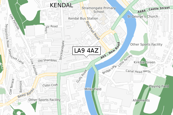
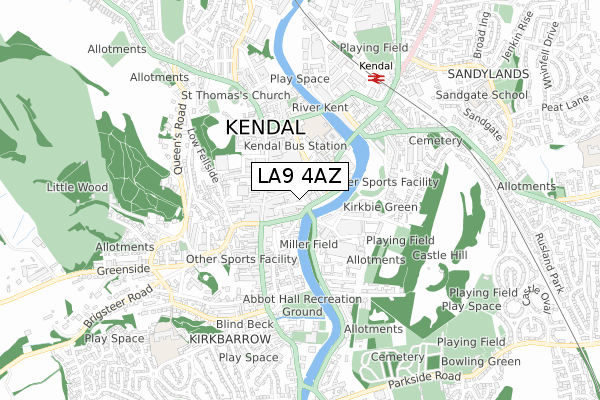
LA9 4AZ is located in the Kendal Strickland and Fell electoral ward, within the unitary authority of Westmorland and Furness and the English Parliamentary constituency of Westmorland and Lonsdale. The Sub Integrated Care Board (ICB) Location is NHS Lancashire and South Cumbria ICB - 01K and the police force is Cumbria. This postcode has been in use since February 2019.


GetTheData
Source: OS Open Zoomstack (Ordnance Survey)
Licence: Open Government Licence (requires attribution)
Attribution: Contains OS data © Crown copyright and database right 2025
Source: Open Postcode Geo
Licence: Open Government Licence (requires attribution)
Attribution: Contains OS data © Crown copyright and database right 2025; Contains Royal Mail data © Royal Mail copyright and database right 2025; Source: Office for National Statistics licensed under the Open Government Licence v.3.0
| Easting | 351642 |
| Northing | 492717 |
| Latitude | 54.327729 |
| Longitude | -2.745075 |
GetTheData
Source: Open Postcode Geo
Licence: Open Government Licence
| Country | England |
| Postcode District | LA9 |
➜ See where LA9 is on a map ➜ Where is Kendal? | |
GetTheData
Source: Land Registry Price Paid Data
Licence: Open Government Licence
| Ward | Kendal Strickland And Fell |
| Constituency | Westmorland And Lonsdale |
GetTheData
Source: ONS Postcode Database
Licence: Open Government Licence
| Town Hall (Highgate) | Kendal | 169m |
| Westmorland Shopping Centre (Stricklandgate) | Kendal | 178m |
| Wetherspoons (Allhallows Lane) | Kendal | 224m |
| The Shakespeare Inn (Highgate) | Kendal | 253m |
| Weavers Court (Anyam Road) | Kendal | 304m |
| Kendal Station | 0.6km |
| Oxenholme Lake District Station | 3km |
| Burneside (Cumbria) Station | 3.3km |
GetTheData
Source: NaPTAN
Licence: Open Government Licence
| Percentage of properties with Next Generation Access | 100.0% |
| Percentage of properties with Superfast Broadband | 100.0% |
| Percentage of properties with Ultrafast Broadband | 0.0% |
| Percentage of properties with Full Fibre Broadband | 0.0% |
Superfast Broadband is between 30Mbps and 300Mbps
Ultrafast Broadband is > 300Mbps
| Percentage of properties unable to receive 2Mbps | 0.0% |
| Percentage of properties unable to receive 5Mbps | 0.0% |
| Percentage of properties unable to receive 10Mbps | 0.0% |
| Percentage of properties unable to receive 30Mbps | 0.0% |
GetTheData
Source: Ofcom
Licence: Ofcom Terms of Use (requires attribution)
GetTheData
Source: ONS Postcode Database
Licence: Open Government Licence


➜ Get more ratings from the Food Standards Agency
GetTheData
Source: Food Standards Agency
Licence: FSA terms & conditions
| Last Collection | |||
|---|---|---|---|
| Location | Mon-Fri | Sat | Distance |
| 28a Finkle Street | 17:30 | 12:45 | 74m |
| 46 Stramongate | 17:30 | 12:00 | 143m |
| 59 Highgate | 17:30 | 12:45 | 242m |
GetTheData
Source: Dracos
Licence: Creative Commons Attribution-ShareAlike
The below table lists the International Territorial Level (ITL) codes (formerly Nomenclature of Territorial Units for Statistics (NUTS) codes) and Local Administrative Units (LAU) codes for LA9 4AZ:
| ITL 1 Code | Name |
|---|---|
| TLD | North West (England) |
| ITL 2 Code | Name |
| TLD1 | Cumbria |
| ITL 3 Code | Name |
| TLD12 | East Cumbria |
| LAU 1 Code | Name |
| E07000031 | South Lakeland |
GetTheData
Source: ONS Postcode Directory
Licence: Open Government Licence
The below table lists the Census Output Area (OA), Lower Layer Super Output Area (LSOA), and Middle Layer Super Output Area (MSOA) for LA9 4AZ:
| Code | Name | |
|---|---|---|
| OA | E00168545 | |
| LSOA | E01019360 | South Lakeland 004A |
| MSOA | E02004018 | South Lakeland 004 |
GetTheData
Source: ONS Postcode Directory
Licence: Open Government Licence
| LA9 4AY | New Road | 46m |
| LA9 4TX | Branthwaite Brow | 63m |
| LA9 4AB | Finkle Street | 75m |
| LA9 4BN | Stramongate | 78m |
| LA9 4BH | Stramongate | 85m |
| LA9 4TS | New Shambles | 90m |
| LA9 4TP | Market Place | 99m |
| LA9 4BU | Highgate | 105m |
| LA9 4BW | Blackhall Road | 105m |
| LA9 4XA | Greencoats Yard | 108m |
GetTheData
Source: Open Postcode Geo; Land Registry Price Paid Data
Licence: Open Government Licence