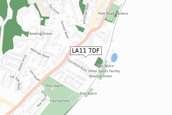
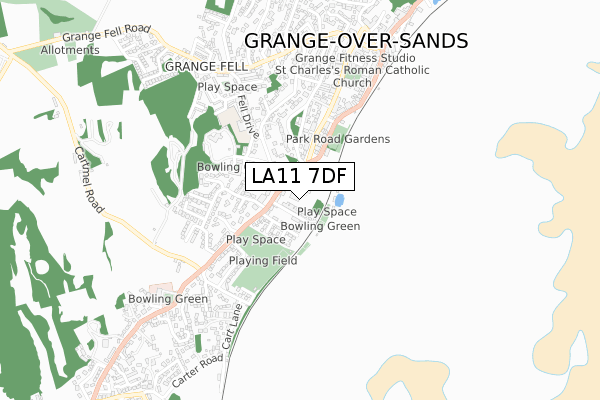
LA11 7DF maps, stats, and open data
LA11 7DF is located in the Grange and Cartmel electoral ward, within the unitary authority of Westmorland and Furness and the English Parliamentary constituency of Westmorland and Lonsdale. The Sub Integrated Care Board (ICB) Location is NHS Lancashire and South Cumbria ICB - 01K and the police force is Cumbria. This postcode has been in use since February 2020.
LA11 7DF maps


Licence: Open Government Licence (requires attribution)
Attribution: Contains OS data © Crown copyright and database right 2025
Source: Open Postcode Geo
Licence: Open Government Licence (requires attribution)
Attribution: Contains OS data © Crown copyright and database right 2025; Contains Royal Mail data © Royal Mail copyright and database right 2025; Source: Office for National Statistics licensed under the Open Government Licence v.3.0
LA11 7DF geodata
| Easting | 338496 |
| Northing | 476819 |
| Latitude | 54.183452 |
| Longitude | -2.943914 |
Where is LA11 7DF?
| Country | England |
| Postcode District | LA11 |
Politics
| Ward | Grange And Cartmel |
|---|---|
| Constituency | Westmorland And Lonsdale |
House Prices
Sales of detached houses in LA11 7DF
2024 13 NOV £422,380 |
2, WINFIELD GARDENS, ALLITHWAITE, GRANGE-OVER-SANDS, LA11 7DF 2021 27 AUG £415,000 |
1, WINFIELD GARDENS, ALLITHWAITE, GRANGE-OVER-SANDS, LA11 7DF 2021 20 AUG £415,000 |
7, WINFIELD GARDENS, ALLITHWAITE, GRANGE-OVER-SANDS, LA11 7DF 2021 30 JUN £335,000 |
8, WINFIELD GARDENS, ALLITHWAITE, GRANGE-OVER-SANDS, LA11 7DF 2021 30 JUN £335,000 |
9, WINFIELD GARDENS, ALLITHWAITE, GRANGE-OVER-SANDS, LA11 7DF 2021 25 JUN £335,000 |
2021 28 MAY £365,000 |
10, WINFIELD GARDENS, ALLITHWAITE, GRANGE-OVER-SANDS, LA11 7DF 2021 30 APR £295,000 |
11, WINFIELD GARDENS, ALLITHWAITE, GRANGE-OVER-SANDS, LA11 7DF 2021 19 MAR £315,000 |
12, WINFIELD GARDENS, ALLITHWAITE, GRANGE-OVER-SANDS, LA11 7DF 2021 12 MAR £315,000 |
Licence: Contains HM Land Registry data © Crown copyright and database right 2025. This data is licensed under the Open Government Licence v3.0.
Transport
Nearest bus stops to LA11 7DF
| Lane Ends (Cartmel Road) | Allithwaite | 140m |
| Hazelgarth (Church Road) | Allithwaite | 315m |
| Kirkhead View (Church Road) | Allithwaite | 323m |
| Yakkers (Holme Road) | Allithwaite | 466m |
| Yakkers (Maychells Orchard) | Allithwaite | 475m |
Nearest railway stations to LA11 7DF
| Kents Bank Station | 1.7km |
| Cark Station | 2.1km |
| Grange-over-Sands Station | 3km |
Deprivation
12.8% of English postcodes are less deprived than LA11 7DF:Food Standards Agency
Three nearest food hygiene ratings to LA11 7DF (metres)


➜ Get more ratings from the Food Standards Agency
Nearest post box to LA11 7DF
| Last Collection | |||
|---|---|---|---|
| Location | Mon-Fri | Sat | Distance |
| Headless Close | 16:15 | 10:00 | 1,566m |
| Barngarth, Cartmel | 16:15 | 10:00 | 1,934m |
| The Square, Cartmel | 16:15 | 10:15 | 2,080m |
LA11 7DF ITL and LA11 7DF LAU
The below table lists the International Territorial Level (ITL) codes (formerly Nomenclature of Territorial Units for Statistics (NUTS) codes) and Local Administrative Units (LAU) codes for LA11 7DF:
| ITL 1 Code | Name |
|---|---|
| TLD | North West (England) |
| ITL 2 Code | Name |
| TLD1 | Cumbria |
| ITL 3 Code | Name |
| TLD12 | East Cumbria |
| LAU 1 Code | Name |
| E07000031 | South Lakeland |
LA11 7DF census areas
The below table lists the Census Output Area (OA), Lower Layer Super Output Area (LSOA), and Middle Layer Super Output Area (MSOA) for LA11 7DF:
| Code | Name | |
|---|---|---|
| OA | E00097790 | |
| LSOA | E01019349 | South Lakeland 013A |
| MSOA | E02004027 | South Lakeland 013 |
Nearest postcodes to LA11 7DF
| LA11 7QP | Green Lane | 72m |
| LA11 7RD | Church Road | 110m |
| LA11 7QN | Vicarage Lane | 120m |
| LA11 7QW | Templand Garth | 135m |
| LA11 7RB | West View | 141m |
| LA11 7RE | Church Road | 148m |
| LA11 7QS | Templand Park | 164m |
| LA11 7QZ | Cartmel Road | 164m |
| LA11 7RR | Uplin Crescent | 180m |
| LA11 7RF | Church Road | 189m |