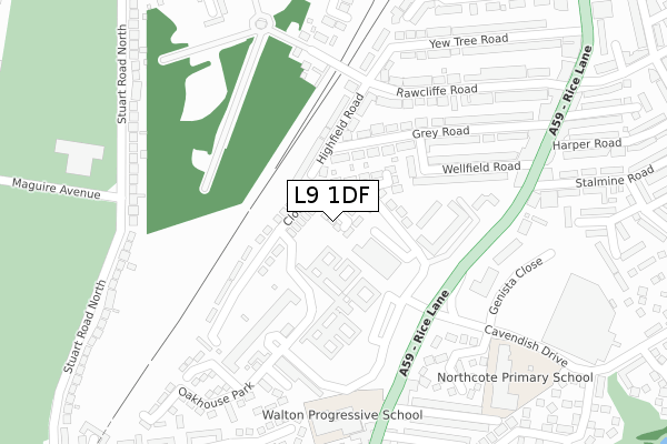
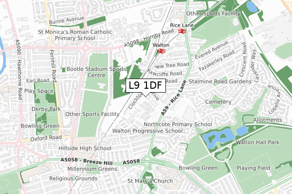
L9 1DF is located in the Walton electoral ward, within the metropolitan district of Liverpool and the English Parliamentary constituency of Liverpool, Walton. The Sub Integrated Care Board (ICB) Location is NHS Cheshire and Merseyside ICB - 99A and the police force is Merseyside. This postcode has been in use since December 2018.


GetTheData
Source: OS Open Zoomstack (Ordnance Survey)
Licence: Open Government Licence (requires attribution)
Attribution: Contains OS data © Crown copyright and database right 2025
Source: Open Postcode Geo
Licence: Open Government Licence (requires attribution)
Attribution: Contains OS data © Crown copyright and database right 2025; Contains Royal Mail data © Royal Mail copyright and database right 2025; Source: Office for National Statistics licensed under the Open Government Licence v.3.0
| Easting | 335858 |
| Northing | 395520 |
| Latitude | 53.452531 |
| Longitude | -2.967349 |
GetTheData
Source: Open Postcode Geo
Licence: Open Government Licence
| Country | England |
| Postcode District | L9 |
➜ See where L9 is on a map ➜ Where is Liverpool? | |
GetTheData
Source: Land Registry Price Paid Data
Licence: Open Government Licence
| Ward | Walton |
| Constituency | Liverpool, Walton |
GetTheData
Source: ONS Postcode Database
Licence: Open Government Licence
| Opp Sainsburys (Rice Lane) | Walton | 199m |
| Opp Sainsburys (Rice Lane) | Walton | 208m |
| Sainsburys (Rice Lane) | Walton | 213m |
| Sainsburys (Rice Lane) | Walton | 217m |
| Genista Close (Cavendish Drive) | Walton | 316m |
| Walton (Merseyside) Station | 0.4km |
| Rice Lane Station | 0.7km |
| Orrell Park Station | 1.1km |
GetTheData
Source: NaPTAN
Licence: Open Government Licence
| Percentage of properties with Next Generation Access | 100.0% |
| Percentage of properties with Superfast Broadband | 100.0% |
| Percentage of properties with Ultrafast Broadband | 100.0% |
| Percentage of properties with Full Fibre Broadband | 100.0% |
Superfast Broadband is between 30Mbps and 300Mbps
Ultrafast Broadband is > 300Mbps
| Percentage of properties unable to receive 2Mbps | 0.0% |
| Percentage of properties unable to receive 5Mbps | 0.0% |
| Percentage of properties unable to receive 10Mbps | 0.0% |
| Percentage of properties unable to receive 30Mbps | 0.0% |
GetTheData
Source: Ofcom
Licence: Ofcom Terms of Use (requires attribution)
GetTheData
Source: ONS Postcode Database
Licence: Open Government Licence


➜ Get more ratings from the Food Standards Agency
GetTheData
Source: Food Standards Agency
Licence: FSA terms & conditions
| Last Collection | |||
|---|---|---|---|
| Location | Mon-Fri | Sat | Distance |
| Cavendish Drive | 16:00 | 12:00 | 366m |
| Rice Lane | 16:00 | 12:00 | 464m |
| Hawthorne Road | 17:00 | 12:00 | 1,084m |
GetTheData
Source: Dracos
Licence: Creative Commons Attribution-ShareAlike
The below table lists the International Territorial Level (ITL) codes (formerly Nomenclature of Territorial Units for Statistics (NUTS) codes) and Local Administrative Units (LAU) codes for L9 1DF:
| ITL 1 Code | Name |
|---|---|
| TLD | North West (England) |
| ITL 2 Code | Name |
| TLD7 | Merseyside |
| ITL 3 Code | Name |
| TLD72 | Liverpool |
| LAU 1 Code | Name |
| E08000012 | Liverpool |
GetTheData
Source: ONS Postcode Directory
Licence: Open Government Licence
The below table lists the Census Output Area (OA), Lower Layer Super Output Area (LSOA), and Middle Layer Super Output Area (MSOA) for L9 1DF:
| Code | Name | |
|---|---|---|
| OA | E00034426 | |
| LSOA | E01006790 | Liverpool 006C |
| MSOA | E02001352 | Liverpool 006 |
GetTheData
Source: ONS Postcode Directory
Licence: Open Government Licence
| L9 1AG | Clocktower Drive | 66m |
| L9 1AS | Highfield Road | 132m |
| L9 1AU | Barton Road | 148m |
| L9 1LS | Vale Lodge | 151m |
| L9 1LR | Vale Lodge | 169m |
| L9 1EP | Oakhouse Park | 196m |
| L9 1AX | Grey Road | 202m |
| L9 1AT | Wellfield Road | 214m |
| L9 1AY | Grey Road | 246m |
| L9 1AN | Rawcliffe Road | 266m |
GetTheData
Source: Open Postcode Geo; Land Registry Price Paid Data
Licence: Open Government Licence