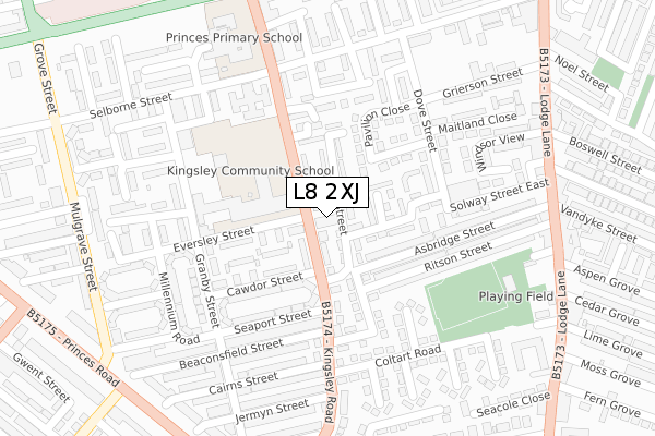
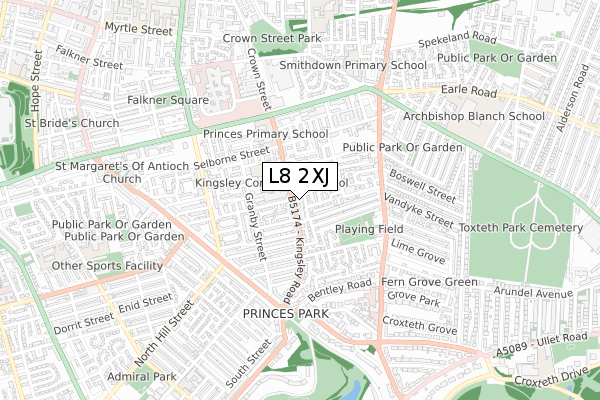
L8 2XJ is located in the Princes Park electoral ward, within the metropolitan district of Liverpool and the English Parliamentary constituency of Liverpool, Riverside. The Sub Integrated Care Board (ICB) Location is NHS Cheshire and Merseyside ICB - 99A and the police force is Merseyside. This postcode has been in use since December 2019.


GetTheData
Source: OS Open Zoomstack (Ordnance Survey)
Licence: Open Government Licence (requires attribution)
Attribution: Contains OS data © Crown copyright and database right 2025
Source: Open Postcode Geo
Licence: Open Government Licence (requires attribution)
Attribution: Contains OS data © Crown copyright and database right 2025; Contains Royal Mail data © Royal Mail copyright and database right 2025; Source: Office for National Statistics licensed under the Open Government Licence v.3.0
| Easting | 336617 |
| Northing | 389056 |
| Latitude | 53.394530 |
| Longitude | -2.954619 |
GetTheData
Source: Open Postcode Geo
Licence: Open Government Licence
| Country | England |
| Postcode District | L8 |
➜ See where L8 is on a map ➜ Where is Liverpool? | |
GetTheData
Source: Land Registry Price Paid Data
Licence: Open Government Licence
| Ward | Princes Park |
| Constituency | Liverpool, Riverside |
GetTheData
Source: ONS Postcode Database
Licence: Open Government Licence
| Ponsonby Street (Kingsley Road) | Toxteth | 31m |
| Ponsonby Street (Kingsley Road) | Toxteth | 48m |
| Cairns Street (Kinglsey Road) | Toxteth | 223m |
| Birt Close (Kingsley Road) | Toxteth | 287m |
| Jermyn Street (Kinglsey Road) | Toxteth | 296m |
| Edge Hill Station | 1.1km |
| Brunswick Station | 1.9km |
| Liverpool Central Station | 2km |
GetTheData
Source: NaPTAN
Licence: Open Government Licence
GetTheData
Source: ONS Postcode Database
Licence: Open Government Licence


➜ Get more ratings from the Food Standards Agency
GetTheData
Source: Food Standards Agency
Licence: FSA terms & conditions
| Last Collection | |||
|---|---|---|---|
| Location | Mon-Fri | Sat | Distance |
| Kingsley Road | 17:00 | 12:00 | 82m |
| Granby Street | 17:15 | 12:00 | 245m |
| Granby Street | 17:00 | 12:00 | 346m |
GetTheData
Source: Dracos
Licence: Creative Commons Attribution-ShareAlike
The below table lists the International Territorial Level (ITL) codes (formerly Nomenclature of Territorial Units for Statistics (NUTS) codes) and Local Administrative Units (LAU) codes for L8 2XJ:
| ITL 1 Code | Name |
|---|---|
| TLD | North West (England) |
| ITL 2 Code | Name |
| TLD7 | Merseyside |
| ITL 3 Code | Name |
| TLD72 | Liverpool |
| LAU 1 Code | Name |
| E08000012 | Liverpool |
GetTheData
Source: ONS Postcode Directory
Licence: Open Government Licence
The below table lists the Census Output Area (OA), Lower Layer Super Output Area (LSOA), and Middle Layer Super Output Area (MSOA) for L8 2XJ:
| Code | Name | |
|---|---|---|
| OA | E00033818 | |
| LSOA | E01006674 | Liverpool 039C |
| MSOA | E02001385 | Liverpool 039 |
GetTheData
Source: ONS Postcode Directory
Licence: Open Government Licence
| L8 2TY | Kingsley Road | 30m |
| L8 2XG | Kingsley Road | 42m |
| L8 2UF | Alt Street | 45m |
| L8 2XZ | Palomar Close | 94m |
| L8 0TY | Solway Street West | 105m |
| L8 2XH | Kingsley Road | 117m |
| L8 2XD | Cawdor Street | 143m |
| L8 2YH | Herbie Higgins Close | 144m |
| L8 2XX | St Bernards Close | 144m |
| L8 0YF | Ryedale Close | 181m |
GetTheData
Source: Open Postcode Geo; Land Registry Price Paid Data
Licence: Open Government Licence