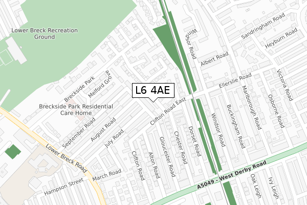
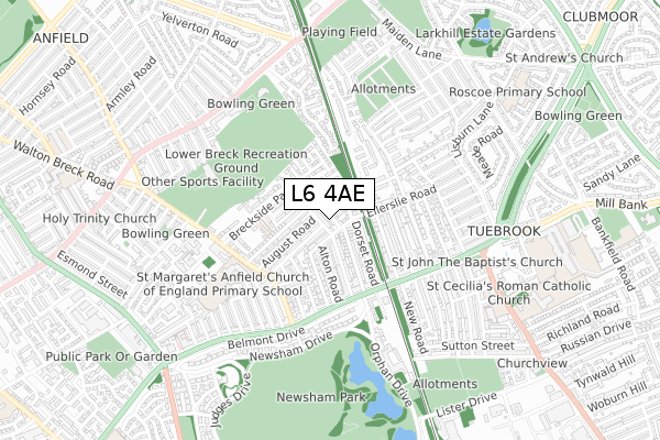
L6 4AE is located in the Tuebrook Breckside Park electoral ward, within the metropolitan district of Liverpool and the English Parliamentary constituency of Liverpool, West Derby. The Sub Integrated Care Board (ICB) Location is NHS Cheshire and Merseyside ICB - 99A and the police force is Merseyside. This postcode has been in use since August 2017.


GetTheData
Source: OS Open Zoomstack (Ordnance Survey)
Licence: Open Government Licence (requires attribution)
Attribution: Contains OS data © Crown copyright and database right 2025
Source: Open Postcode Geo
Licence: Open Government Licence (requires attribution)
Attribution: Contains OS data © Crown copyright and database right 2025; Contains Royal Mail data © Royal Mail copyright and database right 2025; Source: Office for National Statistics licensed under the Open Government Licence v.3.0
| Easting | 337739 |
| Northing | 392563 |
| Latitude | 53.426182 |
| Longitude | -2.938443 |
GetTheData
Source: Open Postcode Geo
Licence: Open Government Licence
| Country | England |
| Postcode District | L6 |
➜ See where L6 is on a map ➜ Where is Liverpool? | |
GetTheData
Source: Land Registry Price Paid Data
Licence: Open Government Licence
| Ward | Tuebrook Breckside Park |
| Constituency | Liverpool, West Derby |
GetTheData
Source: ONS Postcode Database
Licence: Open Government Licence
| Windsor Road (West Derby Road) | Tuebrook | 322m |
| West Derby Road (Lower Breck Road) | Tuebrook | 337m |
| August Road (Lower Breck Road) | Tuebrook | 347m |
| New Road (West Derby Road) | Tuebrook | 359m |
| Rocky Lane (Lower Breck Road) | Tuebrook | 386m |
| Wavertree Technology Park Station | 2.6km |
| Edge Hill Station | 2.7km |
| Kirkdale Station | 3.3km |
GetTheData
Source: NaPTAN
Licence: Open Government Licence
| Percentage of properties with Next Generation Access | 100.0% |
| Percentage of properties with Superfast Broadband | 100.0% |
| Percentage of properties with Ultrafast Broadband | 0.0% |
| Percentage of properties with Full Fibre Broadband | 0.0% |
Superfast Broadband is between 30Mbps and 300Mbps
Ultrafast Broadband is > 300Mbps
| Percentage of properties unable to receive 2Mbps | 0.0% |
| Percentage of properties unable to receive 5Mbps | 0.0% |
| Percentage of properties unable to receive 10Mbps | 0.0% |
| Percentage of properties unable to receive 30Mbps | 0.0% |
GetTheData
Source: Ofcom
Licence: Ofcom Terms of Use (requires attribution)
GetTheData
Source: ONS Postcode Database
Licence: Open Government Licence


➜ Get more ratings from the Food Standards Agency
GetTheData
Source: Food Standards Agency
Licence: FSA terms & conditions
| Last Collection | |||
|---|---|---|---|
| Location | Mon-Fri | Sat | Distance |
| Mill Bank | 17:15 | 12:00 | 988m |
| Derby Lane | 17:30 | 12:00 | 1,766m |
| Old Swan Post Office | 17:00 | 12:00 | 1,826m |
GetTheData
Source: Dracos
Licence: Creative Commons Attribution-ShareAlike
The below table lists the International Territorial Level (ITL) codes (formerly Nomenclature of Territorial Units for Statistics (NUTS) codes) and Local Administrative Units (LAU) codes for L6 4AE:
| ITL 1 Code | Name |
|---|---|
| TLD | North West (England) |
| ITL 2 Code | Name |
| TLD7 | Merseyside |
| ITL 3 Code | Name |
| TLD72 | Liverpool |
| LAU 1 Code | Name |
| E08000012 | Liverpool |
GetTheData
Source: ONS Postcode Directory
Licence: Open Government Licence
The below table lists the Census Output Area (OA), Lower Layer Super Output Area (LSOA), and Middle Layer Super Output Area (MSOA) for L6 4AE:
| Code | Name | |
|---|---|---|
| OA | E00034311 | |
| LSOA | E01006767 | Liverpool 019F |
| MSOA | E02001365 | Liverpool 019 |
GetTheData
Source: ONS Postcode Directory
Licence: Open Government Licence
| L6 4DH | Whitby Street | 41m |
| L6 4DT | Gloucester Road North | 44m |
| L6 4EE | Clifton Road East | 82m |
| L6 4EB | Clifton Road East | 94m |
| L6 4EA | Simms Road | 102m |
| L6 4ET | October Drive | 125m |
| L6 4DY | Chester Road | 145m |
| L6 4BS | July Road | 154m |
| L6 4BT | July Road | 155m |
| L6 4DS | Gloucester Road | 156m |
GetTheData
Source: Open Postcode Geo; Land Registry Price Paid Data
Licence: Open Government Licence