L5 8AD maps, stats, and open data
- Home
- Postcode
- L
- L5
- L5 8
L5 8AD is located in the Vauxhall electoral ward, within the metropolitan district of Liverpool and the English Parliamentary constituency of Liverpool, Riverside. The Sub Integrated Care Board (ICB) Location is NHS Cheshire and Merseyside ICB - 99A and the police force is Merseyside. This postcode has been in use since April 2019.
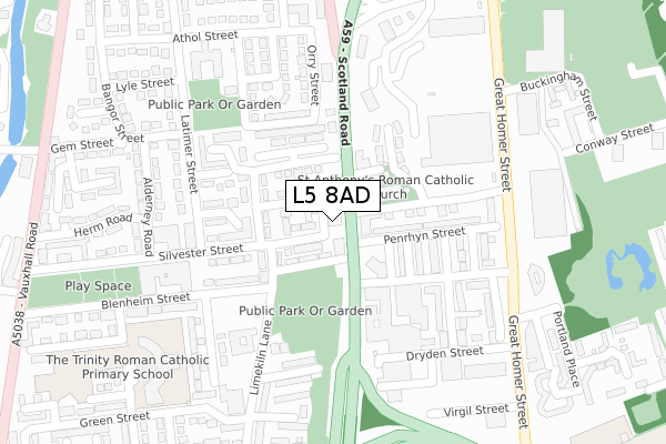
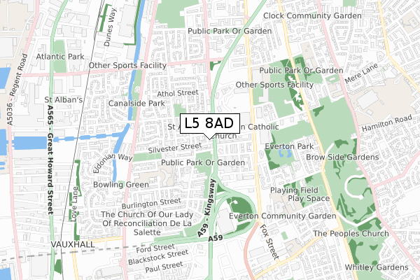
L5 8AD maps


Source: OS Open Zoomstack (Ordnance Survey)
Licence: Open Government Licence (requires attribution)
Attribution: Contains OS data © Crown copyright and database right 2025
Source: Open Postcode GeoLicence: Open Government Licence (requires attribution)
Attribution: Contains OS data © Crown copyright and database right 2025; Contains Royal Mail data © Royal Mail copyright and database right 2025; Source: Office for National Statistics licensed under the Open Government Licence v.3.0
L5 8AD geodata
| Easting | 334815 |
| Northing | 392125 |
| Latitude | 53.421892 |
| Longitude | -2.982349 |
Where is L5 8AD?
| Country | England |
| Postcode District | L5 |
Politics
| Ward | Vauxhall |
|---|
| Constituency | Liverpool, Riverside |
|---|
Transport
Nearest bus stops to L5 8AD
| Westmoreland Place (Scotland Road) | Kirkdale | 70m |
| St Anthonys Church (Scotland Road) | Vauxhall | 88m |
| Westmoreland Place (Scotland Road) | Kirkdale | 89m |
| Mckeown Close (Latimer Street) | Kirkdale | 201m |
| Silvester Street (Latimer Street) | Kirkdale | 206m |
Nearest railway stations to L5 8AD
| Sandhills Station | 1.1km |
| Moorfields Station | 1.5km |
| Liverpool Lime Street Low Level Station | 1.6km |
Broadband
Broadband access in L5 8AD (2020 data)
| Percentage of properties with Next Generation Access | 100.0% |
| Percentage of properties with Superfast Broadband | 100.0% |
| Percentage of properties with Ultrafast Broadband | 0.0% |
| Percentage of properties with Full Fibre Broadband | 0.0% |
Superfast Broadband is between 30Mbps and 300Mbps
Ultrafast Broadband is > 300Mbps
Broadband limitations in L5 8AD (2020 data)
| Percentage of properties unable to receive 2Mbps | 0.0% |
| Percentage of properties unable to receive 5Mbps | 0.0% |
| Percentage of properties unable to receive 10Mbps | 0.0% |
| Percentage of properties unable to receive 30Mbps | 0.0% |
Deprivation
99.2% of English postcodes are less deprived than
L5 8AD:
Food Standards Agency
Three nearest food hygiene ratings to L5 8AD (metres)
Uncles Chicken Shack
Uncles Chicken Shack Telegraph Service Station Scotland Road
106m
The Flavours Butchers & Groceries
McDonald's
Mcdonalds 28 Jennifer Avenue
190m
➜ Get more ratings from the Food Standards Agency
Nearest post box to L5 8AD
| | Last Collection | |
|---|
| Location | Mon-Fri | Sat | Distance |
|---|
| Heyworth Street | 16:30 | 12:00 | 862m |
| Lightbody Street | 17:15 | 12:00 | 937m |
| Great Howard Street | 18:15 | 12:00 | 992m |
L5 8AD ITL and L5 8AD LAU
The below table lists the International Territorial Level (ITL) codes (formerly Nomenclature of Territorial Units for Statistics (NUTS) codes) and Local Administrative Units (LAU) codes for L5 8AD:
| ITL 1 Code | Name |
|---|
| TLD | North West (England) |
| ITL 2 Code | Name |
|---|
| TLD7 | Merseyside |
| ITL 3 Code | Name |
|---|
| TLD72 | Liverpool |
| LAU 1 Code | Name |
|---|
| E08000012 | Liverpool |
L5 8AD census areas
The below table lists the Census Output Area (OA), Lower Layer Super Output Area (LSOA), and Middle Layer Super Output Area (MSOA) for L5 8AD:
| Code | Name |
|---|
| OA | E00034351 | |
|---|
| LSOA | E01033764 | Liverpool 022E |
|---|
| MSOA | E02001368 | Liverpool 022 |
|---|
Nearest postcodes to L5 8AD


