L24 0AD maps, stats, and open data
L24 0AD is located in the Speke electoral ward, within the metropolitan district of Liverpool and the English Parliamentary constituency of Garston and Halewood. The Sub Integrated Care Board (ICB) Location is NHS Cheshire and Merseyside ICB - 99A and the police force is Merseyside. This postcode has been in use since May 2018.
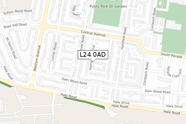
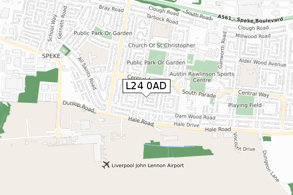
L24 0AD maps


Licence: Open Government Licence (requires attribution)
Attribution: Contains OS data © Crown copyright and database right 2025
Source: Open Postcode Geo
Licence: Open Government Licence (requires attribution)
Attribution: Contains OS data © Crown copyright and database right 2025; Contains Royal Mail data © Royal Mail copyright and database right 2025; Source: Office for National Statistics licensed under the Open Government Licence v.3.0
L24 0AD geodata
| Easting | 343699 |
| Northing | 382996 |
| Latitude | 53.340869 |
| Longitude | -2.847052 |
Where is L24 0AD?
| Country | England |
| Postcode District | L24 |
Politics
| Ward | Speke |
|---|---|
| Constituency | Garston And Halewood |
House Prices
Sales of detached houses in L24 0AD
1, HAMMOND DRIVE, LIVERPOOL, L24 0AD 2020 17 JUL £167,995 |
2019 9 AUG £153,000 |
2018 31 AUG £142,995 |
Licence: Contains HM Land Registry data © Crown copyright and database right 2025. This data is licensed under the Open Government Licence v3.0.
Transport
Nearest bus stops to L24 0AD
| Lovel Road (Central Avenue) | Speke | 137m |
| Lovel Road (Central Avenue) | Speke | 144m |
| Lovel Road (Damwood Road) | Speke | 169m |
| Harefield Road (Central Avenue) | Speke | 201m |
| Conleach Road (Central Avenue) | Speke | 223m |
Nearest railway stations to L24 0AD
| Hunts Cross Station | 2.3km |
| Halewood Station | 2.9km |
| Liverpool South Parkway Station | 3.4km |
Broadband
Broadband access in L24 0AD (2020 data)
| Percentage of properties with Next Generation Access | 100.0% |
| Percentage of properties with Superfast Broadband | 100.0% |
| Percentage of properties with Ultrafast Broadband | 69.2% |
| Percentage of properties with Full Fibre Broadband | 69.2% |
Superfast Broadband is between 30Mbps and 300Mbps
Ultrafast Broadband is > 300Mbps
Broadband limitations in L24 0AD (2020 data)
| Percentage of properties unable to receive 2Mbps | 0.0% |
| Percentage of properties unable to receive 5Mbps | 0.0% |
| Percentage of properties unable to receive 10Mbps | 0.0% |
| Percentage of properties unable to receive 30Mbps | 0.0% |
Deprivation
96.6% of English postcodes are less deprived than L24 0AD:Food Standards Agency
Three nearest food hygiene ratings to L24 0AD (metres)


➜ Get more ratings from the Food Standards Agency
Nearest post box to L24 0AD
| Last Collection | |||
|---|---|---|---|
| Location | Mon-Fri | Sat | Distance |
| Harefield Road | 16:30 | 12:00 | 214m |
| Speke Post Office | 17:15 | 12:00 | 365m |
| All Saints Road | 16:30 | 12:00 | 376m |
L24 0AD ITL and L24 0AD LAU
The below table lists the International Territorial Level (ITL) codes (formerly Nomenclature of Territorial Units for Statistics (NUTS) codes) and Local Administrative Units (LAU) codes for L24 0AD:
| ITL 1 Code | Name |
|---|---|
| TLD | North West (England) |
| ITL 2 Code | Name |
| TLD7 | Merseyside |
| ITL 3 Code | Name |
| TLD72 | Liverpool |
| LAU 1 Code | Name |
| E08000012 | Liverpool |
L24 0AD census areas
The below table lists the Census Output Area (OA), Lower Layer Super Output Area (LSOA), and Middle Layer Super Output Area (MSOA) for L24 0AD:
| Code | Name | |
|---|---|---|
| OA | E00034258 | |
| LSOA | E01006753 | Liverpool 059A |
| MSOA | E02001405 | Liverpool 059 |
Nearest postcodes to L24 0AD
| L24 3UF | Lovel Road | 72m |
| L24 0TP | Central Avenue | 121m |
| L24 0SD | Harefield Road | 127m |
| L24 0TD | Damwood Road | 139m |
| L24 0TL | Central Avenue | 160m |
| L24 3UH | Fenton Close | 177m |
| L24 3UD | Fenton Green | 190m |
| L24 3XQ | Central Avenue | 193m |
| L24 0TF | Hindley Walk | 200m |
| L24 3UQ | Linner Road | 207m |