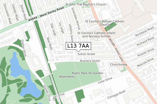
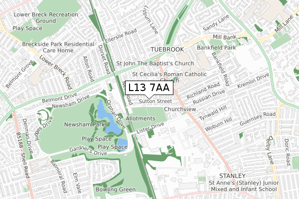
L13 7AA is located in the Stoneycroft electoral ward, within the metropolitan district of Liverpool and the English Parliamentary constituency of Liverpool, West Derby. The Sub Integrated Care Board (ICB) Location is NHS Cheshire and Merseyside ICB - 99A and the police force is Merseyside. This postcode has been in use since February 2020.


GetTheData
Source: OS Open Zoomstack (Ordnance Survey)
Licence: Open Government Licence (requires attribution)
Attribution: Contains OS data © Crown copyright and database right 2025
Source: Open Postcode Geo
Licence: Open Government Licence (requires attribution)
Attribution: Contains OS data © Crown copyright and database right 2025; Contains Royal Mail data © Royal Mail copyright and database right 2025; Source: Office for National Statistics licensed under the Open Government Licence v.3.0
| Easting | 338250 |
| Northing | 392101 |
| Latitude | 53.422090 |
| Longitude | -2.930663 |
GetTheData
Source: Open Postcode Geo
Licence: Open Government Licence
| Country | England |
| Postcode District | L13 |
➜ See where L13 is on a map ➜ Where is Liverpool? | |
GetTheData
Source: Land Registry Price Paid Data
Licence: Open Government Licence
| Ward | Stoneycroft |
| Constituency | Liverpool, West Derby |
GetTheData
Source: ONS Postcode Database
Licence: Open Government Licence
| Rockbank Lane (Green Lane) | Tuebrook | 223m |
| Sutton Street (Green Lane) | Tuebrook | 244m |
| Santon Avenue (Green Lane) | Tuebrook | 298m |
| Santon Avenue (Green Lane) | Tuebrook | 309m |
| New Road (West Derby Road) | Tuebrook | 330m |
| Wavertree Technology Park Station | 1.9km |
| Edge Hill Station | 2.4km |
| Broad Green Station | 3km |
GetTheData
Source: NaPTAN
Licence: Open Government Licence
GetTheData
Source: ONS Postcode Database
Licence: Open Government Licence


➜ Get more ratings from the Food Standards Agency
GetTheData
Source: Food Standards Agency
Licence: FSA terms & conditions
| Last Collection | |||
|---|---|---|---|
| Location | Mon-Fri | Sat | Distance |
| Mill Bank | 17:15 | 12:00 | 697m |
| Derby Lane | 17:30 | 12:00 | 1,123m |
| Old Swan Post Office | 17:00 | 12:00 | 1,137m |
GetTheData
Source: Dracos
Licence: Creative Commons Attribution-ShareAlike
The below table lists the International Territorial Level (ITL) codes (formerly Nomenclature of Territorial Units for Statistics (NUTS) codes) and Local Administrative Units (LAU) codes for L13 7AA:
| ITL 1 Code | Name |
|---|---|
| TLD | North West (England) |
| ITL 2 Code | Name |
| TLD7 | Merseyside |
| ITL 3 Code | Name |
| TLD72 | Liverpool |
| LAU 1 Code | Name |
| E08000012 | Liverpool |
GetTheData
Source: ONS Postcode Directory
Licence: Open Government Licence
The below table lists the Census Output Area (OA), Lower Layer Super Output Area (LSOA), and Middle Layer Super Output Area (MSOA) for L13 7AA:
| Code | Name | |
|---|---|---|
| OA | E00034276 | |
| LSOA | E01006764 | Liverpool 020D |
| MSOA | E02001366 | Liverpool 020 |
GetTheData
Source: ONS Postcode Directory
Licence: Open Government Licence
| L13 7EQ | Sutton Street | 43m |
| L13 7EL | Sutton Street | 50m |
| L13 7ET | Hilberry Avenue | 88m |
| L13 7HX | New Road | 96m |
| L13 7EZ | Silverdale Avenue | 96m |
| L13 7FG | Clairville Way | 97m |
| L13 7HB | Snaefell Avenue | 101m |
| L13 7EH | Brainerd Street | 121m |
| L13 7EX | Snaefell Grove | 137m |
| L13 7EJ | Sutton Street | 140m |
GetTheData
Source: Open Postcode Geo; Land Registry Price Paid Data
Licence: Open Government Licence