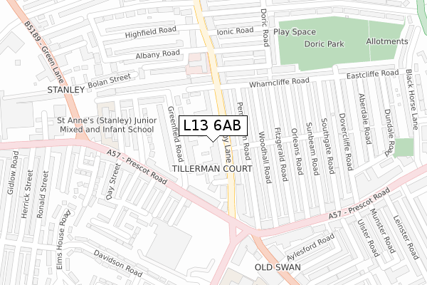
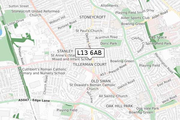
L13 6AB is located in the Old Swan West electoral ward, within the metropolitan district of Liverpool and the English Parliamentary constituency of Liverpool, Wavertree. The Sub Integrated Care Board (ICB) Location is NHS Cheshire and Merseyside ICB - 99A and the police force is Merseyside. This postcode has been in use since June 2019.


GetTheData
Source: OS Open Zoomstack (Ordnance Survey)
Licence: Open Government Licence (requires attribution)
Attribution: Contains OS data © Crown copyright and database right 2025
Source: Open Postcode Geo
Licence: Open Government Licence (requires attribution)
Attribution: Contains OS data © Crown copyright and database right 2025; Contains Royal Mail data © Royal Mail copyright and database right 2025; Source: Office for National Statistics licensed under the Open Government Licence v.3.0
| Easting | 339290 |
| Northing | 391338 |
| Latitude | 53.415354 |
| Longitude | -2.914868 |
GetTheData
Source: Open Postcode Geo
Licence: Open Government Licence
| Country | England |
| Postcode District | L13 |
➜ See where L13 is on a map ➜ Where is Liverpool? | |
GetTheData
Source: Land Registry Price Paid Data
Licence: Open Government Licence
| Ward | Old Swan West |
| Constituency | Liverpool, Wavertree |
GetTheData
Source: ONS Postcode Database
Licence: Open Government Licence
| Greenfield Road (Prescot Road) | Old Swan | 132m |
| St Oswald Street (Derby Lane) | Old Swan | 132m |
| Prescot Road (Derby Lane) | Old Swan | 134m |
| Booth Street (Prescot Road) | Old Swan | 146m |
| Bell Street (Prescot Road) | Old Swan | 157m |
| Wavertree Technology Park Station | 1.2km |
| Broad Green Station | 1.7km |
| Edge Hill Station | 2.5km |
GetTheData
Source: NaPTAN
Licence: Open Government Licence
GetTheData
Source: ONS Postcode Database
Licence: Open Government Licence


➜ Get more ratings from the Food Standards Agency
GetTheData
Source: Food Standards Agency
Licence: FSA terms & conditions
| Last Collection | |||
|---|---|---|---|
| Location | Mon-Fri | Sat | Distance |
| Old Swan Post Office | 17:00 | 12:00 | 214m |
| Derby Lane | 17:30 | 12:00 | 462m |
| Broadgreen Road | 16:15 | 12:00 | 634m |
GetTheData
Source: Dracos
Licence: Creative Commons Attribution-ShareAlike
The below table lists the International Territorial Level (ITL) codes (formerly Nomenclature of Territorial Units for Statistics (NUTS) codes) and Local Administrative Units (LAU) codes for L13 6AB:
| ITL 1 Code | Name |
|---|---|
| TLD | North West (England) |
| ITL 2 Code | Name |
| TLD7 | Merseyside |
| ITL 3 Code | Name |
| TLD72 | Liverpool |
| LAU 1 Code | Name |
| E08000012 | Liverpool |
GetTheData
Source: ONS Postcode Directory
Licence: Open Government Licence
The below table lists the Census Output Area (OA), Lower Layer Super Output Area (LSOA), and Middle Layer Super Output Area (MSOA) for L13 6AB:
| Code | Name | |
|---|---|---|
| OA | E00034055 | |
| LSOA | E01032508 | Liverpool 027G |
| MSOA | E02001373 | Liverpool 027 |
GetTheData
Source: ONS Postcode Directory
Licence: Open Government Licence
| L13 6QA | Derby Lane | 23m |
| L13 3DN | Derby Lane | 75m |
| L13 3EQ | Pemberton Road | 80m |
| L13 3DL | Derby Lane | 107m |
| L13 3BN | Greenfield Road | 113m |
| L13 3EF | Woodhall Road | 114m |
| L13 3BU | Prescot Road | 129m |
| L13 3EG | Pemberton Road | 145m |
| L13 3BT | Prescot Road | 148m |
| L13 3EE | Woodhall Road | 151m |
GetTheData
Source: Open Postcode Geo; Land Registry Price Paid Data
Licence: Open Government Licence