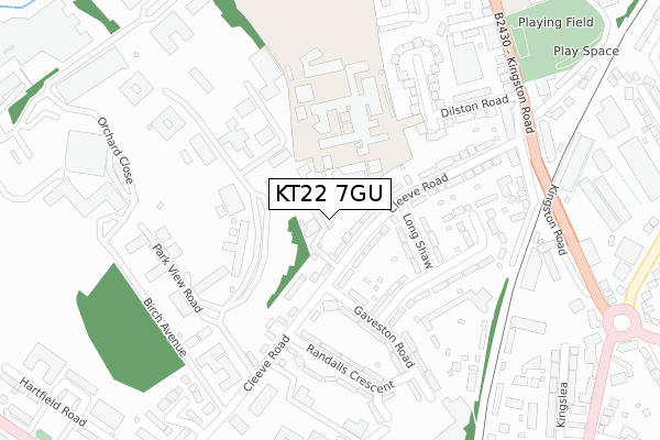
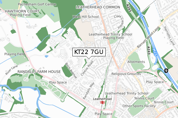
KT22 7GU is located in the Leatherhead North electoral ward, within the local authority district of Mole Valley and the English Parliamentary constituency of Mole Valley. The Sub Integrated Care Board (ICB) Location is NHS Surrey Heartlands ICB - 92A and the police force is Surrey. This postcode has been in use since October 2018.


GetTheData
Source: OS Open Zoomstack (Ordnance Survey)
Licence: Open Government Licence (requires attribution)
Attribution: Contains OS data © Crown copyright and database right 2025
Source: Open Postcode Geo
Licence: Open Government Licence (requires attribution)
Attribution: Contains OS data © Crown copyright and database right 2025; Contains Royal Mail data © Royal Mail copyright and database right 2025; Source: Office for National Statistics licensed under the Open Government Licence v.3.0
| Easting | 516121 |
| Northing | 157483 |
| Latitude | 51.304630 |
| Longitude | -0.335566 |
GetTheData
Source: Open Postcode Geo
Licence: Open Government Licence
| Country | England |
| Postcode District | KT22 |
➜ See where KT22 is on a map ➜ Where is Leatherhead? | |
GetTheData
Source: Land Registry Price Paid Data
Licence: Open Government Licence
| Ward | Leatherhead North |
| Constituency | Mole Valley |
GetTheData
Source: ONS Postcode Database
Licence: Open Government Licence
| All Saints School (Kingston Road) | Leatherhead | 394m |
| All Saints School (Kingston Road) | Leatherhead | 409m |
| All Saints Church (Kingston Road) | Leatherhead | 483m |
| All Saints Church (Kingston Road) | Leatherhead | 490m |
| The Royal Oak (Kingston Road) | Leatherhead | 522m |
| Leatherhead Station | 0.7km |
| Ashtead Station | 2.4km |
| Bookham Station | 3.8km |
GetTheData
Source: NaPTAN
Licence: Open Government Licence
| Percentage of properties with Next Generation Access | 100.0% |
| Percentage of properties with Superfast Broadband | 100.0% |
| Percentage of properties with Ultrafast Broadband | 100.0% |
| Percentage of properties with Full Fibre Broadband | 100.0% |
Superfast Broadband is between 30Mbps and 300Mbps
Ultrafast Broadband is > 300Mbps
| Percentage of properties unable to receive 2Mbps | 0.0% |
| Percentage of properties unable to receive 5Mbps | 0.0% |
| Percentage of properties unable to receive 10Mbps | 0.0% |
| Percentage of properties unable to receive 30Mbps | 0.0% |
GetTheData
Source: Ofcom
Licence: Ofcom Terms of Use (requires attribution)
GetTheData
Source: ONS Postcode Database
Licence: Open Government Licence


➜ Get more ratings from the Food Standards Agency
GetTheData
Source: Food Standards Agency
Licence: FSA terms & conditions
| Last Collection | |||
|---|---|---|---|
| Location | Mon-Fri | Sat | Distance |
| Leatherhead Common Post Office | 17:30 | 12:00 | 386m |
| Clements Mead | 16:30 | 11:30 | 404m |
| Kingston Road Post Office | 17:45 | 12:00 | 485m |
GetTheData
Source: Dracos
Licence: Creative Commons Attribution-ShareAlike
The below table lists the International Territorial Level (ITL) codes (formerly Nomenclature of Territorial Units for Statistics (NUTS) codes) and Local Administrative Units (LAU) codes for KT22 7GU:
| ITL 1 Code | Name |
|---|---|
| TLJ | South East (England) |
| ITL 2 Code | Name |
| TLJ2 | Surrey, East and West Sussex |
| ITL 3 Code | Name |
| TLJ26 | East Surrey |
| LAU 1 Code | Name |
| E07000210 | Mole Valley |
GetTheData
Source: ONS Postcode Directory
Licence: Open Government Licence
The below table lists the Census Output Area (OA), Lower Layer Super Output Area (LSOA), and Middle Layer Super Output Area (MSOA) for KT22 7GU:
| Code | Name | |
|---|---|---|
| OA | E00170380 | |
| LSOA | E01030548 | Mole Valley 003A |
| MSOA | E02006364 | Mole Valley 003 |
GetTheData
Source: ONS Postcode Directory
Licence: Open Government Licence
| KT22 7NH | Cleeve Road | 79m |
| KT22 7NE | Cleeve Road | 113m |
| KT22 7NQ | Longshaw | 121m |
| KT22 7RD | Cleeve Road | 122m |
| KT22 7SA | Cleeve Road | 154m |
| KT22 7NF | Cleeve Road | 166m |
| KT22 7NG | Cleeve Road | 193m |
| KT22 7NR | Gaveston Road | 211m |
| KT22 7NS | Randalls Park Avenue | 215m |
| KT22 7GD | Park View Road | 241m |
GetTheData
Source: Open Postcode Geo; Land Registry Price Paid Data
Licence: Open Government Licence