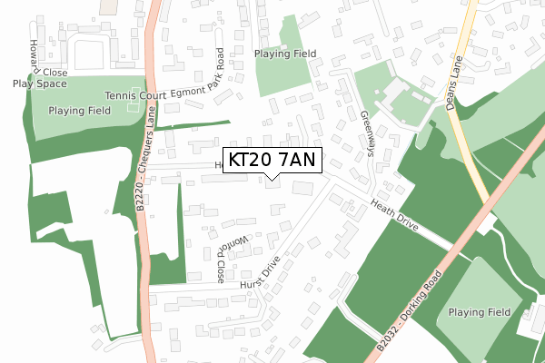
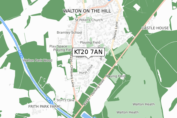
KT20 7AN is located in the Lower Kingswood, Tadworth & Walton electoral ward, within the local authority district of Reigate and Banstead and the English Parliamentary constituency of Reigate. The Sub Integrated Care Board (ICB) Location is NHS Surrey Heartlands ICB - 92A and the police force is Surrey. This postcode has been in use since November 2017.


GetTheData
Source: OS Open Zoomstack (Ordnance Survey)
Licence: Open Government Licence (requires attribution)
Attribution: Contains OS data © Crown copyright and database right 2025
Source: Open Postcode Geo
Licence: Open Government Licence (requires attribution)
Attribution: Contains OS data © Crown copyright and database right 2025; Contains Royal Mail data © Royal Mail copyright and database right 2025; Source: Office for National Statistics licensed under the Open Government Licence v.3.0
| Easting | 522357 |
| Northing | 154504 |
| Latitude | 51.276551 |
| Longitude | -0.247170 |
GetTheData
Source: Open Postcode Geo
Licence: Open Government Licence
| Country | England |
| Postcode District | KT20 |
➜ See where KT20 is on a map ➜ Where is Walton on the Hill? | |
GetTheData
Source: Land Registry Price Paid Data
Licence: Open Government Licence
| Ward | Lower Kingswood, Tadworth & Walton |
| Constituency | Reigate |
GetTheData
Source: ONS Postcode Database
Licence: Open Government Licence
| Howard Close | Walton On The Hill | 379m |
| The Chequers (Chequers Lane) | Walton On The Hill | 505m |
| The Chequers (Chequers Lane) | Walton On The Hill | 522m |
| Breech Lane (Chequers Lane) | Walton On The Hill | 619m |
| Breech Lane (Chequers Lane) | Walton On The Hill | 641m |
| Tadworth Station | 1.9km |
| Kingswood Station | 3.2km |
| Betchworth Station | 3.4km |
GetTheData
Source: NaPTAN
Licence: Open Government Licence
| Percentage of properties with Next Generation Access | 100.0% |
| Percentage of properties with Superfast Broadband | 100.0% |
| Percentage of properties with Ultrafast Broadband | 0.0% |
| Percentage of properties with Full Fibre Broadband | 0.0% |
Superfast Broadband is between 30Mbps and 300Mbps
Ultrafast Broadband is > 300Mbps
| Percentage of properties unable to receive 2Mbps | 0.0% |
| Percentage of properties unable to receive 5Mbps | 0.0% |
| Percentage of properties unable to receive 10Mbps | 0.0% |
| Percentage of properties unable to receive 30Mbps | 0.0% |
GetTheData
Source: Ofcom
Licence: Ofcom Terms of Use (requires attribution)
GetTheData
Source: ONS Postcode Database
Licence: Open Government Licence


➜ Get more ratings from the Food Standards Agency
GetTheData
Source: Food Standards Agency
Licence: FSA terms & conditions
| Last Collection | |||
|---|---|---|---|
| Location | Mon-Fri | Sat | Distance |
| Warners Corner | 17:30 | 11:45 | 496m |
| The Avenue | 17:15 | 11:45 | 1,737m |
| Tadworth Post Office | 17:45 | 12:30 | 1,795m |
GetTheData
Source: Dracos
Licence: Creative Commons Attribution-ShareAlike
The below table lists the International Territorial Level (ITL) codes (formerly Nomenclature of Territorial Units for Statistics (NUTS) codes) and Local Administrative Units (LAU) codes for KT20 7AN:
| ITL 1 Code | Name |
|---|---|
| TLJ | South East (England) |
| ITL 2 Code | Name |
| TLJ2 | Surrey, East and West Sussex |
| ITL 3 Code | Name |
| TLJ26 | East Surrey |
| LAU 1 Code | Name |
| E07000211 | Reigate and Banstead |
GetTheData
Source: ONS Postcode Directory
Licence: Open Government Licence
The below table lists the Census Output Area (OA), Lower Layer Super Output Area (LSOA), and Middle Layer Super Output Area (MSOA) for KT20 7AN:
| Code | Name | |
|---|---|---|
| OA | E00156247 | |
| LSOA | E01030635 | Reigate and Banstead 006A |
| MSOA | E02006380 | Reigate and Banstead 006 |
GetTheData
Source: ONS Postcode Directory
Licence: Open Government Licence
| KT20 7QN | Heath Drive | 56m |
| KT20 7QQ | Heath Drive | 77m |
| KT20 7QL | Heath Drive | 90m |
| KT20 7QX | Wonford Close | 117m |
| KT20 7QW | Heath Drive | 120m |
| KT20 7QH | Russell Close | 127m |
| KT20 7QS | Heath Drive | 172m |
| KT20 7QU | Hurst Drive | 176m |
| KT20 7QJ | Heath Drive | 178m |
| KT20 7QE | Greenways | 191m |
GetTheData
Source: Open Postcode Geo; Land Registry Price Paid Data
Licence: Open Government Licence