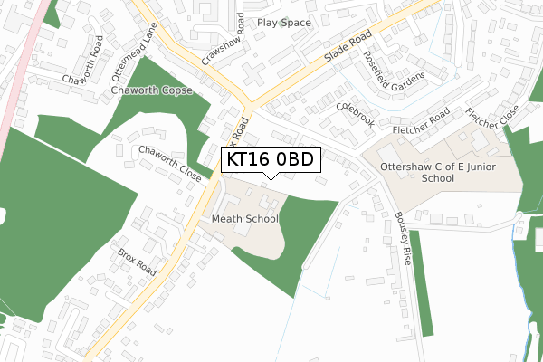
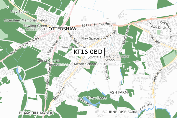
KT16 0BD is located in the Ottershaw electoral ward, within the local authority district of Runnymede and the English Parliamentary constituency of Runnymede and Weybridge. The Sub Integrated Care Board (ICB) Location is NHS Surrey Heartlands ICB - 92A and the police force is Surrey. This postcode has been in use since January 2018.


GetTheData
Source: OS Open Zoomstack (Ordnance Survey)
Licence: Open Government Licence (requires attribution)
Attribution: Contains OS data © Crown copyright and database right 2025
Source: Open Postcode Geo
Licence: Open Government Licence (requires attribution)
Attribution: Contains OS data © Crown copyright and database right 2025; Contains Royal Mail data © Royal Mail copyright and database right 2025; Source: Office for National Statistics licensed under the Open Government Licence v.3.0
| Easting | 502645 |
| Northing | 163510 |
| Latitude | 51.361393 |
| Longitude | -0.527079 |
GetTheData
Source: Open Postcode Geo
Licence: Open Government Licence
| Country | England |
| Postcode District | KT16 |
➜ See where KT16 is on a map ➜ Where is Ottershaw? | |
GetTheData
Source: Land Registry Price Paid Data
Licence: Open Government Licence
| Ward | Ottershaw |
| Constituency | Runnymede And Weybridge |
GetTheData
Source: ONS Postcode Database
Licence: Open Government Licence
| Slade Road (Brox Road) | Ottershaw | 116m |
| Slade Road (Brox Road) | Ottershaw | 191m |
| Brox Road | Brox | 217m |
| Brox Road | Brox | 247m |
| Brox Road Post Office (Brox Road) | Ottershaw | 403m |
| West Byfleet Station | 2.9km |
| Chertsey Station | 3.1km |
| Addlestone Station | 3.2km |
GetTheData
Source: NaPTAN
Licence: Open Government Licence
GetTheData
Source: ONS Postcode Database
Licence: Open Government Licence


➜ Get more ratings from the Food Standards Agency
GetTheData
Source: Food Standards Agency
Licence: FSA terms & conditions
| Last Collection | |||
|---|---|---|---|
| Location | Mon-Fri | Sat | Distance |
| Slade Road | 17:30 | 12:00 | 361m |
| Ottershaw Post Office | 17:30 | 12:00 | 411m |
| Ottershaw Church | 17:30 | 12:15 | 526m |
GetTheData
Source: Dracos
Licence: Creative Commons Attribution-ShareAlike
The below table lists the International Territorial Level (ITL) codes (formerly Nomenclature of Territorial Units for Statistics (NUTS) codes) and Local Administrative Units (LAU) codes for KT16 0BD:
| ITL 1 Code | Name |
|---|---|
| TLJ | South East (England) |
| ITL 2 Code | Name |
| TLJ2 | Surrey, East and West Sussex |
| ITL 3 Code | Name |
| TLJ25 | West Surrey |
| LAU 1 Code | Name |
| E07000212 | Runnymede |
GetTheData
Source: ONS Postcode Directory
Licence: Open Government Licence
The below table lists the Census Output Area (OA), Lower Layer Super Output Area (LSOA), and Middle Layer Super Output Area (MSOA) for KT16 0BD:
| Code | Name | |
|---|---|---|
| OA | E00156457 | |
| LSOA | E01030680 | Runnymede 008D |
| MSOA | E02006400 | Runnymede 008 |
GetTheData
Source: ONS Postcode Directory
Licence: Open Government Licence
| KT16 0JX | Bousley Rise | 97m |
| KT16 0LE | Brox Road | 118m |
| KT16 0JU | Colebrook | 186m |
| KT16 0JQ | Slade Road | 230m |
| KT16 0LS | Chaworth Close | 231m |
| KT16 0LB | Bousley Rise | 231m |
| KT16 0EY | Summerfield Place | 234m |
| KT16 0JJ | Slade Road | 234m |
| KT16 0HH | Brox Road | 255m |
| KT16 0LG | Brox Road | 258m |
GetTheData
Source: Open Postcode Geo; Land Registry Price Paid Data
Licence: Open Government Licence