KT15 2GZ maps, stats, and open data
- Home
- Postcode
- KT
- KT15
- KT15 2
KT15 2GZ is located in the Addlestone North electoral ward, within the local authority district of Runnymede and the English Parliamentary constituency of Runnymede and Weybridge. The Sub Integrated Care Board (ICB) Location is NHS Surrey Heartlands ICB - 92A and the police force is Surrey. This postcode has been in use since September 2018.
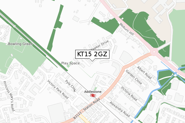
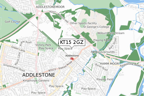
KT15 2GZ maps


Source: OS Open Zoomstack (Ordnance Survey)
Licence: Open Government Licence (requires attribution)
Attribution: Contains OS data © Crown copyright and database right 2025
Source: Open Postcode GeoLicence: Open Government Licence (requires attribution)
Attribution: Contains OS data © Crown copyright and database right 2025; Contains Royal Mail data © Royal Mail copyright and database right 2025; Source: Office for National Statistics licensed under the Open Government Licence v.3.0
KT15 2GZ geodata
| Easting | 505582 |
| Northing | 165057 |
| Latitude | 51.374761 |
| Longitude | -0.484453 |
Where is KT15 2GZ?
| Country | England |
| Postcode District | KT15 |
Politics
| Ward | Addlestone North |
|---|
| Constituency | Runnymede And Weybridge |
|---|
Transport
Nearest bus stops to KT15 2GZ
| Aviator Park (Station Road) | Addlestone | 164m |
| Aviator Park (Station Road) | Addlestone | 182m |
| Addlestone Railway Station (Station Road) | Addlestone | 221m |
| Addlestone Railway Station (Station Road) | Addlestone | 260m |
| Tesco (Station Road) | Addlestone | 394m |
Nearest railway stations to KT15 2GZ
| Addlestone Station | 0.2km |
| Chertsey Station | 2.2km |
| Weybridge Station | 2.4km |
Broadband
Broadband access in KT15 2GZ (2020 data)
| Percentage of properties with Next Generation Access | 100.0% |
| Percentage of properties with Superfast Broadband | 100.0% |
| Percentage of properties with Ultrafast Broadband | 100.0% |
| Percentage of properties with Full Fibre Broadband | 100.0% |
Superfast Broadband is between 30Mbps and 300Mbps
Ultrafast Broadband is > 300Mbps
Broadband limitations in KT15 2GZ (2020 data)
| Percentage of properties unable to receive 2Mbps | 0.0% |
| Percentage of properties unable to receive 5Mbps | 0.0% |
| Percentage of properties unable to receive 10Mbps | 0.0% |
| Percentage of properties unable to receive 30Mbps | 0.0% |
Deprivation
39.5% of English postcodes are less deprived than
KT15 2GZ:
Food Standards Agency
Three nearest food hygiene ratings to KT15 2GZ (metres)
Best-One
Don Papa Ristorante
Addlestone Food and Wine Superstore Ltd
➜ Get more ratings from the Food Standards Agency
Nearest post box to KT15 2GZ
| | Last Collection | |
|---|
| Location | Mon-Fri | Sat | Distance |
|---|
| Burn Close | 17:30 | 12:15 | 161m |
| Station Road | 17:30 | 12:30 | 280m |
| Addlestone Delivery Office 76 Station Road | 17:30 | 13:00 | 508m |
KT15 2GZ ITL and KT15 2GZ LAU
The below table lists the International Territorial Level (ITL) codes (formerly Nomenclature of Territorial Units for Statistics (NUTS) codes) and Local Administrative Units (LAU) codes for KT15 2GZ:
| ITL 1 Code | Name |
|---|
| TLJ | South East (England) |
| ITL 2 Code | Name |
|---|
| TLJ2 | Surrey, East and West Sussex |
| ITL 3 Code | Name |
|---|
| TLJ25 | West Surrey |
| LAU 1 Code | Name |
|---|
| E07000212 | Runnymede |
KT15 2GZ census areas
The below table lists the Census Output Area (OA), Lower Layer Super Output Area (LSOA), and Middle Layer Super Output Area (MSOA) for KT15 2GZ:
| Code | Name |
|---|
| OA | E00156307 | |
|---|
| LSOA | E01030649 | Runnymede 007C |
|---|
| MSOA | E02006399 | Runnymede 007 |
|---|
Nearest postcodes to KT15 2GZ


