Property/Postcode Data Search:
KT15 2GR maps, stats, and open data
KT15 2GR is located in the New Haw electoral ward, within the local authority district of Runnymede and the English Parliamentary constituency of Runnymede and Weybridge. The Sub Integrated Care Board (ICB) Location is NHS Surrey Heartlands ICB - 92A and the police force is Surrey. This postcode has been in use since June 2018.
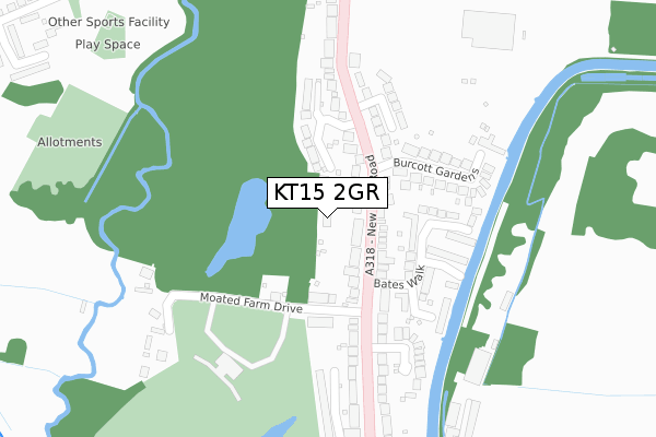
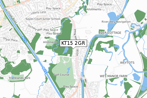
KT15 2GR maps


Source: OS Open Zoomstack (Ordnance Survey)
Licence: Open Government Licence (requires attribution)
Attribution: Contains OS data © Crown copyright and database right 2025
Source: Open Postcode Geo
Licence: Open Government Licence (requires attribution)
Attribution: Contains OS data © Crown copyright and database right 2025; Contains Royal Mail data © Royal Mail copyright and database right 2025; Source: Office for National Statistics licensed under the Open Government Licence v.3.0
Licence: Open Government Licence (requires attribution)
Attribution: Contains OS data © Crown copyright and database right 2025
Source: Open Postcode Geo
Licence: Open Government Licence (requires attribution)
Attribution: Contains OS data © Crown copyright and database right 2025; Contains Royal Mail data © Royal Mail copyright and database right 2025; Source: Office for National Statistics licensed under the Open Government Licence v.3.0
KT15 2GR geodata
| Easting | 505342 |
| Northing | 163584 |
| Latitude | 51.361565 |
| Longitude | -0.488335 |
Where is KT15 2GR?
| Country | England |
| Postcode District | KT15 |
Politics
| Ward | New Haw |
|---|---|
| Constituency | Runnymede And Weybridge |
Transport
Nearest bus stops to KT15 2GR
| Bates Walk (New Haw Road) | Addlestone | 81m |
| Bates Walk (New Haw Road) | Addlestone | 100m |
| The Black Horse (New Haw Road) | Addlestone | 287m |
| The Black Horse (New Haw Road) | Addlestone | 319m |
| White Hart (New Haw Road) | New Haw | 455m |
Nearest railway stations to KT15 2GR
| Addlestone Station | 1.3km |
| Byfleet & New Haw Station | 1.4km |
| Weybridge Station | 2.1km |
Deprivation
28.4% of English postcodes are less deprived than KT15 2GR:Food Standards Agency
Three nearest food hygiene ratings to KT15 2GR (metres)
Topgolf Ltd

Golf Complex
139m
The Southern Co-op

210 New Haw Road
312m
White Hart

White Hart
312m
➜ Get more ratings from the Food Standards Agency
Nearest post box to KT15 2GR
| Last Collection | |||
|---|---|---|---|
| Location | Mon-Fri | Sat | Distance |
| Burcott Gardens | 17:15 | 11:00 | 114m |
| 2 Woodham Lane | 17:15 | 11:30 | 481m |
| Brighton Road | 17:15 | 11:30 | 636m |
KT15 2GR ITL and KT15 2GR LAU
The below table lists the International Territorial Level (ITL) codes (formerly Nomenclature of Territorial Units for Statistics (NUTS) codes) and Local Administrative Units (LAU) codes for KT15 2GR:
| ITL 1 Code | Name |
|---|---|
| TLJ | South East (England) |
| ITL 2 Code | Name |
| TLJ2 | Surrey, East and West Sussex |
| ITL 3 Code | Name |
| TLJ25 | West Surrey |
| LAU 1 Code | Name |
| E07000212 | Runnymede |
KT15 2GR census areas
The below table lists the Census Output Area (OA), Lower Layer Super Output Area (LSOA), and Middle Layer Super Output Area (MSOA) for KT15 2GR:
| Code | Name | |
|---|---|---|
| OA | E00156471 | |
| LSOA | E01030683 | Runnymede 010C |
| MSOA | E02006402 | Runnymede 010 |
Nearest postcodes to KT15 2GR
| KT15 2DA | New Haw Road | 48m |
| KT15 2DF | New Haw Road | 83m |
| KT15 2DW | Moated Farm Drive | 139m |
| KT15 2BF | Eaves Close | 139m |
| KT15 2DD | New Haw Road | 141m |
| KT15 2DN | New Haw Road | 166m |
| KT15 2DQ | Bates Walk | 174m |
| KT15 2DB | Westerham Close | 207m |
| KT15 2DE | Burcott Gardens | 212m |
| KT15 2DH | Halleys Walk | 226m |