KT1 3BS maps, stats, and open data
- Home
- Postcode
- KT
- KT1
- KT1 3
KT1 3BS is located in the Norbiton electoral ward, within the London borough of Kingston upon Thames and the English Parliamentary constituency of Kingston and Surbiton. The Sub Integrated Care Board (ICB) Location is NHS South West London ICB - 36L and the police force is Metropolitan Police. This postcode has been in use since January 2019.
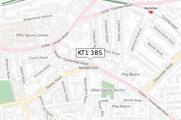
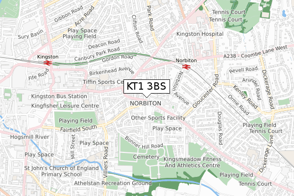
KT1 3BS maps


Source: OS Open Zoomstack (Ordnance Survey)
Licence: Open Government Licence (requires attribution)
Attribution: Contains OS data © Crown copyright and database right 2025
Source: Open Postcode GeoLicence: Open Government Licence (requires attribution)
Attribution: Contains OS data © Crown copyright and database right 2025; Contains Royal Mail data © Royal Mail copyright and database right 2025; Source: Office for National Statistics licensed under the Open Government Licence v.3.0
KT1 3BS geodata
| Easting | 519090 |
| Northing | 169273 |
| Latitude | 51.409983 |
| Longitude | -0.289053 |
Where is KT1 3BS?
| Country | England |
| Postcode District | KT1 |
Politics
| Ward | Norbiton |
|---|
| Constituency | Kingston And Surbiton |
|---|
Transport
Nearest bus stops to KT1 3BS
| Vicarage House (Cambridge Road) | Norbiton | 136m |
| Vicarage House (Cambridge Road) | Norbiton | 192m |
| Cambridge Grove (Cambridge Road) | Norbiton | 201m |
| Cambridge Grove (Cambridge Road) | Norbiton | 210m |
| Gordon Road (Kt2) | Norbiton | 212m |
Nearest railway stations to KT1 3BS
| Norbiton Station | 0.4km |
| Kingston Station | 0.9km |
| Berrylands Station | 1.3km |
Broadband
Broadband access in KT1 3BS (2020 data)
| Percentage of properties with Next Generation Access | 100.0% |
| Percentage of properties with Superfast Broadband | 100.0% |
| Percentage of properties with Ultrafast Broadband | 100.0% |
| Percentage of properties with Full Fibre Broadband | 0.0% |
Superfast Broadband is between 30Mbps and 300Mbps
Ultrafast Broadband is > 300Mbps
Broadband limitations in KT1 3BS (2020 data)
| Percentage of properties unable to receive 2Mbps | 0.0% |
| Percentage of properties unable to receive 5Mbps | 0.0% |
| Percentage of properties unable to receive 10Mbps | 0.0% |
| Percentage of properties unable to receive 30Mbps | 0.0% |
Deprivation
37.1% of English postcodes are less deprived than
KT1 3BS:
Food Standards Agency
Three nearest food hygiene ratings to KT1 3BS (metres)
Thames Superfoods
Best Kebab And Pizza
Shah'zzzzz Burger Kebbab & Pizza
➜ Get more ratings from the Food Standards Agency
Nearest post box to KT1 3BS
| | Last Collection | |
|---|
| Location | Mon-Fri | Sat | Distance |
|---|
| Cobham Road | 17:30 | 12:00 | 166m |
| Cambridge Gardens | 17:30 | 12:00 | 176m |
| Hawks Road Post Office | 17:45 | 12:00 | 193m |
KT1 3BS ITL and KT1 3BS LAU
The below table lists the International Territorial Level (ITL) codes (formerly Nomenclature of Territorial Units for Statistics (NUTS) codes) and Local Administrative Units (LAU) codes for KT1 3BS:
| ITL 1 Code | Name |
|---|
| TLI | London |
| ITL 2 Code | Name |
|---|
| TLI6 | Outer London - South |
| ITL 3 Code | Name |
|---|
| TLI63 | Merton, Kingston upon Thames and Sutton |
| LAU 1 Code | Name |
|---|
| E09000021 | Kingston upon Thames |
KT1 3BS census areas
The below table lists the Census Output Area (OA), Lower Layer Super Output Area (LSOA), and Middle Layer Super Output Area (MSOA) for KT1 3BS:
| Code | Name |
|---|
| OA | E00014964 | |
|---|
| LSOA | E01002972 | Kingston upon Thames 005D |
|---|
| MSOA | E02000602 | Kingston upon Thames 005 |
|---|
Nearest postcodes to KT1 3BS


