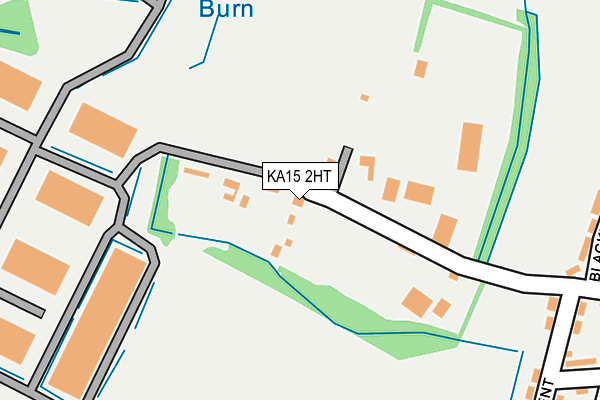
KA15 2HT is located in the Garnock Valley electoral ward, within the council area of North Ayrshire and the Scottish Parliamentary constituency of North Ayrshire and Arran. The Community Health Partnership is North Ayrshire Community Health Partnership and the police force is Scotland. This postcode has been in use since January 1980.


GetTheData
Source: OS OpenMap – Local (Ordnance Survey)
Source: OS VectorMap District (Ordnance Survey)
Licence: Open Government Licence (requires attribution)
| Easting | 234010 |
| Northing | 654150 |
| Latitude | 55.752165 |
| Longitude | -4.646385 |
GetTheData
Source: Open Postcode Geo
Licence: Open Government Licence
| Country | Scotland |
| Postcode District | KA15 |
➜ See where KA15 is on a map ➜ Where is Beith? | |
GetTheData
Source: Land Registry Price Paid Data
Licence: Open Government Licence
| Ward | Garnock Valley |
| Constituency | North Ayrshire And Arran |
GetTheData
Source: ONS Postcode Database
Licence: Open Government Licence
| Myrtle Bank (Hawthorn Crescent) | Beith | 316m |
| Mains Avenue (Mains Road) | Beith | 339m |
| Cedar Avenue (Meadowside) | Beith | 493m |
| Chestnut Avenue (Meadowside) | Beith | 493m |
| Elms Place (Mains Road) | Beith | 578m |
| Glengarnock Station | 2.3km |
| Lochwinnoch Station | 4.3km |
| Dalry Station | 6.5km |
GetTheData
Source: NaPTAN
Licence: Open Government Licence
GetTheData
Source: ONS Postcode Database
Licence: Open Government Licence


➜ Get more ratings from the Food Standards Agency
GetTheData
Source: Food Standards Agency
Licence: FSA terms & conditions
| Last Collection | |||
|---|---|---|---|
| Location | Mon-Fri | Sat | Distance |
| Longbar | 17:00 | 11:00 | 1,926m |
| Gateside | 17:30 | 10:15 | 2,367m |
| Post Office | 17:00 | 11:00 | 2,428m |
GetTheData
Source: Dracos
Licence: Creative Commons Attribution-ShareAlike
The below table lists the International Territorial Level (ITL) codes (formerly Nomenclature of Territorial Units for Statistics (NUTS) codes) and Local Administrative Units (LAU) codes for KA15 2HT:
| ITL 1 Code | Name |
|---|---|
| TLM | Scotland |
| ITL 2 Code | Name |
| TLM9 | Southern Scotland |
| ITL 3 Code | Name |
| TLM93 | East Ayrshire and North Ayrshire mainland |
| LAU 1 Code | Name |
| S30000018 | North Ayrshire mainland |
GetTheData
Source: ONS Postcode Directory
Licence: Open Government Licence
The below table lists the Census Output Area (OA), Lower Layer Super Output Area (LSOA), and Middle Layer Super Output Area (MSOA) for KA15 2HT:
| Code | Name | |
|---|---|---|
| OA | S00122633 | |
| LSOA | S01011348 | Beith West - 01 |
| MSOA | S02002133 | Beith West |
GetTheData
Source: ONS Postcode Directory
Licence: Open Government Licence