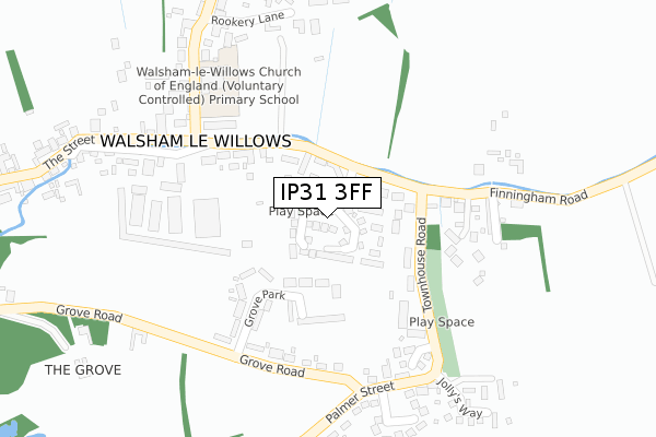
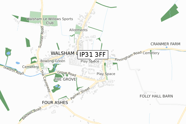
IP31 3FF is located in the Walsham-le-Willows electoral ward, within the local authority district of Mid Suffolk and the English Parliamentary constituency of Bury St Edmunds. The Sub Integrated Care Board (ICB) Location is NHS Suffolk and North East Essex ICB - 07K and the police force is Suffolk. This postcode has been in use since December 2019.


GetTheData
Source: OS Open Zoomstack (Ordnance Survey)
Licence: Open Government Licence (requires attribution)
Attribution: Contains OS data © Crown copyright and database right 2025
Source: Open Postcode Geo
Licence: Open Government Licence (requires attribution)
Attribution: Contains OS data © Crown copyright and database right 2025; Contains Royal Mail data © Royal Mail copyright and database right 2025; Source: Office for National Statistics licensed under the Open Government Licence v.3.0
| Easting | 599335 |
| Northing | 269337 |
| Latitude | 52.286023 |
| Longitude | 0.921120 |
GetTheData
Source: Open Postcode Geo
Licence: Open Government Licence
| Country | England |
| Postcode District | IP31 |
➜ See where IP31 is on a map ➜ Where is Badwell Ash? | |
GetTheData
Source: Land Registry Price Paid Data
Licence: Open Government Licence
| Ward | Walsham-le-willows |
| Constituency | Bury St Edmunds |
GetTheData
Source: ONS Postcode Database
Licence: Open Government Licence
| White Horse (The Street) | Badwell Ash | 338m |
| White Horse (The Street) | Badwell Ash | 345m |
| Shelter (Hunston Road) | Badwell Ash | 759m |
| Shelter (Hunston Road) | Badwell Ash | 759m |
| Four Ash Corner (Badwell Road) | Four Ashes | 1,522m |
GetTheData
Source: NaPTAN
Licence: Open Government Licence
GetTheData
Source: ONS Postcode Database
Licence: Open Government Licence


➜ Get more ratings from the Food Standards Agency
GetTheData
Source: Food Standards Agency
Licence: FSA terms & conditions
| Last Collection | |||
|---|---|---|---|
| Location | Mon-Fri | Sat | Distance |
| Hunston Green | 16:00 | 11:15 | 2,170m |
| St. George Road | 16:00 | 10:15 | 3,722m |
| Shepherds Grove | 16:15 | 11:15 | 4,075m |
GetTheData
Source: Dracos
Licence: Creative Commons Attribution-ShareAlike
The below table lists the International Territorial Level (ITL) codes (formerly Nomenclature of Territorial Units for Statistics (NUTS) codes) and Local Administrative Units (LAU) codes for IP31 3FF:
| ITL 1 Code | Name |
|---|---|
| TLH | East |
| ITL 2 Code | Name |
| TLH1 | East Anglia |
| ITL 3 Code | Name |
| TLH14 | Suffolk CC |
| LAU 1 Code | Name |
| E07000203 | Mid Suffolk |
GetTheData
Source: ONS Postcode Directory
Licence: Open Government Licence
The below table lists the Census Output Area (OA), Lower Layer Super Output Area (LSOA), and Middle Layer Super Output Area (MSOA) for IP31 3FF:
| Code | Name | |
|---|---|---|
| OA | E00153093 | |
| LSOA | E01030040 | Mid Suffolk 004A |
| MSOA | E02006264 | Mid Suffolk 004 |
GetTheData
Source: ONS Postcode Directory
Licence: Open Government Licence
| IP31 3DR | The Broadway | 66m |
| IP31 3DX | Ash Mead | 99m |
| IP31 3DT | Willow Close | 127m |
| IP31 3DP | The Street | 194m |
| IP31 3ER | Warren Close | 219m |
| IP31 3DW | Back Lane | 225m |
| IP31 3DS | Langham Road | 261m |
| IP31 3JL | Orchard Way | 359m |
| IP31 3DG | The Street | 390m |
| IP31 3LW | The Paddocks | 393m |
GetTheData
Source: Open Postcode Geo; Land Registry Price Paid Data
Licence: Open Government Licence