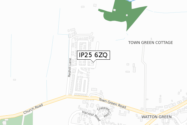
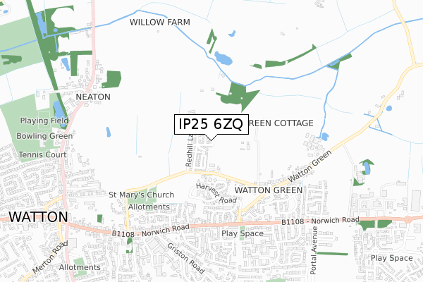
IP25 6ZQ is located in the Watton electoral ward, within the local authority district of Breckland and the English Parliamentary constituency of Mid Norfolk. The Sub Integrated Care Board (ICB) Location is NHS Norfolk and Waveney ICB - 26A and the police force is Norfolk. This postcode has been in use since July 2018.


GetTheData
Source: OS Open Zoomstack (Ordnance Survey)
Licence: Open Government Licence (requires attribution)
Attribution: Contains OS data © Crown copyright and database right 2025
Source: Open Postcode Geo
Licence: Open Government Licence (requires attribution)
Attribution: Contains OS data © Crown copyright and database right 2025; Contains Royal Mail data © Royal Mail copyright and database right 2025; Source: Office for National Statistics licensed under the Open Government Licence v.3.0
| Easting | 592610 |
| Northing | 301258 |
| Latitude | 52.575043 |
| Longitude | 0.841029 |
GetTheData
Source: Open Postcode Geo
Licence: Open Government Licence
| Country | England |
| Postcode District | IP25 |
➜ See where IP25 is on a map ➜ Where is Watton? | |
GetTheData
Source: Land Registry Price Paid Data
Licence: Open Government Licence
| Ward | Watton |
| Constituency | Mid Norfolk |
GetTheData
Source: ONS Postcode Database
Licence: Open Government Licence
| Blenheim Way (Norwich Road) | Watton | 479m |
| Blenheim Way (Norwich Road) | Watton | 500m |
| Lovell Gardens (Norwich Road) | Watton | 559m |
| Lovell Gardens (Norwich Road) | Watton | 576m |
| Griston Road (Norwich Road) | Watton | 597m |
GetTheData
Source: NaPTAN
Licence: Open Government Licence
| Percentage of properties with Next Generation Access | 100.0% |
| Percentage of properties with Superfast Broadband | 100.0% |
| Percentage of properties with Ultrafast Broadband | 100.0% |
| Percentage of properties with Full Fibre Broadband | 100.0% |
Superfast Broadband is between 30Mbps and 300Mbps
Ultrafast Broadband is > 300Mbps
| Percentage of properties unable to receive 2Mbps | 0.0% |
| Percentage of properties unable to receive 5Mbps | 0.0% |
| Percentage of properties unable to receive 10Mbps | 0.0% |
| Percentage of properties unable to receive 30Mbps | 0.0% |
GetTheData
Source: Ofcom
Licence: Ofcom Terms of Use (requires attribution)
GetTheData
Source: ONS Postcode Database
Licence: Open Government Licence


➜ Get more ratings from the Food Standards Agency
GetTheData
Source: Food Standards Agency
Licence: FSA terms & conditions
| Last Collection | |||
|---|---|---|---|
| Location | Mon-Fri | Sat | Distance |
| Watton Green | 16:30 | 09:00 | 482m |
| Lovell Gardfens | 16:45 | 10:15 | 623m |
| Norwich Road Industrial Estate | 16:45 | 10:15 | 656m |
GetTheData
Source: Dracos
Licence: Creative Commons Attribution-ShareAlike
The below table lists the International Territorial Level (ITL) codes (formerly Nomenclature of Territorial Units for Statistics (NUTS) codes) and Local Administrative Units (LAU) codes for IP25 6ZQ:
| ITL 1 Code | Name |
|---|---|
| TLH | East |
| ITL 2 Code | Name |
| TLH1 | East Anglia |
| ITL 3 Code | Name |
| TLH17 | Breckland and South Norfolk |
| LAU 1 Code | Name |
| E07000143 | Breckland |
GetTheData
Source: ONS Postcode Directory
Licence: Open Government Licence
The below table lists the Census Output Area (OA), Lower Layer Super Output Area (LSOA), and Middle Layer Super Output Area (MSOA) for IP25 6ZQ:
| Code | Name | |
|---|---|---|
| OA | E00134605 | |
| LSOA | E01026487 | Breckland 009B |
| MSOA | E02005511 | Breckland 009 |
GetTheData
Source: ONS Postcode Directory
Licence: Open Government Licence
| IP25 6RE | Redhill Lane | 75m |
| IP25 6RD | Town Green Road | 323m |
| IP25 6XS | Blenheim Way | 427m |
| IP25 6XZ | Forman Close | 448m |
| IP25 6YP | The Stables | 487m |
| IP25 6HG | Bluebell Close | 492m |
| IP25 6HL | Hunters Oak | 507m |
| IP25 6YE | Farrier Road | 509m |
| IP25 6DW | Norwich Road | 526m |
| IP25 6YA | Saddlers Drive | 562m |
GetTheData
Source: Open Postcode Geo; Land Registry Price Paid Data
Licence: Open Government Licence