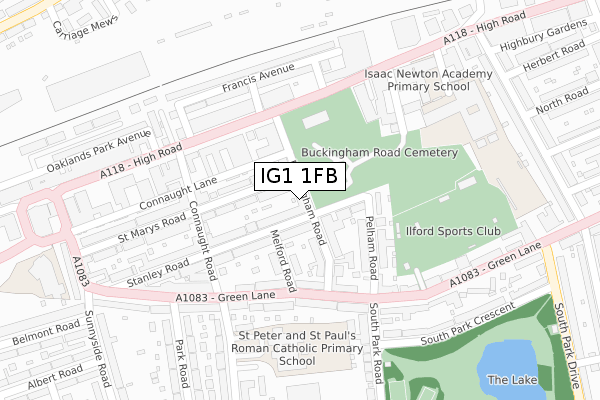
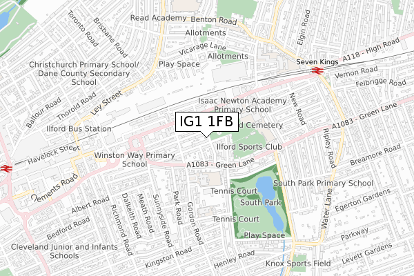
IG1 1FB is located in the Ilford Town electoral ward, within the London borough of Redbridge and the English Parliamentary constituency of Ilford South. The Sub Integrated Care Board (ICB) Location is NHS North East London ICB - A3A8R and the police force is Metropolitan Police. This postcode has been in use since October 2017.


GetTheData
Source: OS Open Zoomstack (Ordnance Survey)
Licence: Open Government Licence (requires attribution)
Attribution: Contains OS data © Crown copyright and database right 2025
Source: Open Postcode Geo
Licence: Open Government Licence (requires attribution)
Attribution: Contains OS data © Crown copyright and database right 2025; Contains Royal Mail data © Royal Mail copyright and database right 2025; Source: Office for National Statistics licensed under the Open Government Licence v.3.0
| Easting | 544795 |
| Northing | 186680 |
| Latitude | 51.560421 |
| Longitude | 0.087439 |
GetTheData
Source: Open Postcode Geo
Licence: Open Government Licence
| Country | England |
| Postcode District | IG1 |
➜ See where IG1 is on a map ➜ Where is Ilford? | |
GetTheData
Source: Land Registry Price Paid Data
Licence: Open Government Licence
| Ward | Ilford Town |
| Constituency | Ilford South |
GetTheData
Source: ONS Postcode Database
Licence: Open Government Licence
| Buckingham Road Ilford | Ilford | 154m |
| Ilford County Court | Ilford | 171m |
| Connaught Road Seven Kings | Ilford | 182m |
| Gordon Road (Green Lane) | Ilford | 191m |
| Ilford Fire Station (High Road) | Ilford | 254m |
| Seven Kings Station | 0.8km |
| Ilford Station | 1.2km |
| Goodmayes Station | 1.7km |
GetTheData
Source: NaPTAN
Licence: Open Government Licence
| Percentage of properties with Next Generation Access | 100.0% |
| Percentage of properties with Superfast Broadband | 100.0% |
| Percentage of properties with Ultrafast Broadband | 100.0% |
| Percentage of properties with Full Fibre Broadband | 0.0% |
Superfast Broadband is between 30Mbps and 300Mbps
Ultrafast Broadband is > 300Mbps
| Percentage of properties unable to receive 2Mbps | 0.0% |
| Percentage of properties unable to receive 5Mbps | 0.0% |
| Percentage of properties unable to receive 10Mbps | 0.0% |
| Percentage of properties unable to receive 30Mbps | 0.0% |
GetTheData
Source: Ofcom
Licence: Ofcom Terms of Use (requires attribution)
GetTheData
Source: ONS Postcode Database
Licence: Open Government Licence


➜ Get more ratings from the Food Standards Agency
GetTheData
Source: Food Standards Agency
Licence: FSA terms & conditions
| Last Collection | |||
|---|---|---|---|
| Location | Mon-Fri | Sat | Distance |
| South Park Road | 17:30 | 12:45 | 266m |
| Park Road | 17:30 | 12:30 | 266m |
| Cauliflower | 18:30 | 12:45 | 420m |
GetTheData
Source: Dracos
Licence: Creative Commons Attribution-ShareAlike
The below table lists the International Territorial Level (ITL) codes (formerly Nomenclature of Territorial Units for Statistics (NUTS) codes) and Local Administrative Units (LAU) codes for IG1 1FB:
| ITL 1 Code | Name |
|---|---|
| TLI | London |
| ITL 2 Code | Name |
| TLI5 | Outer London - East and North East |
| ITL 3 Code | Name |
| TLI53 | Redbridge and Waltham Forest |
| LAU 1 Code | Name |
| E09000026 | Redbridge |
GetTheData
Source: ONS Postcode Directory
Licence: Open Government Licence
The below table lists the Census Output Area (OA), Lower Layer Super Output Area (LSOA), and Middle Layer Super Output Area (MSOA) for IG1 1FB:
| Code | Name | |
|---|---|---|
| OA | E00018545 | |
| LSOA | E01033591 | Redbridge 030I |
| MSOA | E02000780 | Redbridge 030 |
GetTheData
Source: ONS Postcode Directory
Licence: Open Government Licence
| IG1 1RQ | Stanley Road | 28m |
| IG1 1RB | Stanley Road | 81m |
| IG1 1QY | St Marys Road | 82m |
| IG1 1RG | Buckingham Road | 104m |
| IG1 1RH | Melford Road | 119m |
| IG1 1RE | Pelham Road | 128m |
| IG1 1TW | High Road | 132m |
| IG1 1RF | Pelham Road | 132m |
| IG1 1RJ | Stanley Road | 133m |
| IG1 1XL | Green Lane | 145m |
GetTheData
Source: Open Postcode Geo; Land Registry Price Paid Data
Licence: Open Government Licence