HU7 4JY maps, stats, and open data
- Home
- Postcode
- HU
- HU7
- HU7 4
HU7 4JY is located in the Sutton electoral ward, within the unitary authority of Kingston upon Hull, City of and the English Parliamentary constituency of Kingston upon Hull East. The Sub Integrated Care Board (ICB) Location is NHS Humber and North Yorkshire ICB - 03F and the police force is Humberside. This postcode has been in use since October 2017.
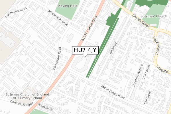
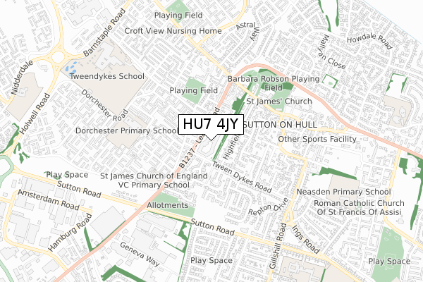
HU7 4JY maps


Source: OS Open Zoomstack (Ordnance Survey)
Licence: Open Government Licence (requires attribution)
Attribution: Contains OS data © Crown copyright and database right 2025
Source: Open Postcode GeoLicence: Open Government Licence (requires attribution)
Attribution: Contains OS data © Crown copyright and database right 2025; Contains Royal Mail data © Royal Mail copyright and database right 2025; Source: Office for National Statistics licensed under the Open Government Licence v.3.0
HU7 4JY geodata
| Easting | 511415 |
| Northing | 432763 |
| Latitude | 53.779305 |
| Longitude | -0.310688 |
Where is HU7 4JY?
| Country | England |
| Postcode District | HU7 |
Politics
| Ward | Sutton |
|---|
| Constituency | Kingston Upon Hull East |
|---|
Transport
Nearest bus stops to HU7 4JY
| Leads Road | Bransholme | 79m |
| Leads Road | Bransholme | 101m |
| Midmere Primary School (Midmere Avenue) | Bransholme | 165m |
| Truro Close (Leads Road) | Bransholme | 208m |
| Wareham Close (Dorchester Road) | Bransholme | 221m |
Nearest railway stations to HU7 4JY
Broadband
Broadband access in HU7 4JY (2020 data)
| Percentage of properties with Next Generation Access | 100.0% |
| Percentage of properties with Superfast Broadband | 100.0% |
| Percentage of properties with Ultrafast Broadband | 100.0% |
| Percentage of properties with Full Fibre Broadband | 100.0% |
Superfast Broadband is between 30Mbps and 300Mbps
Ultrafast Broadband is > 300Mbps
Broadband speed in HU7 4JY (2019 data)
Download
| Median download speed | 30.0Mbps |
| Average download speed | 79.6Mbps |
| Maximum download speed | 400.00Mbps |
Upload
| Median upload speed | 1.0Mbps |
| Average upload speed | 5.9Mbps |
| Maximum upload speed | 30.00Mbps |
Broadband limitations in HU7 4JY (2020 data)
| Percentage of properties unable to receive 2Mbps | 0.0% |
| Percentage of properties unable to receive 5Mbps | 0.0% |
| Percentage of properties unable to receive 10Mbps | 0.0% |
| Percentage of properties unable to receive 30Mbps | 0.0% |
Deprivation
80.1% of English postcodes are less deprived than
HU7 4JY:
Food Standards Agency
Three nearest food hygiene ratings to HU7 4JY (metres)
Hull City Council Facilities @ Redwood Glades
Hutchison Catering @ St James CE Academy
St James C E Primary Academy
151m
Tiptoes Day Nursery
➜ Get more ratings from the Food Standards Agency
Nearest post box to HU7 4JY
| | Last Collection | |
|---|
| Location | Mon-Fri | Sat | Distance |
|---|
| 96-98 Church St Sutton On Hull | 16:45 | 11:00 | 400m |
| Midmere Avenue Hull | 17:15 | 12:00 | 447m |
| Lowgate Sutton | 16:45 | 11:00 | 499m |
HU7 4JY ITL and HU7 4JY LAU
The below table lists the International Territorial Level (ITL) codes (formerly Nomenclature of Territorial Units for Statistics (NUTS) codes) and Local Administrative Units (LAU) codes for HU7 4JY:
| ITL 1 Code | Name |
|---|
| TLE | Yorkshire and The Humber |
| ITL 2 Code | Name |
|---|
| TLE1 | East Yorkshire and Northern Lincolnshire |
| ITL 3 Code | Name |
|---|
| TLE11 | Kingston upon Hull, City of |
| LAU 1 Code | Name |
|---|
| E06000010 | Kingston upon Hull, City of |
HU7 4JY census areas
The below table lists the Census Output Area (OA), Lower Layer Super Output Area (LSOA), and Middle Layer Super Output Area (MSOA) for HU7 4JY:
| Code | Name |
|---|
| OA | E00065117 | |
|---|
| LSOA | E01012907 | Kingston upon Hull 007C |
|---|
| MSOA | E02002658 | Kingston upon Hull 007 |
|---|
Nearest postcodes to HU7 4JY


