HU18 1FA maps, stats, and open data
HU18 1FA is located in the North Holderness electoral ward, within the unitary authority of East Riding of Yorkshire and the English Parliamentary constituency of Beverley and Holderness. The Sub Integrated Care Board (ICB) Location is NHS Humber and North Yorkshire ICB - 02Y and the police force is Humberside. This postcode has been in use since November 2018.
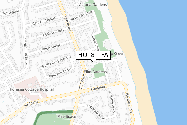
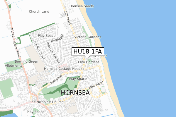
HU18 1FA maps


Licence: Open Government Licence (requires attribution)
Attribution: Contains OS data © Crown copyright and database right 2025
Source: Open Postcode Geo
Licence: Open Government Licence (requires attribution)
Attribution: Contains OS data © Crown copyright and database right 2025; Contains Royal Mail data © Royal Mail copyright and database right 2025; Source: Office for National Statistics licensed under the Open Government Licence v.3.0
HU18 1FA geodata
| Easting | 520673 |
| Northing | 448270 |
| Latitude | 53.916549 |
| Longitude | -0.164184 |
Where is HU18 1FA?
| Country | England |
| Postcode District | HU18 |
Politics
| Ward | North Holderness |
|---|---|
| Constituency | Beverley And Holderness |
House Prices
Sales of detached houses in HU18 1FA
2017 16 JUN £313,880 |
2011 10 JUN £200,000 |
Licence: Contains HM Land Registry data © Crown copyright and database right 2025. This data is licensed under the Open Government Licence v3.0.
Transport
Nearest bus stops to HU18 1FA
| Hornsea Hartley Street (Hartley Street) | Hornsea | 66m |
| Hornsea Esplanade (Esplanade) | Hornsea | 67m |
| Hornsea Cliff Road (Cliff Road) | Hornsea | 142m |
| Hornsea Marine Drive (Marine Drive) | Hornsea | 204m |
| Hornsea Cliff Road (Cliff Road) | Hornsea | 250m |
Broadband
Broadband access in HU18 1FA (2020 data)
| Percentage of properties with Next Generation Access | 100.0% |
| Percentage of properties with Superfast Broadband | 100.0% |
| Percentage of properties with Ultrafast Broadband | 0.0% |
| Percentage of properties with Full Fibre Broadband | 0.0% |
Superfast Broadband is between 30Mbps and 300Mbps
Ultrafast Broadband is > 300Mbps
Broadband limitations in HU18 1FA (2020 data)
| Percentage of properties unable to receive 2Mbps | 0.0% |
| Percentage of properties unable to receive 5Mbps | 0.0% |
| Percentage of properties unable to receive 10Mbps | 0.0% |
| Percentage of properties unable to receive 30Mbps | 0.0% |
Deprivation
66.1% of English postcodes are less deprived than HU18 1FA:Food Standards Agency
Three nearest food hygiene ratings to HU18 1FA (metres)


➜ Get more ratings from the Food Standards Agency
Nearest post box to HU18 1FA
| Last Collection | |||
|---|---|---|---|
| Location | Mon-Fri | Sat | Distance |
| Cliff Road | 16:30 | 11:30 | 182m |
| Seaton Post Office | 16:45 | 11:00 | 4,607m |
| Wassand Hall | 16:45 | 11:15 | 5,337m |
HU18 1FA ITL and HU18 1FA LAU
The below table lists the International Territorial Level (ITL) codes (formerly Nomenclature of Territorial Units for Statistics (NUTS) codes) and Local Administrative Units (LAU) codes for HU18 1FA:
| ITL 1 Code | Name |
|---|---|
| TLE | Yorkshire and The Humber |
| ITL 2 Code | Name |
| TLE1 | East Yorkshire and Northern Lincolnshire |
| ITL 3 Code | Name |
| TLE12 | East Riding of Yorkshire |
| LAU 1 Code | Name |
| E06000011 | East Riding of Yorkshire |
HU18 1FA census areas
The below table lists the Census Output Area (OA), Lower Layer Super Output Area (LSOA), and Middle Layer Super Output Area (MSOA) for HU18 1FA:
| Code | Name | |
|---|---|---|
| OA | E00065844 | |
| LSOA | E01013047 | East Riding of Yorkshire 012B |
| MSOA | E02002695 | East Riding of Yorkshire 012 |
Nearest postcodes to HU18 1FA
| HU18 1LZ | Cliff Road | 41m |
| HU18 1NG | Promenade Villas | 64m |
| HU18 1NF | Headland View | 86m |
| HU18 1LS | Cliff Road | 91m |
| HU18 1LY | Hartley Street | 92m |
| HU18 1NQ | Esplanade | 103m |
| HU18 1NE | Esplanade | 105m |
| HU18 1NB | Eastgate | 124m |
| HU18 1LT | Hall Road | 126m |
| HU18 1NH | Victoria Avenue | 126m |