HR4 7EP maps, stats, and open data
HR4 7EP is located in the Credenhill electoral ward, within the unitary authority of Herefordshire, County of and the English Parliamentary constituency of North Herefordshire. The Sub Integrated Care Board (ICB) Location is NHS Herefordshire and Worcestershire ICB - 18C and the police force is West Mercia. This postcode has been in use since June 2019.
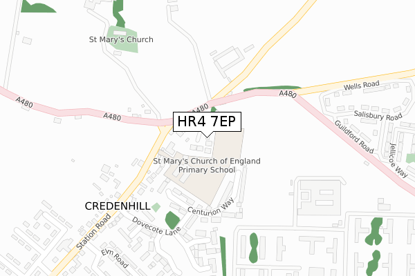
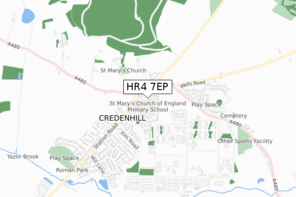
HR4 7EP maps


Licence: Open Government Licence (requires attribution)
Attribution: Contains OS data © Crown copyright and database right 2025
Source: Open Postcode Geo
Licence: Open Government Licence (requires attribution)
Attribution: Contains OS data © Crown copyright and database right 2025; Contains Royal Mail data © Royal Mail copyright and database right 2025; Source: Office for National Statistics licensed under the Open Government Licence v.3.0
HR4 7EP geodata
| Easting | 345243 |
| Northing | 243630 |
| Latitude | 52.088305 |
| Longitude | -2.800591 |
Where is HR4 7EP?
| Country | England |
| Postcode District | HR4 |
Politics
| Ward | Credenhill |
|---|---|
| Constituency | North Herefordshire |
House Prices
Sales of detached houses in HR4 7EP
2022 15 AUG £425,000 |
1, BANNUT TREE CLOSE, CREDENHILL, HEREFORD, HR4 7EP 2020 15 JAN £400,000 |
2020 14 JAN £295,000 |
5, BANNUT TREE CLOSE, CREDENHILL, HEREFORD, HR4 7EP 2019 29 NOV £285,000 |
8, BANNUT TREE CLOSE, CREDENHILL, HEREFORD, HR4 7EP 2019 21 OCT £285,000 |
2019 3 OCT £350,000 |
7, BANNUT TREE CLOSE, CREDENHILL, HEREFORD, HR4 7EP 2019 24 SEP £285,000 |
3, BANNUT TREE CLOSE, CREDENHILL, HEREFORD, HR4 7EP 2019 27 AUG £340,000 |
Licence: Contains HM Land Registry data © Crown copyright and database right 2025. This data is licensed under the Open Government Licence v3.0.
Transport
Nearest bus stops to HR4 7EP
| Tree (A480) | Credenhill | 71m |
| Tree (A480) | Credenhill | 82m |
| St Mary's School (Station Road) | Credenhill | 114m |
| Post Office (Station Road) | Credenhill | 296m |
| Post Office (Station Road. Credenhill) | Credenhill | 298m |
Broadband
Broadband access in HR4 7EP (2020 data)
| Percentage of properties with Next Generation Access | 100.0% |
| Percentage of properties with Superfast Broadband | 100.0% |
| Percentage of properties with Ultrafast Broadband | 0.0% |
| Percentage of properties with Full Fibre Broadband | 0.0% |
Superfast Broadband is between 30Mbps and 300Mbps
Ultrafast Broadband is > 300Mbps
Broadband limitations in HR4 7EP (2020 data)
| Percentage of properties unable to receive 2Mbps | 0.0% |
| Percentage of properties unable to receive 5Mbps | 0.0% |
| Percentage of properties unable to receive 10Mbps | 0.0% |
| Percentage of properties unable to receive 30Mbps | 0.0% |
Deprivation
33.1% of English postcodes are less deprived than HR4 7EP:Food Standards Agency
Three nearest food hygiene ratings to HR4 7EP (metres)


➜ Get more ratings from the Food Standards Agency
Nearest post box to HR4 7EP
| Last Collection | |||
|---|---|---|---|
| Location | Mon-Fri | Sat | Distance |
| Lower Eaton | 16:15 | 09:30 | 3,648m |
| Ruckhall Common | 16:30 | 08:45 | 4,281m |
| Lyde | 17:00 | 07:45 | 4,304m |
HR4 7EP ITL and HR4 7EP LAU
The below table lists the International Territorial Level (ITL) codes (formerly Nomenclature of Territorial Units for Statistics (NUTS) codes) and Local Administrative Units (LAU) codes for HR4 7EP:
| ITL 1 Code | Name |
|---|---|
| TLG | West Midlands (England) |
| ITL 2 Code | Name |
| TLG1 | Herefordshire, Worcestershire and Warwickshire |
| ITL 3 Code | Name |
| TLG11 | Herefordshire, County of |
| LAU 1 Code | Name |
| E06000019 | Herefordshire, County of |
HR4 7EP census areas
The below table lists the Census Output Area (OA), Lower Layer Super Output Area (LSOA), and Middle Layer Super Output Area (MSOA) for HR4 7EP:
| Code | Name | |
|---|---|---|
| OA | E00168536 | |
| LSOA | E01014013 | Herefordshire 007C |
| MSOA | E02002911 | Herefordshire 007 |
Nearest postcodes to HR4 7EP
| HR4 7DJ | 90m | |
| HR4 7FF | Centurion Way | 168m |
| HR4 7FA | Dovecote Lane | 242m |
| HR4 7FE | Willow Close | 254m |
| HR4 7DW | Station Road | 256m |
| HR4 7FD | Hillside View | 294m |
| HR4 7DL | 298m | |
| HR4 7ER | Heritage Drive | 311m |
| HR4 7FB | Magnis Close | 322m |
| HR4 7DP | Elm Road | 361m |