HP19 8JX maps, stats, and open data
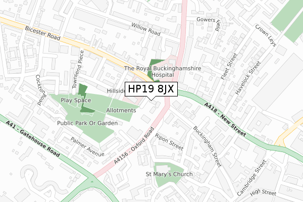
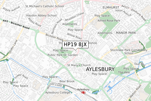
HP19 8JX is located in the Aylesbury North West electoral ward, within the unitary authority of Buckinghamshire and the English Parliamentary constituency of Aylesbury. The Sub Integrated Care Board (ICB) Location is NHS Buckinghamshire, Oxfordshire and Berkshire West ICB - 14Y and the police force is Thames Valley. This postcode has been in use since October 2019.
HP19 8JX maps


Licence: Open Government Licence (requires attribution)
Attribution: Contains OS data © Crown copyright and database right 2025
Source: Open Postcode Geo
Licence: Open Government Licence (requires attribution)
Attribution: Contains OS data © Crown copyright and database right 2025; Contains Royal Mail data © Royal Mail copyright and database right 2025; Source: Office for National Statistics licensed under the Open Government Licence v.3.0
HP19 8JX geodata
| Easting | 481668 |
| Northing | 214140 |
| Latitude | 51.819935 |
| Longitude | -0.816525 |
Where is HP19 8JX?
| Country | England |
| Postcode District | HP19 |
Politics
| Ward | Aylesbury North West |
|---|---|
| Constituency | Aylesbury |
Transport
Nearest bus stops to HP19 8JX
| Royal Bucks Hospital (Bicester Road) | Aylesbury | 53m |
| Royal Bucks Hospital (Bicester Road) | Aylesbury | 62m |
| White Hill (Oxford Road) | Aylesbury | 86m |
| The Britannia Ph (Buckingham Road) | Aylesbury | 119m |
| The Britannia Ph (Buckingham Road) | Aylesbury | 125m |
Nearest railway stations to HP19 8JX
| Aylesbury Station | 0.7km |
| Aylesbury Vale Parkway Station | 3.3km |
| Stoke Mandeville Station | 4.2km |
Deprivation
68.5% of English postcodes are less deprived than HP19 8JX:Food Standards Agency
Three nearest food hygiene ratings to HP19 8JX (metres)


➜ Get more ratings from the Food Standards Agency
Nearest post box to HP19 8JX
| Last Collection | |||
|---|---|---|---|
| Location | Mon-Fri | Sat | Distance |
| Buckingham Street P.o. | 16:15 | 12:00 | 83m |
| Buckingham Road | 16:30 | 12:00 | 260m |
| Bicester Road | 17:00 | 12:00 | 324m |
HP19 8JX ITL and HP19 8JX LAU
The below table lists the International Territorial Level (ITL) codes (formerly Nomenclature of Territorial Units for Statistics (NUTS) codes) and Local Administrative Units (LAU) codes for HP19 8JX:
| ITL 1 Code | Name |
|---|---|
| TLJ | South East (England) |
| ITL 2 Code | Name |
| TLJ1 | Berkshire, Buckinghamshire and Oxfordshire |
| ITL 3 Code | Name |
| TLJ13 | Buckinghamshire |
| LAU 1 Code | Name |
| E06000060 | Buckinghamshire |
HP19 8JX census areas
The below table lists the Census Output Area (OA), Lower Layer Super Output Area (LSOA), and Middle Layer Super Output Area (MSOA) for HP19 8JX:
| Code | Name | |
|---|---|---|
| OA | E00089179 | |
| LSOA | E01017666 | Aylesbury Vale 013B |
| MSOA | E02003664 | Aylesbury Vale 013 |
Nearest postcodes to HP19 8JX
| HP19 8AA | Ardenham Lane | 13m |
| HP19 8FQ | Oxford Road | 61m |
| HP19 8AB | Ardenham Lane | 63m |
| HP19 8AQ | Mount Pleasant | 105m |
| HP20 2NE | Buckingham Street | 106m |
| HP20 2LL | Buckingham Street | 119m |
| HP20 2NF | Buckingham Street | 119m |
| HP20 2JW | Whitehall Street | 129m |
| HP20 2JP | Ripon Street | 140m |
| HP19 8AD | Bicester Road | 144m |