HP19 7BT maps, stats, and open data
HP19 7BT is located in the Aylesbury North West electoral ward, within the unitary authority of Buckinghamshire and the English Parliamentary constituency of Buckingham. The Sub Integrated Care Board (ICB) Location is NHS Buckinghamshire, Oxfordshire and Berkshire West ICB - 14Y and the police force is Thames Valley. This postcode has been in use since November 2017.
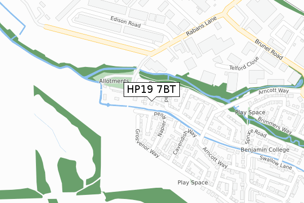
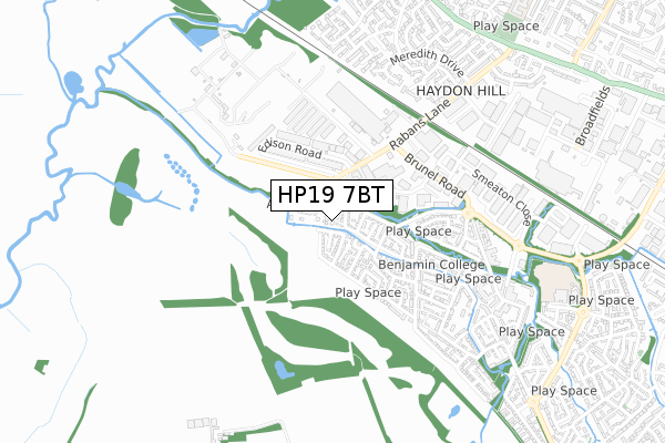
HP19 7BT maps


Licence: Open Government Licence (requires attribution)
Attribution: Contains OS data © Crown copyright and database right 2025
Source: Open Postcode Geo
Licence: Open Government Licence (requires attribution)
Attribution: Contains OS data © Crown copyright and database right 2025; Contains Royal Mail data © Royal Mail copyright and database right 2025; Source: Office for National Statistics licensed under the Open Government Licence v.3.0
HP19 7BT geodata
| Easting | 479430 |
| Northing | 214114 |
| Latitude | 51.820023 |
| Longitude | -0.848994 |
Where is HP19 7BT?
| Country | England |
| Postcode District | HP19 |
Politics
| Ward | Aylesbury North West |
|---|---|
| Constituency | Buckingham |
House Prices
Sales of detached houses in HP19 7BT
4, LONDON CLOSE, HARTWELL, AYLESBURY, HP19 7BT 2017 27 OCT £400,000 |
1, LONDON CLOSE, HARTWELL, AYLESBURY, HP19 7BT 2017 20 OCT £400,000 |
Licence: Contains HM Land Registry data © Crown copyright and database right 2025. This data is licensed under the Open Government Licence v3.0.
Transport
Nearest bus stops to HP19 7BT
| Spruce Road (Arncott Way) | Fairford Leys | 187m |
| Bessemer Crescent (Rabans Lane) | Aylesbury | 213m |
| Edison Road East (Edison Road) | Aylesbury | 240m |
| Cuckoo Way (Arncott Way) | Fairford Leys | 269m |
| Arncott Way | Fairford Leys | 297m |
Nearest railway stations to HP19 7BT
| Aylesbury Vale Parkway Station | 1.5km |
| Aylesbury Station | 2.4km |
| Stoke Mandeville Station | 5.7km |
Broadband
Broadband access in HP19 7BT (2020 data)
| Percentage of properties with Next Generation Access | 100.0% |
| Percentage of properties with Superfast Broadband | 100.0% |
| Percentage of properties with Ultrafast Broadband | 0.0% |
| Percentage of properties with Full Fibre Broadband | 0.0% |
Superfast Broadband is between 30Mbps and 300Mbps
Ultrafast Broadband is > 300Mbps
Broadband limitations in HP19 7BT (2020 data)
| Percentage of properties unable to receive 2Mbps | 0.0% |
| Percentage of properties unable to receive 5Mbps | 0.0% |
| Percentage of properties unable to receive 10Mbps | 0.0% |
| Percentage of properties unable to receive 30Mbps | 0.0% |
Deprivation
13.1% of English postcodes are less deprived than HP19 7BT:Food Standards Agency
Three nearest food hygiene ratings to HP19 7BT (metres)


➜ Get more ratings from the Food Standards Agency
Nearest post box to HP19 7BT
| Last Collection | |||
|---|---|---|---|
| Location | Mon-Fri | Sat | Distance |
| Edison Close | 18:15 | 12:00 | 374m |
| Hampden Square | 17:00 | 12:00 | 716m |
| Picasso Place | 17:15 | 12:00 | 752m |
HP19 7BT ITL and HP19 7BT LAU
The below table lists the International Territorial Level (ITL) codes (formerly Nomenclature of Territorial Units for Statistics (NUTS) codes) and Local Administrative Units (LAU) codes for HP19 7BT:
| ITL 1 Code | Name |
|---|---|
| TLJ | South East (England) |
| ITL 2 Code | Name |
| TLJ1 | Berkshire, Buckinghamshire and Oxfordshire |
| ITL 3 Code | Name |
| TLJ13 | Buckinghamshire |
| LAU 1 Code | Name |
| E06000060 | Buckinghamshire |
HP19 7BT census areas
The below table lists the Census Output Area (OA), Lower Layer Super Output Area (LSOA), and Middle Layer Super Output Area (MSOA) for HP19 7BT:
| Code | Name | |
|---|---|---|
| OA | E00089238 | |
| LSOA | E01017678 | Aylesbury Vale 022D |
| MSOA | E02003673 | Aylesbury Vale 022 |
Nearest postcodes to HP19 7BT
| HP19 7BG | Chelsea Road | 62m |
| HP19 7BS | Napier Road | 87m |
| HP19 7BL | Hudson Mews | 89m |
| HP19 7BN | Callaway Path | 100m |
| HP19 7BE | Grosvenor Way | 112m |
| HP19 7BJ | Paddock Close | 128m |
| HP19 7BH | Bedlington Mews | 147m |
| HP19 7BQ | Hampstead Close | 161m |
| HP19 7BD | Cavendish Way | 181m |
| HP19 7AY | Napier Road | 192m |