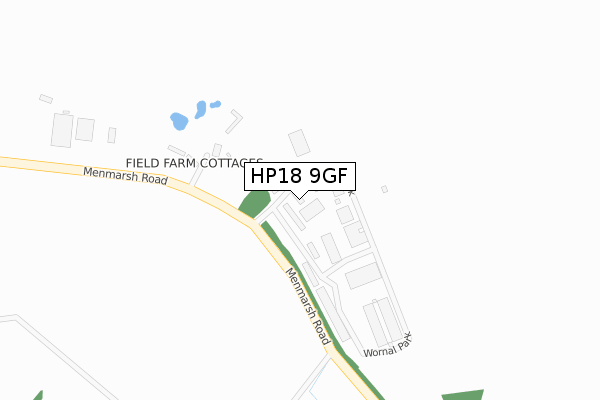
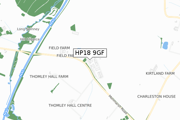
HP18 9GF is located in the Bernwood electoral ward, within the unitary authority of Buckinghamshire and the English Parliamentary constituency of Buckingham. The Sub Integrated Care Board (ICB) Location is NHS Buckinghamshire, Oxfordshire and Berkshire West ICB - 14Y and the police force is Thames Valley. This postcode has been in use since August 2019.


GetTheData
Source: OS Open Zoomstack (Ordnance Survey)
Licence: Open Government Licence (requires attribution)
Attribution: Contains OS data © Crown copyright and database right 2025
Source: Open Postcode Geo
Licence: Open Government Licence (requires attribution)
Attribution: Contains OS data © Crown copyright and database right 2025; Contains Royal Mail data © Royal Mail copyright and database right 2025; Source: Office for National Statistics licensed under the Open Government Licence v.3.0
| Easting | 463409 |
| Northing | 209546 |
| Latitude | 51.781001 |
| Longitude | -1.082229 |
GetTheData
Source: Open Postcode Geo
Licence: Open Government Licence
| Country | England |
| Postcode District | HP18 |
➜ See where HP18 is on a map | |
GetTheData
Source: Land Registry Price Paid Data
Licence: Open Government Licence
| Ward | Bernwood |
| Constituency | Buckingham |
GetTheData
Source: ONS Postcode Database
Licence: Open Government Licence
| The Avenue (Clifden Road) | Worminghall | 1,258m |
| The Avenue (Clifden Road) | Worminghall | 1,284m |
| The Clifden Arms Ph (Clifden Rd) | Worminghall | 1,395m |
| The Clifden Arms Ph (Waterperry Rd) | Worminghall | 1,409m |
GetTheData
Source: NaPTAN
Licence: Open Government Licence
GetTheData
Source: ONS Postcode Database
Licence: Open Government Licence


➜ Get more ratings from the Food Standards Agency
GetTheData
Source: Food Standards Agency
Licence: FSA terms & conditions
| Last Collection | |||
|---|---|---|---|
| Location | Mon-Fri | Sat | Distance |
| Worminghall P.o. | 15:00 | 09:30 | 1,380m |
| The Avenue | 15:00 | 09:30 | 1,558m |
| Worminghall Road | 15:15 | 10:15 | 2,507m |
GetTheData
Source: Dracos
Licence: Creative Commons Attribution-ShareAlike
The below table lists the International Territorial Level (ITL) codes (formerly Nomenclature of Territorial Units for Statistics (NUTS) codes) and Local Administrative Units (LAU) codes for HP18 9GF:
| ITL 1 Code | Name |
|---|---|
| TLJ | South East (England) |
| ITL 2 Code | Name |
| TLJ1 | Berkshire, Buckinghamshire and Oxfordshire |
| ITL 3 Code | Name |
| TLJ13 | Buckinghamshire |
| LAU 1 Code | Name |
| E06000060 | Buckinghamshire |
GetTheData
Source: ONS Postcode Directory
Licence: Open Government Licence
The below table lists the Census Output Area (OA), Lower Layer Super Output Area (LSOA), and Middle Layer Super Output Area (MSOA) for HP18 9GF:
| Code | Name | |
|---|---|---|
| OA | E00089256 | |
| LSOA | E01017683 | Aylesbury Vale 023C |
| MSOA | E02003674 | Aylesbury Vale 023 |
GetTheData
Source: ONS Postcode Directory
Licence: Open Government Licence
| HP18 9PH | Wornal Park | 95m |
| HP18 9JX | Menmarsh Road | 161m |
| HP18 9JZ | Menmarsh Road | 618m |
| HP18 9JT | Menmarsh Road | 1178m |
| HP18 9UW | Menmarsh Road | 1192m |
| HP18 9JU | Old Farm Close | 1256m |
| HP18 9UE | Oakhall Court | 1260m |
| HP18 9JP | Clifden Road | 1262m |
| HP18 9JS | Silvermead | 1274m |
| HP18 9JW | Kings Close | 1283m |
GetTheData
Source: Open Postcode Geo; Land Registry Price Paid Data
Licence: Open Government Licence