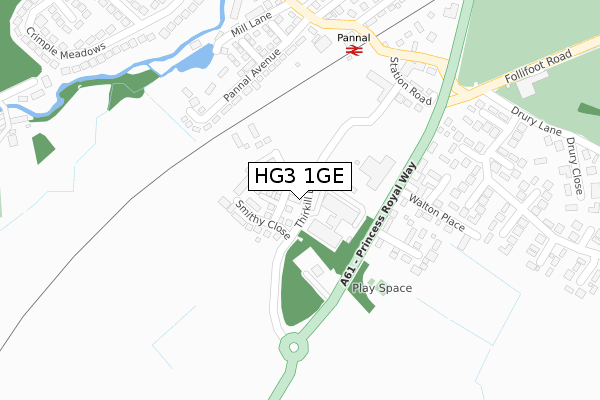
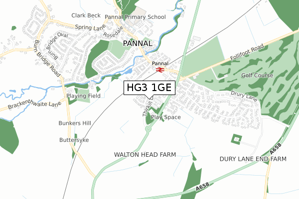
HG3 1GE is located in the Oatlands & Pannal electoral ward, within the unitary authority of North Yorkshire and the English Parliamentary constituency of Harrogate and Knaresborough. The Sub Integrated Care Board (ICB) Location is NHS Humber and North Yorkshire ICB - 42D and the police force is North Yorkshire. This postcode has been in use since September 2019.


GetTheData
Source: OS Open Zoomstack (Ordnance Survey)
Licence: Open Government Licence (requires attribution)
Attribution: Contains OS data © Crown copyright and database right 2025
Source: Open Postcode Geo
Licence: Open Government Licence (requires attribution)
Attribution: Contains OS data © Crown copyright and database right 2025; Contains Royal Mail data © Royal Mail copyright and database right 2025; Source: Office for National Statistics licensed under the Open Government Licence v.3.0
| Easting | 430687 |
| Northing | 451283 |
| Latitude | 53.956749 |
| Longitude | -1.533841 |
GetTheData
Source: Open Postcode Geo
Licence: Open Government Licence
| Country | England |
| Postcode District | HG3 |
➜ See where HG3 is on a map ➜ Where is Pannal? | |
GetTheData
Source: Land Registry Price Paid Data
Licence: Open Government Licence
| Ward | Oatlands & Pannal |
| Constituency | Harrogate And Knaresborough |
GetTheData
Source: ONS Postcode Database
Licence: Open Government Licence
9, THIRKILL DRIVE, PANNAL, HARROGATE, HG3 1GE 2022 30 SEP £389,995 |
GetTheData
Source: HM Land Registry Price Paid Data
Licence: Contains HM Land Registry data © Crown copyright and database right 2025. This data is licensed under the Open Government Licence v3.0.
| The Garage (Princess Royal Way) | Spacey Houses | 163m |
| The Garage (Princess Royal Way) | Spacey Houses | 167m |
| Rosedale Corner (Rosedale) | Pannal | 589m |
| Rosedale Corner (Rosedale) | Pannal | 596m |
| Cragside Garage (Leeds Road) | Spacey Houses | 598m |
| Pannal Station | 0.2km |
| Hornbeam Park Station | 2.6km |
| Harrogate Station | 4.1km |
GetTheData
Source: NaPTAN
Licence: Open Government Licence
GetTheData
Source: ONS Postcode Database
Licence: Open Government Licence


➜ Get more ratings from the Food Standards Agency
GetTheData
Source: Food Standards Agency
Licence: FSA terms & conditions
| Last Collection | |||
|---|---|---|---|
| Location | Mon-Fri | Sat | Distance |
| Almsford Park | 17:45 | 11:30 | 1,567m |
| Firs View/Firs Crescent | 18:00 | 11:45 | 1,648m |
| Firs Ave/Leeds Road | 18:00 | 11:30 | 1,918m |
GetTheData
Source: Dracos
Licence: Creative Commons Attribution-ShareAlike
The below table lists the International Territorial Level (ITL) codes (formerly Nomenclature of Territorial Units for Statistics (NUTS) codes) and Local Administrative Units (LAU) codes for HG3 1GE:
| ITL 1 Code | Name |
|---|---|
| TLE | Yorkshire and The Humber |
| ITL 2 Code | Name |
| TLE2 | North Yorkshire |
| ITL 3 Code | Name |
| TLE22 | North Yorkshire CC |
| LAU 1 Code | Name |
| E07000165 | Harrogate |
GetTheData
Source: ONS Postcode Directory
Licence: Open Government Licence
The below table lists the Census Output Area (OA), Lower Layer Super Output Area (LSOA), and Middle Layer Super Output Area (MSOA) for HG3 1GE:
| Code | Name | |
|---|---|---|
| OA | E00141071 | |
| LSOA | E01027700 | Harrogate 021B |
| MSOA | E02005781 | Harrogate 021 |
GetTheData
Source: ONS Postcode Directory
Licence: Open Government Licence
| HG3 1RH | Long Acre Court | 164m |
| HG3 1LQ | Spacey View | 184m |
| HG3 1JR | Pannal Avenue | 188m |
| HG3 1JJ | Station Road | 210m |
| HG3 1JT | Rosehurst Grove | 219m |
| HG3 1LD | 219m | |
| HG3 1RG | Long Acre Walk | 226m |
| HG3 1JS | Larch Grove | 234m |
| HG3 1LE | Walton Place | 234m |
| HG3 1JG | Pannal Bank | 255m |
GetTheData
Source: Open Postcode Geo; Land Registry Price Paid Data
Licence: Open Government Licence