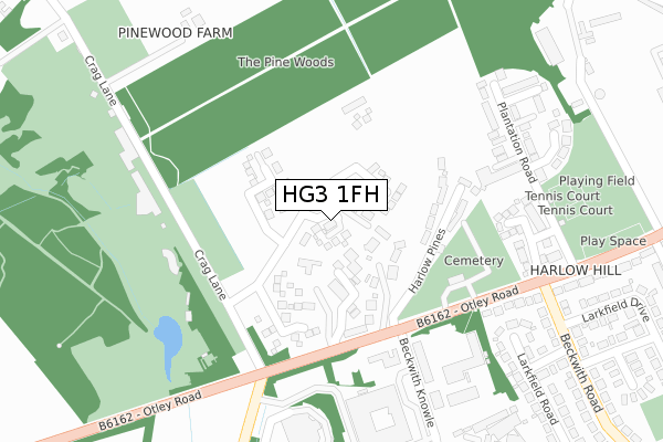
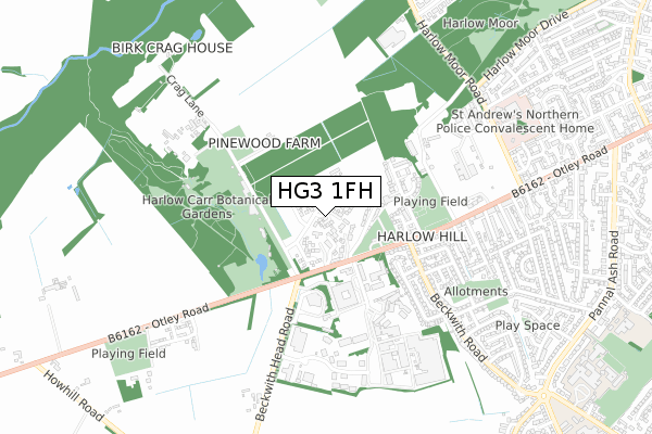
HG3 1FH is located in the Harlow & St. Georges electoral ward, within the unitary authority of North Yorkshire and the English Parliamentary constituency of Harrogate and Knaresborough. The Sub Integrated Care Board (ICB) Location is NHS Humber and North Yorkshire ICB - 42D and the police force is North Yorkshire. This postcode has been in use since September 2019.


GetTheData
Source: OS Open Zoomstack (Ordnance Survey)
Licence: Open Government Licence (requires attribution)
Attribution: Contains OS data © Crown copyright and database right 2025
Source: Open Postcode Geo
Licence: Open Government Licence (requires attribution)
Attribution: Contains OS data © Crown copyright and database right 2025; Contains Royal Mail data © Royal Mail copyright and database right 2025; Source: Office for National Statistics licensed under the Open Government Licence v.3.0
| Easting | 428432 |
| Northing | 454008 |
| Latitude | 53.981368 |
| Longitude | -1.567951 |
GetTheData
Source: Open Postcode Geo
Licence: Open Government Licence
| Country | England |
| Postcode District | HG3 |
➜ See where HG3 is on a map ➜ Where is Harrogate? | |
GetTheData
Source: Land Registry Price Paid Data
Licence: Open Government Licence
| Ward | Harlow & St. Georges |
| Constituency | Harrogate And Knaresborough |
GetTheData
Source: ONS Postcode Database
Licence: Open Government Licence
| Harlow Pines (Otley Road) | Harlow Moor | 203m |
| Harlow Pines (Otley Road) | Harlow Moor | 210m |
| Plantation Road (Otley Road) | Harlow Moor | 350m |
| Beckwith Knowle (N/A) | Pannal Ash | 362m |
| Plantation Road (Otley Road) | Harlow Moor | 395m |
| Harrogate Station | 2.4km |
| Hornbeam Park Station | 2.7km |
| Pannal Station | 3.4km |
GetTheData
Source: NaPTAN
Licence: Open Government Licence
GetTheData
Source: ONS Postcode Database
Licence: Open Government Licence


➜ Get more ratings from the Food Standards Agency
GetTheData
Source: Food Standards Agency
Licence: FSA terms & conditions
| Last Collection | |||
|---|---|---|---|
| Location | Mon-Fri | Sat | Distance |
| Swinton Court | 17:45 | 12:30 | 728m |
| 2 Park Ave | 17:30 | 13:15 | 1,631m |
| Duchy Road East | 17:45 | 13:30 | 1,727m |
GetTheData
Source: Dracos
Licence: Creative Commons Attribution-ShareAlike
The below table lists the International Territorial Level (ITL) codes (formerly Nomenclature of Territorial Units for Statistics (NUTS) codes) and Local Administrative Units (LAU) codes for HG3 1FH:
| ITL 1 Code | Name |
|---|---|
| TLE | Yorkshire and The Humber |
| ITL 2 Code | Name |
| TLE2 | North Yorkshire |
| ITL 3 Code | Name |
| TLE22 | North Yorkshire CC |
| LAU 1 Code | Name |
| E07000165 | Harrogate |
GetTheData
Source: ONS Postcode Directory
Licence: Open Government Licence
The below table lists the Census Output Area (OA), Lower Layer Super Output Area (LSOA), and Middle Layer Super Output Area (MSOA) for HG3 1FH:
| Code | Name | |
|---|---|---|
| OA | E00140839 | |
| LSOA | E01027653 | Harrogate 020A |
| MSOA | E02005780 | Harrogate 020 |
GetTheData
Source: ONS Postcode Directory
Licence: Open Government Licence
| HG3 1PT | Otley Road | 72m |
| HG3 1PX | Harlow Grange Park | 97m |
| HG3 1PZ | Harlow Pines | 168m |
| HG3 1GW | Harlow Grange Park | 170m |
| HG2 0DD | Plantation Avenue | 272m |
| HG2 0JF | Pinewood Gate | 285m |
| HG2 0DB | Plantation Road | 326m |
| HG2 0BU | Larkfield Road | 356m |
| HG2 0DE | Plantation Terrace | 357m |
| HG2 0DF | Plantation Close | 373m |
GetTheData
Source: Open Postcode Geo; Land Registry Price Paid Data
Licence: Open Government Licence