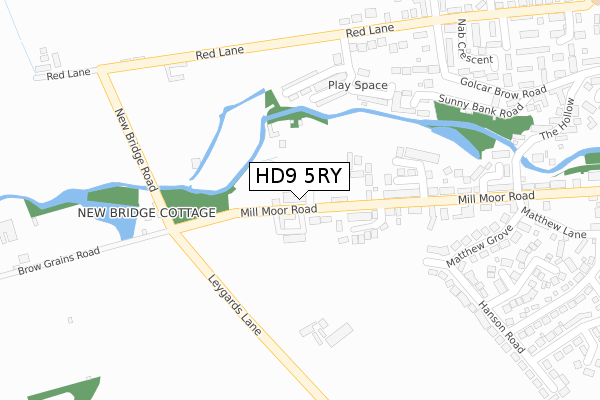
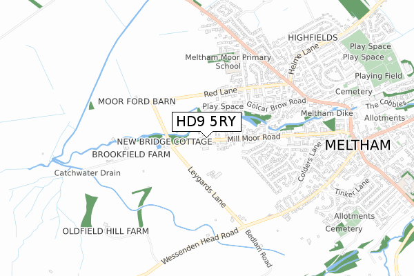
HD9 5RY is located in the Holme Valley North electoral ward, within the metropolitan district of Kirklees and the English Parliamentary constituency of Colne Valley. The Sub Integrated Care Board (ICB) Location is NHS West Yorkshire ICB - X2C4Y and the police force is West Yorkshire. This postcode has been in use since December 2019.


GetTheData
Source: OS Open Zoomstack (Ordnance Survey)
Licence: Open Government Licence (requires attribution)
Attribution: Contains OS data © Crown copyright and database right 2025
Source: Open Postcode Geo
Licence: Open Government Licence (requires attribution)
Attribution: Contains OS data © Crown copyright and database right 2025; Contains Royal Mail data © Royal Mail copyright and database right 2025; Source: Office for National Statistics licensed under the Open Government Licence v.3.0
| Easting | 409084 |
| Northing | 410638 |
| Latitude | 53.592258 |
| Longitude | -1.864232 |
GetTheData
Source: Open Postcode Geo
Licence: Open Government Licence
| Country | England |
| Postcode District | HD9 |
➜ See where HD9 is on a map ➜ Where is Meltham? | |
GetTheData
Source: Land Registry Price Paid Data
Licence: Open Government Licence
| Ward | Holme Valley North |
| Constituency | Colne Valley |
GetTheData
Source: ONS Postcode Database
Licence: Open Government Licence
14, WEST NAB VIEW, MELTHAM, HOLMFIRTH, HD9 5RY 2024 19 JUL £520,000 |
12, WEST NAB VIEW, MELTHAM, HOLMFIRTH, HD9 5RY 2022 1 JUN £520,000 |
11, WEST NAB VIEW, MELTHAM, HOLMFIRTH, HD9 5RY 2020 15 OCT £385,000 |
9, WEST NAB VIEW, MELTHAM, HOLMFIRTH, HD9 5RY 2020 2 MAR £364,995 |
15, WEST NAB VIEW, MELTHAM, HOLMFIRTH, HD9 5RY 2019 18 DEC £380,995 |
GetTheData
Source: HM Land Registry Price Paid Data
Licence: Contains HM Land Registry data © Crown copyright and database right 2025. This data is licensed under the Open Government Licence v3.0.
| Mill Moor Road | Meltham | 132m |
| Leygards Lane | Meltham | 277m |
| Matthew Grove | Meltham | 310m |
| Mill Moor Road | Meltham | 328m |
| Hanson Road | Meltham | 367m |
| Slaithwaite Station | 3.7km |
| Marsden Station | 4.6km |
| Berry Brow Station | 5.7km |
GetTheData
Source: NaPTAN
Licence: Open Government Licence
GetTheData
Source: ONS Postcode Database
Licence: Open Government Licence


➜ Get more ratings from the Food Standards Agency
GetTheData
Source: Food Standards Agency
Licence: FSA terms & conditions
| Last Collection | |||
|---|---|---|---|
| Location | Mon-Fri | Sat | Distance |
| 40 Red Lane, Meltham | 17:00 | 10:15 | 361m |
| Meltham P.o. Box | 17:30 | 11:15 | 930m |
| 10 Broadlands Meltham | 17:00 | 10:15 | 954m |
GetTheData
Source: Dracos
Licence: Creative Commons Attribution-ShareAlike
The below table lists the International Territorial Level (ITL) codes (formerly Nomenclature of Territorial Units for Statistics (NUTS) codes) and Local Administrative Units (LAU) codes for HD9 5RY:
| ITL 1 Code | Name |
|---|---|
| TLE | Yorkshire and The Humber |
| ITL 2 Code | Name |
| TLE4 | West Yorkshire |
| ITL 3 Code | Name |
| TLE44 | Calderdale and Kirklees |
| LAU 1 Code | Name |
| E08000034 | Kirklees |
GetTheData
Source: ONS Postcode Directory
Licence: Open Government Licence
The below table lists the Census Output Area (OA), Lower Layer Super Output Area (LSOA), and Middle Layer Super Output Area (MSOA) for HD9 5RY:
| Code | Name | |
|---|---|---|
| OA | E00056292 | |
| LSOA | E01011177 | Kirklees 055D |
| MSOA | E02002325 | Kirklees 055 |
GetTheData
Source: ONS Postcode Directory
Licence: Open Government Licence
| HD9 5LW | Mill Moor Road | 154m |
| HD9 5AB | Upper Mills View | 196m |
| HD9 5AA | Upper Sunny Bank Mews | 212m |
| HD9 5AD | Lower Mill Mews | 221m |
| HD9 5AE | Lower Sunny Bank Court | 224m |
| HD9 5LL | Sunny Bank Road | 232m |
| HD9 5JB | Albion Court | 258m |
| HD9 5JE | New Bridge Road | 261m |
| HD9 5LY | Matthew Grove | 277m |
| HD9 5LF | Golcar Brow Road | 305m |
GetTheData
Source: Open Postcode Geo; Land Registry Price Paid Data
Licence: Open Government Licence