Property/Postcode Data Search:
HD9 1AP maps, stats, and open data
HD9 1AP is located in the Holme Valley South electoral ward, within the metropolitan district of Kirklees and the English Parliamentary constituency of Colne Valley. The Sub Integrated Care Board (ICB) Location is NHS West Yorkshire ICB - X2C4Y and the police force is West Yorkshire. This postcode has been in use since December 2018.
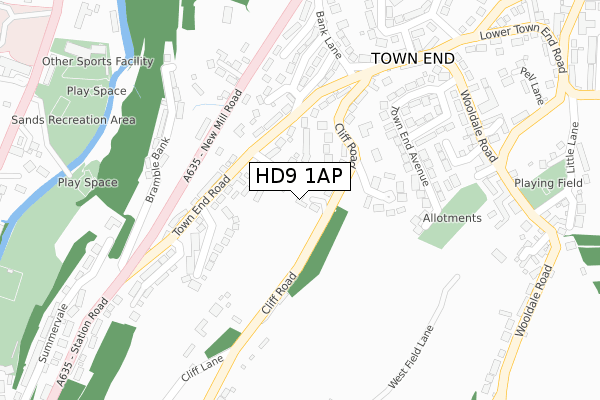
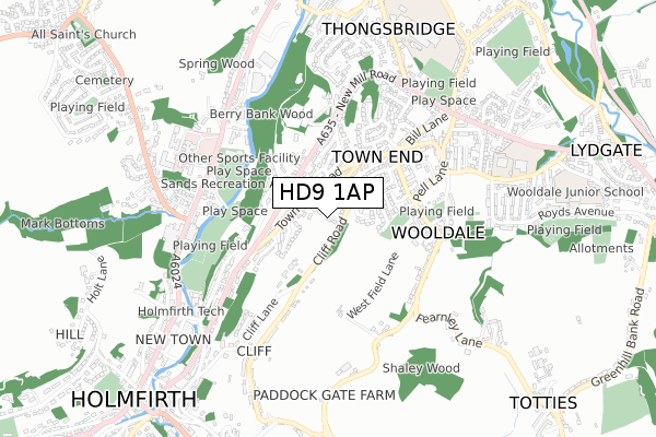
HD9 1AP maps


Source: OS Open Zoomstack (Ordnance Survey)
Licence: Open Government Licence (requires attribution)
Attribution: Contains OS data © Crown copyright and database right 2025
Source: Open Postcode Geo
Licence: Open Government Licence (requires attribution)
Attribution: Contains OS data © Crown copyright and database right 2025; Contains Royal Mail data © Royal Mail copyright and database right 2025; Source: Office for National Statistics licensed under the Open Government Licence v.3.0
Licence: Open Government Licence (requires attribution)
Attribution: Contains OS data © Crown copyright and database right 2025
Source: Open Postcode Geo
Licence: Open Government Licence (requires attribution)
Attribution: Contains OS data © Crown copyright and database right 2025; Contains Royal Mail data © Royal Mail copyright and database right 2025; Source: Office for National Statistics licensed under the Open Government Licence v.3.0
HD9 1AP geodata
| Easting | 414902 |
| Northing | 408890 |
| Latitude | 53.576415 |
| Longitude | -1.776418 |
Where is HD9 1AP?
| Country | England |
| Postcode District | HD9 |
Politics
| Ward | Holme Valley South |
|---|---|
| Constituency | Colne Valley |
Transport
Nearest bus stops to HD9 1AP
| Cliff Lane | Wooldale | 46m |
| Town End Road | Wooldale | 117m |
| Town End Road | Wooldale | 122m |
| Cliff House Lane | Wooldale | 258m |
| Town End Rd Bank Lane (Town End Road) | Wooldale | 279m |
Nearest railway stations to HD9 1AP
| Brockholes Station | 2.3km |
| Honley Station | 3.6km |
| Stocksmoor Station | 4km |
Deprivation
28.6% of English postcodes are less deprived than HD9 1AP:Food Standards Agency
Three nearest food hygiene ratings to HD9 1AP (metres)
Central England Cooperative

Central England Cooperative Society
316m
The Wooldale Arms

53 Wooldale Road
418m
Ability Options Ltd

Ability Options
527m
➜ Get more ratings from the Food Standards Agency
Nearest post box to HD9 1AP
| Last Collection | |||
|---|---|---|---|
| Location | Mon-Fri | Sat | Distance |
| 5 Banksville | 17:00 | 12:15 | 301m |
| Wooldale P.o. Box | 17:15 | 12:00 | 353m |
| Engine House | 17:30 | 12:15 | 506m |
HD9 1AP ITL and HD9 1AP LAU
The below table lists the International Territorial Level (ITL) codes (formerly Nomenclature of Territorial Units for Statistics (NUTS) codes) and Local Administrative Units (LAU) codes for HD9 1AP:
| ITL 1 Code | Name |
|---|---|
| TLE | Yorkshire and The Humber |
| ITL 2 Code | Name |
| TLE4 | West Yorkshire |
| ITL 3 Code | Name |
| TLE44 | Calderdale and Kirklees |
| LAU 1 Code | Name |
| E08000034 | Kirklees |
HD9 1AP census areas
The below table lists the Census Output Area (OA), Lower Layer Super Output Area (LSOA), and Middle Layer Super Output Area (MSOA) for HD9 1AP:
| Code | Name | |
|---|---|---|
| OA | E00056355 | |
| LSOA | E01011187 | Kirklees 059F |
| MSOA | E02002329 | Kirklees 059 |
Nearest postcodes to HD9 1AP
| HD9 1AL | Clifton Avenue | 63m |
| HD9 1AH | Town End Road | 111m |
| HD9 1QP | Cliff Road | 113m |
| HD9 1AT | Ingdale Drive | 160m |
| HD9 1QS | Meadow Bank | 170m |
| HD9 1QW | Town End Avenue | 187m |
| HD9 1UZ | Cliff Road | 200m |
| HD9 7LN | New Mill Road | 227m |
| HD9 1XN | Orchard Place | 248m |
| HD9 1XP | Banksville | 262m |