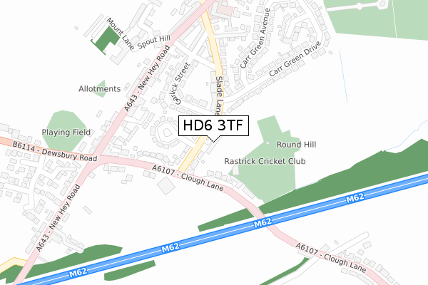
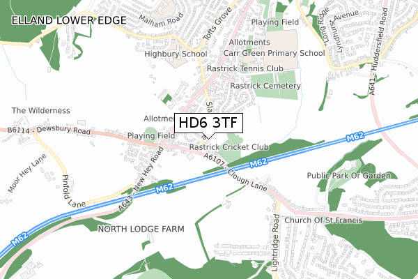
HD6 3TF is located in the Rastrick electoral ward, within the metropolitan district of Calderdale and the English Parliamentary constituency of Calder Valley. The Sub Integrated Care Board (ICB) Location is NHS West Yorkshire ICB - 02T and the police force is West Yorkshire. This postcode has been in use since December 2018.


GetTheData
Source: OS Open Zoomstack (Ordnance Survey)
Licence: Open Government Licence (requires attribution)
Attribution: Contains OS data © Crown copyright and database right 2025
Source: Open Postcode Geo
Licence: Open Government Licence (requires attribution)
Attribution: Contains OS data © Crown copyright and database right 2025; Contains Royal Mail data © Royal Mail copyright and database right 2025; Source: Office for National Statistics licensed under the Open Government Licence v.3.0
| Easting | 413527 |
| Northing | 420714 |
| Latitude | 53.682728 |
| Longitude | -1.796675 |
GetTheData
Source: Open Postcode Geo
Licence: Open Government Licence
| Country | England |
| Postcode District | HD6 |
➜ See where HD6 is on a map ➜ Where is Brighouse? | |
GetTheData
Source: Land Registry Price Paid Data
Licence: Open Government Licence
| Ward | Rastrick |
| Constituency | Calder Valley |
GetTheData
Source: ONS Postcode Database
Licence: Open Government Licence
| Slade Lane Fletcher Crescent (Slade Lane) | Rastrick | 20m |
| Slade Lane Fletcher Crescent (Slade Lane) | Rastrick | 34m |
| Clough Lane Slade Ln (Clough Lane) | Rastrick | 84m |
| Clough Lane Slade Ln (Clough Lane) | Rastrick | 108m |
| Clough Lane | Rastrick | 157m |
| Brighouse Station | 2.1km |
| Deighton Station | 3.4km |
| Huddersfield Station | 3.9km |
GetTheData
Source: NaPTAN
Licence: Open Government Licence
GetTheData
Source: ONS Postcode Database
Licence: Open Government Licence


➜ Get more ratings from the Food Standards Agency
GetTheData
Source: Food Standards Agency
Licence: FSA terms & conditions
| Last Collection | |||
|---|---|---|---|
| Location | Mon-Fri | Sat | Distance |
| 37 Clough Lane | 17:15 | 11:45 | 99m |
| 32 New Hey Road | 17:15 | 11:45 | 332m |
| 31a Crow Trees Lane | 17:15 | 11:45 | 639m |
GetTheData
Source: Dracos
Licence: Creative Commons Attribution-ShareAlike
The below table lists the International Territorial Level (ITL) codes (formerly Nomenclature of Territorial Units for Statistics (NUTS) codes) and Local Administrative Units (LAU) codes for HD6 3TF:
| ITL 1 Code | Name |
|---|---|
| TLE | Yorkshire and The Humber |
| ITL 2 Code | Name |
| TLE4 | West Yorkshire |
| ITL 3 Code | Name |
| TLE44 | Calderdale and Kirklees |
| LAU 1 Code | Name |
| E08000033 | Calderdale |
GetTheData
Source: ONS Postcode Directory
Licence: Open Government Licence
The below table lists the Census Output Area (OA), Lower Layer Super Output Area (LSOA), and Middle Layer Super Output Area (MSOA) for HD6 3TF:
| Code | Name | |
|---|---|---|
| OA | E00055198 | |
| LSOA | E01010948 | Calderdale 024E |
| MSOA | E02002267 | Calderdale 024 |
GetTheData
Source: ONS Postcode Directory
Licence: Open Government Licence
| HD6 3PP | Slade Lane | 43m |
| HD6 3QL | Clough Lane | 88m |
| HD6 3PR | Fletcher Crescent | 95m |
| HD6 3PW | Garlick Street | 168m |
| HD6 3QQ | Clough Lane | 178m |
| HD6 3PL | Slade Lane | 187m |
| HD6 3QH | Clough Lane | 200m |
| HD6 3QA | New Road Square | 202m |
| HD6 3PY | New Hey Road | 207m |
| HD6 3QT | Regent Close | 209m |
GetTheData
Source: Open Postcode Geo; Land Registry Price Paid Data
Licence: Open Government Licence