Property/Postcode Data Search:
HA9 0LR maps, stats, and open data
HA9 0LR is located in the Wembley Park electoral ward, within the London borough of Brent and the English Parliamentary constituency of Brent Central. The Sub Integrated Care Board (ICB) Location is NHS North West London ICB - W2U3Z and the police force is Metropolitan Police. This postcode has been in use since April 2020.
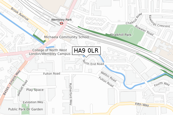
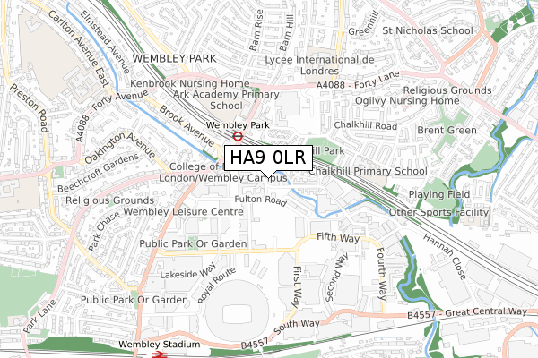
HA9 0LR maps


Source: OS Open Zoomstack (Ordnance Survey)
Licence: Open Government Licence (requires attribution)
Attribution: Contains OS data © Crown copyright and database right 2025
Source: Open Postcode Geo
Licence: Open Government Licence (requires attribution)
Attribution: Contains OS data © Crown copyright and database right 2025; Contains Royal Mail data © Royal Mail copyright and database right 2025; Source: Office for National Statistics licensed under the Open Government Licence v.3.0
Licence: Open Government Licence (requires attribution)
Attribution: Contains OS data © Crown copyright and database right 2025
Source: Open Postcode Geo
Licence: Open Government Licence (requires attribution)
Attribution: Contains OS data © Crown copyright and database right 2025; Contains Royal Mail data © Royal Mail copyright and database right 2025; Source: Office for National Statistics licensed under the Open Government Licence v.3.0
HA9 0LR geodata
| Easting | 519516 |
| Northing | 186152 |
| Latitude | 51.561595 |
| Longitude | -0.277221 |
Where is HA9 0LR?
| Country | England |
| Postcode District | HA9 |
Politics
| Ward | Wembley Park |
|---|---|
| Constituency | Brent Central |
Transport
Nearest bus stops to HA9 0LR
| Rutherford Way | Wembley Park | 188m |
| Rutherford Way | Wembley Park | 188m |
| Wembley Park (Bridge Road) | Wembley Park | 234m |
| Wembley Park (Bridge Road) | Wembley Park | 237m |
| Fulton Road | Wembley Park | 240m |
Nearest underground/metro/tram to HA9 0LR
| Wembley Park Underground Station | Wembley Park | 227m |
| Preston Road Underground Station | Preston | 1,693m |
| Wembley Central Underground Station | Wembley | 1,708m |
Nearest railway stations to HA9 0LR
| Wembley Stadium Station | 1km |
| Wembley Central Station | 1.7km |
| North Wembley Station | 1.9km |
Deprivation
55.5% of English postcodes are less deprived than HA9 0LR:Food Standards Agency
Three nearest food hygiene ratings to HA9 0LR (metres)
Michaela Community School - School Kitchen

Michaela Community School
54m
Vonder UK LTD
Member's Lounge
137m
YiFang Fruit Tea

1F Olympic Way
141m
➜ Get more ratings from the Food Standards Agency
Nearest post box to HA9 0LR
| Last Collection | |||
|---|---|---|---|
| Location | Mon-Fri | Sat | Distance |
| Empire Court | 18:15 | 12:30 | 163m |
| Manor Drive | 17:00 | 12:15 | 550m |
| Empire Way | 17:00 | 12:45 | 567m |
HA9 0LR ITL and HA9 0LR LAU
The below table lists the International Territorial Level (ITL) codes (formerly Nomenclature of Territorial Units for Statistics (NUTS) codes) and Local Administrative Units (LAU) codes for HA9 0LR:
| ITL 1 Code | Name |
|---|---|
| TLI | London |
| ITL 2 Code | Name |
| TLI7 | Outer London - West and North West |
| ITL 3 Code | Name |
| TLI72 | Brent |
| LAU 1 Code | Name |
| E09000005 | Brent |
HA9 0LR census areas
The below table lists the Census Output Area (OA), Lower Layer Super Output Area (LSOA), and Middle Layer Super Output Area (MSOA) for HA9 0LR:
| Code | Name | |
|---|---|---|
| OA | E00002968 | |
| LSOA | E01000615 | Brent 017B |
| MSOA | E02000109 | Brent 017 |
Nearest postcodes to HA9 0LR
| HA9 0AD | North End Road | 39m |
| HA9 0AE | North End Road | 87m |
| HA9 0UU | North End Road | 104m |
| HA9 0AJ | North End Road | 145m |
| HA9 0AH | North End Road | 152m |
| HA9 9AW | Windsor Crescent | 175m |
| HA9 0AQ | North End Road | 184m |
| HA9 0AG | North End Road | 192m |
| HA9 0AL | North End Road | 194m |
| HA9 9AN | Windsor Crescent | 203m |