GU6 7FU maps, stats, and open data
GU6 7FU is located in the Cranleigh East electoral ward, within the local authority district of Waverley and the English Parliamentary constituency of Guildford. The Sub Integrated Care Board (ICB) Location is NHS Surrey Heartlands ICB - 92A and the police force is Surrey. This postcode has been in use since January 2018.
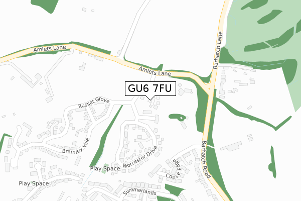
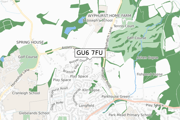
GU6 7FU maps


Licence: Open Government Licence (requires attribution)
Attribution: Contains OS data © Crown copyright and database right 2025
Source: Open Postcode Geo
Licence: Open Government Licence (requires attribution)
Attribution: Contains OS data © Crown copyright and database right 2025; Contains Royal Mail data © Royal Mail copyright and database right 2025; Source: Office for National Statistics licensed under the Open Government Licence v.3.0
GU6 7FU geodata
| Easting | 506510 |
| Northing | 140200 |
| Latitude | 51.151154 |
| Longitude | -0.478516 |
Where is GU6 7FU?
| Country | England |
| Postcode District | GU6 |
Politics
| Ward | Cranleigh East |
|---|---|
| Constituency | Guildford |
House Prices
Sales of detached houses in GU6 7FU
2024 25 NOV £545,000 |
2, SPARTAN PLACE, CRANLEIGH, GU6 7FU 2018 31 MAY £675,000 |
3, SPARTAN PLACE, CRANLEIGH, GU6 7FU 2018 25 MAY £750,000 |
4, SPARTAN PLACE, CRANLEIGH, GU6 7FU 2018 30 APR £990,000 |
1, SPARTAN PLACE, CRANLEIGH, GU6 7FU 2018 5 FEB £455,000 |
2017 17 NOV £465,000 |
Licence: Contains HM Land Registry data © Crown copyright and database right 2025. This data is licensed under the Open Government Licence v3.0.
Transport
Nearest bus stops to GU6 7FU
| Acres Platt | Cranleigh | 483m |
| Acres Platt | Cranleigh | 484m |
| The Ridings | Cranleigh | 561m |
| Killicks (Sherrydon) | Cranleigh | 616m |
| Killicks (Sherrydon) | Cranleigh | 637m |
Broadband
Broadband access in GU6 7FU (2020 data)
| Percentage of properties with Next Generation Access | 100.0% |
| Percentage of properties with Superfast Broadband | 100.0% |
| Percentage of properties with Ultrafast Broadband | 100.0% |
| Percentage of properties with Full Fibre Broadband | 100.0% |
Superfast Broadband is between 30Mbps and 300Mbps
Ultrafast Broadband is > 300Mbps
Broadband limitations in GU6 7FU (2020 data)
| Percentage of properties unable to receive 2Mbps | 0.0% |
| Percentage of properties unable to receive 5Mbps | 0.0% |
| Percentage of properties unable to receive 10Mbps | 0.0% |
| Percentage of properties unable to receive 30Mbps | 0.0% |
Deprivation
9.1% of English postcodes are less deprived than GU6 7FU:Food Standards Agency
Three nearest food hygiene ratings to GU6 7FU (metres)


➜ Get more ratings from the Food Standards Agency
Nearest post box to GU6 7FU
| Last Collection | |||
|---|---|---|---|
| Location | Mon-Fri | Sat | Distance |
| Barhatch Lane | 17:15 | 09:00 | 212m |
| Summerlands | 17:30 | 12:00 | 516m |
| Sherrydon | 17:30 | 12:00 | 621m |
GU6 7FU ITL and GU6 7FU LAU
The below table lists the International Territorial Level (ITL) codes (formerly Nomenclature of Territorial Units for Statistics (NUTS) codes) and Local Administrative Units (LAU) codes for GU6 7FU:
| ITL 1 Code | Name |
|---|---|
| TLJ | South East (England) |
| ITL 2 Code | Name |
| TLJ2 | Surrey, East and West Sussex |
| ITL 3 Code | Name |
| TLJ25 | West Surrey |
| LAU 1 Code | Name |
| E07000216 | Waverley |
GU6 7FU census areas
The below table lists the Census Output Area (OA), Lower Layer Super Output Area (LSOA), and Middle Layer Super Output Area (MSOA) for GU6 7FU:
| Code | Name | |
|---|---|---|
| OA | E00157732 | |
| LSOA | E01030940 | Waverley 008D |
| MSOA | E02006446 | Waverley 008 |
Nearest postcodes to GU6 7FU
| GU6 7DU | Copse Edge | 242m |
| GU6 7DH | Amlets Lane | 258m |
| GU6 7BX | Summerlands | 321m |
| GU6 7DE | Mower Place | 347m |
| GU6 7DF | Waldy Rise | 360m |
| GU6 7BE | Slip Of Wood | 379m |
| GU6 7DQ | Butt Close | 388m |
| GU6 7DJ | Barhatch Road | 396m |
| GU6 7DG | Barber Drive | 423m |
| GU6 7FN | Roberts Way | 443m |