GU32 1BU maps, stats, and open data
GU32 1BU is located in the Ropley, Hawkley & Hangers electoral ward, within the local authority district of East Hampshire and the English Parliamentary constituency of East Hampshire. The Sub Integrated Care Board (ICB) Location is NHS Hampshire and Isle of Wight ICB - D9Y0V and the police force is Hampshire. This postcode has been in use since March 2018.
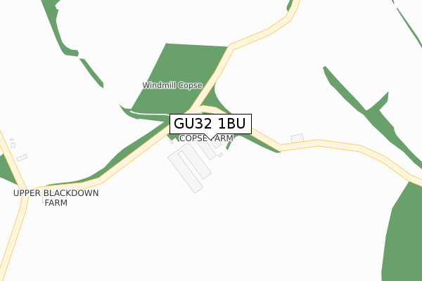
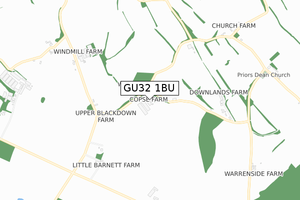
GU32 1BU maps


Licence: Open Government Licence (requires attribution)
Attribution: Contains OS data © Crown copyright and database right 2025
Source: Open Postcode Geo
Licence: Open Government Licence (requires attribution)
Attribution: Contains OS data © Crown copyright and database right 2025; Contains Royal Mail data © Royal Mail copyright and database right 2025; Source: Office for National Statistics licensed under the Open Government Licence v.3.0
GU32 1BU geodata
| Easting | 471840 |
| Northing | 129403 |
| Latitude | 51.059477 |
| Longitude | -0.976262 |
Where is GU32 1BU?
| Country | England |
| Postcode District | GU32 |
Politics
| Ward | Ropley, Hawkley & Hangers |
|---|---|
| Constituency | East Hampshire |
Transport
Nearest bus stops to GU32 1BU
| Warren Corner (Warren Lane) | Warren Corner | 1,656m |
Deprivation
48.8% of English postcodes are less deprived than GU32 1BU:Food Standards Agency
Three nearest food hygiene ratings to GU32 1BU (metres)

➜ Get more ratings from the Food Standards Agency
Nearest post box to GU32 1BU
| Last Collection | |||
|---|---|---|---|
| Location | Mon-Fri | Sat | Distance |
| Priorsdean | 16:00 | 08:30 | 999m |
| Colemore | 16:15 | 07:30 | 1,794m |
| Warren Corner | 16:00 | 09:30 | 1,862m |
GU32 1BU ITL and GU32 1BU LAU
The below table lists the International Territorial Level (ITL) codes (formerly Nomenclature of Territorial Units for Statistics (NUTS) codes) and Local Administrative Units (LAU) codes for GU32 1BU:
| ITL 1 Code | Name |
|---|---|
| TLJ | South East (England) |
| ITL 2 Code | Name |
| TLJ3 | Hampshire and Isle of Wight |
| ITL 3 Code | Name |
| TLJ36 | Central Hampshire |
| LAU 1 Code | Name |
| E07000085 | East Hampshire |
GU32 1BU census areas
The below table lists the Census Output Area (OA), Lower Layer Super Output Area (LSOA), and Middle Layer Super Output Area (MSOA) for GU32 1BU:
| Code | Name | |
|---|---|---|
| OA | E00114877 | |
| LSOA | E01022597 | East Hampshire 011B |
| MSOA | E02004707 | East Hampshire 011 |
Nearest postcodes to GU32 1BU
| GU34 3PY | Windmill Farm Cottages | 470m |
| GU32 1BP | 587m | |
| GU32 1BZ | 859m | |
| GU34 3PX | 932m | |
| GU32 1BX | Froxfield Drive | 997m |
| GU32 1DD | Claypit Lane | 1407m |
| GU32 1BY | Barnet Side Cottages | 1550m |
| GU32 1BN | Warren Lane | 1599m |
| GU32 1BJ | Warren Corner | 1657m |
| GU34 3RX | Shell Lane | 1837m |