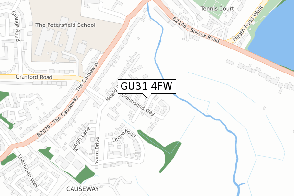
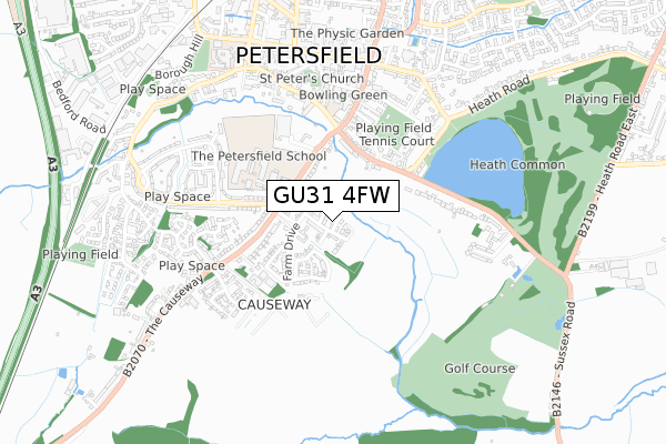
GU31 4FW is located in the Petersfield Causeway electoral ward, within the local authority district of East Hampshire and the English Parliamentary constituency of East Hampshire. The Sub Integrated Care Board (ICB) Location is NHS Hampshire and Isle of Wight ICB - D9Y0V and the police force is Hampshire. This postcode has been in use since December 2019.


GetTheData
Source: OS Open Zoomstack (Ordnance Survey)
Licence: Open Government Licence (requires attribution)
Attribution: Contains OS data © Crown copyright and database right 2025
Source: Open Postcode Geo
Licence: Open Government Licence (requires attribution)
Attribution: Contains OS data © Crown copyright and database right 2025; Contains Royal Mail data © Royal Mail copyright and database right 2025; Source: Office for National Statistics licensed under the Open Government Licence v.3.0
| Easting | 474723 |
| Northing | 122638 |
| Latitude | 50.998287 |
| Longitude | -0.936523 |
GetTheData
Source: Open Postcode Geo
Licence: Open Government Licence
| Country | England |
| Postcode District | GU31 |
➜ See where GU31 is on a map ➜ Where is Petersfield? | |
GetTheData
Source: Land Registry Price Paid Data
Licence: Open Government Licence
| Ward | Petersfield Causeway |
| Constituency | East Hampshire |
GetTheData
Source: ONS Postcode Database
Licence: Open Government Licence
15, CHALK DOWN, PETERSFIELD, GU31 4FW 2019 20 DEC £590,000 |
GetTheData
Source: HM Land Registry Price Paid Data
Licence: Contains HM Land Registry data © Crown copyright and database right 2025. This data is licensed under the Open Government Licence v3.0.
| Cranford Road (The Causeway) | Petersfield | 204m |
| Cranford Road (The Causeway) | Petersfield | 223m |
| Petersfield School (Cranford Road) | Petersfield | 273m |
| Petersfield School (Cranford Road) | Petersfield | 301m |
| Tesco | Petersfield | 326m |
| Petersfield Station | 1km |
GetTheData
Source: NaPTAN
Licence: Open Government Licence
GetTheData
Source: ONS Postcode Database
Licence: Open Government Licence


➜ Get more ratings from the Food Standards Agency
GetTheData
Source: Food Standards Agency
Licence: FSA terms & conditions
| Last Collection | |||
|---|---|---|---|
| Location | Mon-Fri | Sat | Distance |
| Cranford Road Petersfield | 17:30 | 10:00 | 215m |
| Hylton Road | 17:30 | 12:00 | 346m |
| Fairfield Farm | 17:30 | 12:00 | 370m |
GetTheData
Source: Dracos
Licence: Creative Commons Attribution-ShareAlike
The below table lists the International Territorial Level (ITL) codes (formerly Nomenclature of Territorial Units for Statistics (NUTS) codes) and Local Administrative Units (LAU) codes for GU31 4FW:
| ITL 1 Code | Name |
|---|---|
| TLJ | South East (England) |
| ITL 2 Code | Name |
| TLJ3 | Hampshire and Isle of Wight |
| ITL 3 Code | Name |
| TLJ36 | Central Hampshire |
| LAU 1 Code | Name |
| E07000085 | East Hampshire |
GetTheData
Source: ONS Postcode Directory
Licence: Open Government Licence
The below table lists the Census Output Area (OA), Lower Layer Super Output Area (LSOA), and Middle Layer Super Output Area (MSOA) for GU31 4FW:
| Code | Name | |
|---|---|---|
| OA | E00114999 | |
| LSOA | E01022622 | East Hampshire 012C |
| MSOA | E02004708 | East Hampshire 012 |
GetTheData
Source: ONS Postcode Directory
Licence: Open Government Licence
| GU31 4JS | The Causeway | 191m |
| GU31 4JT | The Causeway | 227m |
| GU31 4LL | The Causeway | 282m |
| GU31 4JX | Sussex Road | 301m |
| GU31 4LJ | The Causeway | 325m |
| GU31 4LF | Sussex Road | 332m |
| GU31 4JZ | Sussex Road | 335m |
| GU31 4JY | Sussex Gardens | 347m |
| GU32 3LX | Cranford Road | 348m |
| GU31 4LA | Heath Road West | 400m |
GetTheData
Source: Open Postcode Geo; Land Registry Price Paid Data
Licence: Open Government Licence