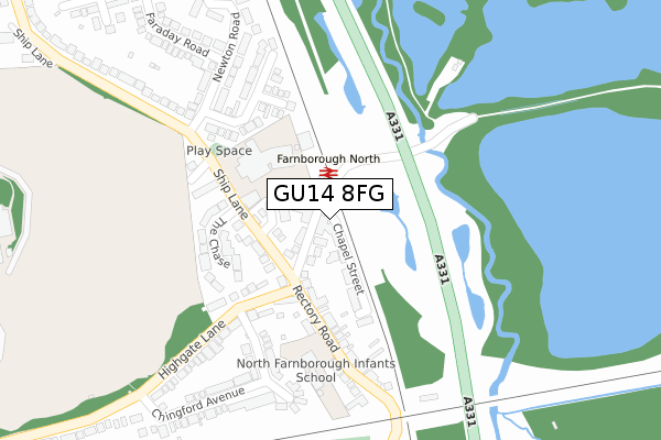
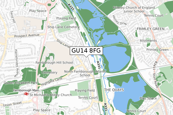
GU14 8FG is located in the Empress electoral ward, within the local authority district of Rushmoor and the English Parliamentary constituency of Aldershot. The Sub Integrated Care Board (ICB) Location is NHS Frimley ICB - D4U1Y and the police force is Hampshire. This postcode has been in use since August 2017.


GetTheData
Source: OS Open Zoomstack (Ordnance Survey)
Licence: Open Government Licence (requires attribution)
Attribution: Contains OS data © Crown copyright and database right 2025
Source: Open Postcode Geo
Licence: Open Government Licence (requires attribution)
Attribution: Contains OS data © Crown copyright and database right 2025; Contains Royal Mail data © Royal Mail copyright and database right 2025; Source: Office for National Statistics licensed under the Open Government Licence v.3.0
| Easting | 487738 |
| Northing | 156564 |
| Latitude | 51.301447 |
| Longitude | -0.742839 |
GetTheData
Source: Open Postcode Geo
Licence: Open Government Licence
| Country | England |
| Postcode District | GU14 |
➜ See where GU14 is on a map ➜ Where is Farnborough? | |
GetTheData
Source: Land Registry Price Paid Data
Licence: Open Government Licence
| Ward | Empress |
| Constituency | Aldershot |
GetTheData
Source: ONS Postcode Database
Licence: Open Government Licence
| Farnborough North Station (Ship Lane) | Farnborough Street | 138m |
| Highgate Lane (Rectory Road) | Farnborough Street | 139m |
| Highgate Lane (Rectory Road) | Farnborough Street | 140m |
| Farnborough North Station (Ship Lane) | Farnborough Street | 157m |
| Rectory Road (Highgate Lane) | Farnborough Street | 202m |
| Farnborough North Station | 0.1km |
| Farnborough (Main) Station | 1km |
| Frimley Station | 1.2km |
GetTheData
Source: NaPTAN
Licence: Open Government Licence
GetTheData
Source: ONS Postcode Database
Licence: Open Government Licence


➜ Get more ratings from the Food Standards Agency
GetTheData
Source: Food Standards Agency
Licence: FSA terms & conditions
| Last Collection | |||
|---|---|---|---|
| Location | Mon-Fri | Sat | Distance |
| 18 Farnborough Street | 17:00 | 12:00 | 36m |
| The Crescent | 16:45 | 12:00 | 261m |
| Empress Avenue | 16:30 | 11:15 | 734m |
GetTheData
Source: Dracos
Licence: Creative Commons Attribution-ShareAlike
The below table lists the International Territorial Level (ITL) codes (formerly Nomenclature of Territorial Units for Statistics (NUTS) codes) and Local Administrative Units (LAU) codes for GU14 8FG:
| ITL 1 Code | Name |
|---|---|
| TLJ | South East (England) |
| ITL 2 Code | Name |
| TLJ3 | Hampshire and Isle of Wight |
| ITL 3 Code | Name |
| TLJ37 | North Hampshire |
| LAU 1 Code | Name |
| E07000092 | Rushmoor |
GetTheData
Source: ONS Postcode Directory
Licence: Open Government Licence
The below table lists the Census Output Area (OA), Lower Layer Super Output Area (LSOA), and Middle Layer Super Output Area (MSOA) for GU14 8FG:
| Code | Name | |
|---|---|---|
| OA | E00117392 | |
| LSOA | E01023103 | Rushmoor 004C |
| MSOA | E02004805 | Rushmoor 004 |
GetTheData
Source: ONS Postcode Directory
Licence: Open Government Licence
| GU14 8AG | Farnborough Street | 43m |
| GU14 8BU | Home Farm Close | 73m |
| GU14 8AH | Chapel Street | 79m |
| GU14 8BX | Ship Lane | 114m |
| GU14 8BB | Charlotte Mews | 141m |
| GU14 8BY | The Chase | 163m |
| GU14 8AF | Highgate Lane | 175m |
| GU14 8BZ | Woodstocks | 196m |
| GU14 8AL | Rectory Road | 206m |
| GU14 8AJ | Rectory Road | 225m |
GetTheData
Source: Open Postcode Geo; Land Registry Price Paid Data
Licence: Open Government Licence