GU11 3FT maps, stats, and open data
- Home
- Postcode
- GU
- GU11
- GU11 3
GU11 3FT is located in the Manor Park electoral ward, within the local authority district of Rushmoor and the English Parliamentary constituency of Aldershot. The Sub Integrated Care Board (ICB) Location is NHS Frimley ICB - D4U1Y and the police force is Hampshire. This postcode has been in use since January 2018.
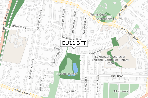
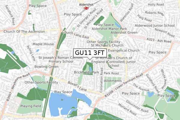
GU11 3FT maps


Source: OS Open Zoomstack (Ordnance Survey)
Licence: Open Government Licence (requires attribution)
Attribution: Contains OS data © Crown copyright and database right 2025
Source: Open Postcode GeoLicence: Open Government Licence (requires attribution)
Attribution: Contains OS data © Crown copyright and database right 2025; Contains Royal Mail data © Royal Mail copyright and database right 2025; Source: Office for National Statistics licensed under the Open Government Licence v.3.0
GU11 3FT geodata
| Easting | 486703 |
| Northing | 149689 |
| Latitude | 51.239800 |
| Longitude | -0.759347 |
Where is GU11 3FT?
| Country | England |
| Postcode District | GU11 |
Politics
| Ward | Manor Park |
|---|
| Constituency | Aldershot |
|---|
Transport
Nearest bus stops to GU11 3FT
| Croft Road (Church Lane East) | Aldershot | 276m |
| St Michaels Church (Church Lane East) | Aldershot | 337m |
| St Michaels Church (Church Lane East) | Aldershot | 340m |
| St Michaels Road (Church Lane East) | Aldershot | 341m |
| St Michaels Road (Church Lane East) | Aldershot | 357m |
Nearest railway stations to GU11 3FT
| Aldershot Station | 0.7km |
| Ash Station | 3.4km |
| Farnham Station | 3.9km |
Broadband
Broadband access in GU11 3FT (2020 data)
| Percentage of properties with Next Generation Access | 100.0% |
| Percentage of properties with Superfast Broadband | 100.0% |
| Percentage of properties with Ultrafast Broadband | 100.0% |
| Percentage of properties with Full Fibre Broadband | 100.0% |
Superfast Broadband is between 30Mbps and 300Mbps
Ultrafast Broadband is > 300Mbps
Broadband limitations in GU11 3FT (2020 data)
| Percentage of properties unable to receive 2Mbps | 0.0% |
| Percentage of properties unable to receive 5Mbps | 0.0% |
| Percentage of properties unable to receive 10Mbps | 0.0% |
| Percentage of properties unable to receive 30Mbps | 0.0% |
Deprivation
13.7% of English postcodes are less deprived than
GU11 3FT:
Food Standards Agency
Three nearest food hygiene ratings to GU11 3FT (metres)
St Michaels Infant School
St Michaels Church Of England Infant School
249m
Orangery Care Home
St Josephs R.C. School
St Josephs Roman Catholic Primary School
362m
➜ Get more ratings from the Food Standards Agency
Nearest post box to GU11 3FT
| | Last Collection | |
|---|
| Location | Mon-Fri | Sat | Distance |
|---|
| Highfield Avenue | 16:45 | 11:45 | 260m |
| Crown Terrace | 16:45 | 11:45 | 301m |
| Boxalls Lane Post Office | 17:30 | 12:15 | 402m |
GU11 3FT ITL and GU11 3FT LAU
The below table lists the International Territorial Level (ITL) codes (formerly Nomenclature of Territorial Units for Statistics (NUTS) codes) and Local Administrative Units (LAU) codes for GU11 3FT:
| ITL 1 Code | Name |
|---|
| TLJ | South East (England) |
| ITL 2 Code | Name |
|---|
| TLJ3 | Hampshire and Isle of Wight |
| ITL 3 Code | Name |
|---|
| TLJ37 | North Hampshire |
| LAU 1 Code | Name |
|---|
| E07000092 | Rushmoor |
GU11 3FT census areas
The below table lists the Census Output Area (OA), Lower Layer Super Output Area (LSOA), and Middle Layer Super Output Area (MSOA) for GU11 3FT:
| Code | Name |
|---|
| OA | E00117456 | |
|---|
| LSOA | E01023115 | Rushmoor 011B |
|---|
| MSOA | E02004812 | Rushmoor 011 |
|---|
Nearest postcodes to GU11 3FT


