GL56 9RW maps, stats, and open data
- Home
- Postcode
- GL
- GL56
- GL56 9
GL56 9RW is located in the Moreton East electoral ward, within the local authority district of Cotswold and the English Parliamentary constituency of The Cotswolds. The Sub Integrated Care Board (ICB) Location is NHS Gloucestershire ICB - 11M and the police force is Gloucestershire. This postcode has been in use since August 2017.
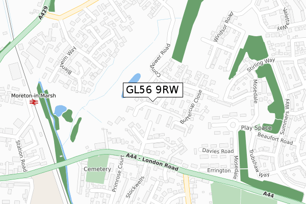
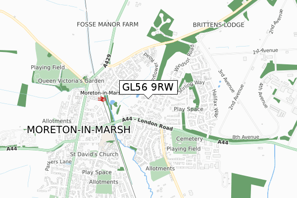
GL56 9RW maps


Source: OS Open Zoomstack (Ordnance Survey)
Licence: Open Government Licence (requires attribution)
Attribution: Contains OS data © Crown copyright and database right 2025
Source: Open Postcode GeoLicence: Open Government Licence (requires attribution)
Attribution: Contains OS data © Crown copyright and database right 2025; Contains Royal Mail data © Royal Mail copyright and database right 2025; Source: Office for National Statistics licensed under the Open Government Licence v.3.0
GL56 9RW geodata
| Easting | 421063 |
| Northing | 232688 |
| Latitude | 51.992257 |
| Longitude | -1.694646 |
Where is GL56 9RW?
| Country | England |
| Postcode District | GL56 |
Politics
| Ward | Moreton East |
|---|
| Constituency | The Cotswolds |
|---|
Transport
Nearest bus stops to GL56 9RW
| Stockwells School Stop | Moreton-in-marsh | 201m |
| Wellington Inn (London Road) | Moreton-in-marsh | 244m |
| Wellington Inn (London Road) | Moreton-in-marsh | 246m |
| Davies Road (Mosedale) | Moreton-in-marsh | 280m |
| Cotsmore Close (Evenlode Road) | Moreton-in-marsh | 308m |
Nearest railway stations to GL56 9RW
| Moreton-in-Marsh Station | 0.4km |
Broadband
Broadband access in GL56 9RW (2020 data)
| Percentage of properties with Next Generation Access | 100.0% |
| Percentage of properties with Superfast Broadband | 95.2% |
| Percentage of properties with Ultrafast Broadband | 0.0% |
| Percentage of properties with Full Fibre Broadband | 0.0% |
Superfast Broadband is between 30Mbps and 300Mbps
Ultrafast Broadband is > 300Mbps
Broadband speed in GL56 9RW (2019 data)
Download
| Median download speed | 23.0Mbps |
| Average download speed | 22.4Mbps |
| Maximum download speed | 36.50Mbps |
Upload
| Median upload speed | 2.5Mbps |
| Average upload speed | 2.7Mbps |
| Maximum upload speed | 5.32Mbps |
Broadband limitations in GL56 9RW (2020 data)
| Percentage of properties unable to receive 2Mbps | 0.0% |
| Percentage of properties unable to receive 5Mbps | 0.0% |
| Percentage of properties unable to receive 10Mbps | 0.0% |
| Percentage of properties unable to receive 30Mbps | 4.8% |
Deprivation
20.9% of English postcodes are less deprived than
GL56 9RW:
Food Standards Agency
Three nearest food hygiene ratings to GL56 9RW (metres)
Hobson And Zar
3 Fosseway Industrial Estate
428m
Moreton In Marsh Womens Institute
Grouch Coffee
➜ Get more ratings from the Food Standards Agency
Nearest post box to GL56 9RW
| | Last Collection | |
|---|
| Location | Mon-Fri | Sat | Distance |
|---|
| Todenham Road | 15:15 | 07:30 | 415m |
| Post Office | 17:30 | 11:00 | 484m |
| High Street | 17:00 | 10:45 | 629m |
GL56 9RW ITL and GL56 9RW LAU
The below table lists the International Territorial Level (ITL) codes (formerly Nomenclature of Territorial Units for Statistics (NUTS) codes) and Local Administrative Units (LAU) codes for GL56 9RW:
| ITL 1 Code | Name |
|---|
| TLK | South West (England) |
| ITL 2 Code | Name |
|---|
| TLK1 | Gloucestershire, Wiltshire and Bath/Bristol area |
| ITL 3 Code | Name |
|---|
| TLK13 | Gloucestershire CC |
| LAU 1 Code | Name |
|---|
| E07000079 | Cotswold |
GL56 9RW census areas
The below table lists the Census Output Area (OA), Lower Layer Super Output Area (LSOA), and Middle Layer Super Output Area (MSOA) for GL56 9RW:
| Code | Name |
|---|
| OA | E00112893 | |
|---|
| LSOA | E01022212 | Cotswold 002E |
|---|
| MSOA | E02004616 | Cotswold 002 |
|---|
Nearest postcodes to GL56 9RW


