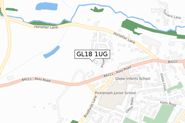
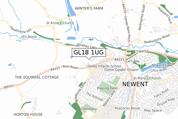
GL18 1UG is located in the Newent & Taynton electoral ward, within the local authority district of Forest of Dean and the English Parliamentary constituency of Forest of Dean. The Sub Integrated Care Board (ICB) Location is NHS Gloucestershire ICB - 11M and the police force is Gloucestershire. This postcode has been in use since October 2019.


GetTheData
Source: OS Open Zoomstack (Ordnance Survey)
Licence: Open Government Licence (requires attribution)
Attribution: Contains OS data © Crown copyright and database right 2025
Source: Open Postcode Geo
Licence: Open Government Licence (requires attribution)
Attribution: Contains OS data © Crown copyright and database right 2025; Contains Royal Mail data © Royal Mail copyright and database right 2025; Source: Office for National Statistics licensed under the Open Government Licence v.3.0
| Easting | 371531 |
| Northing | 226222 |
| Latitude | 51.933782 |
| Longitude | -2.415480 |
GetTheData
Source: Open Postcode Geo
Licence: Open Government Licence
| Country | England |
| Postcode District | GL18 |
➜ See where GL18 is on a map ➜ Where is Newent? | |
GetTheData
Source: Land Registry Price Paid Data
Licence: Open Government Licence
| Ward | Newent & Taynton |
| Constituency | Forest Of Dean |
GetTheData
Source: ONS Postcode Database
Licence: Open Government Licence
2022 7 NOV £430,000 |
4, HUDSON WALK, NEWENT, GL18 1UG 2021 2 AUG £503,000 |
3, HUDSON WALK, NEWENT, GL18 1UG 2021 21 MAY £394,995 |
8, HUDSON WALK, NEWENT, GL18 1UG 2020 26 OCT £404,995 |
10, HUDSON WALK, NEWENT, GL18 1UG 2020 24 JUL £282,995 |
2, HUDSON WALK, NEWENT, GL18 1UG 2020 27 MAR £283,495 |
2020 27 MAR £375,000 |
5, HUDSON WALK, NEWENT, GL18 1UG 2020 10 JAN £444,995 |
7, HUDSON WALK, NEWENT, GL18 1UG 2019 29 NOV £382,995 |
1, HUDSON WALK, NEWENT, GL18 1UG 2019 25 OCT £279,995 |
GetTheData
Source: HM Land Registry Price Paid Data
Licence: Contains HM Land Registry data © Crown copyright and database right 2025. This data is licensed under the Open Government Licence v3.0.
| Picklenash School (Ross Road) | Newent | 149m |
| Picklenash School (Ross Road) | Newent | 187m |
| Picklenash And Glebe School Grounds (Unnamed Area) | Newent | 197m |
| Kings Arms | Newent | 433m |
| Kings Arms | Newent | 449m |
GetTheData
Source: NaPTAN
Licence: Open Government Licence
GetTheData
Source: ONS Postcode Database
Licence: Open Government Licence

➜ Get more ratings from the Food Standards Agency
GetTheData
Source: Food Standards Agency
Licence: FSA terms & conditions
| Last Collection | |||
|---|---|---|---|
| Location | Mon-Fri | Sat | Distance |
| Lakeside | 17:15 | 08:00 | 527m |
| Watery Lane | 17:15 | 07:15 | 596m |
| Health Centre | 17:40 | 09:30 | 650m |
GetTheData
Source: Dracos
Licence: Creative Commons Attribution-ShareAlike
The below table lists the International Territorial Level (ITL) codes (formerly Nomenclature of Territorial Units for Statistics (NUTS) codes) and Local Administrative Units (LAU) codes for GL18 1UG:
| ITL 1 Code | Name |
|---|---|
| TLK | South West (England) |
| ITL 2 Code | Name |
| TLK1 | Gloucestershire, Wiltshire and Bath/Bristol area |
| ITL 3 Code | Name |
| TLK13 | Gloucestershire CC |
| LAU 1 Code | Name |
| E07000080 | Forest of Dean |
GetTheData
Source: ONS Postcode Directory
Licence: Open Government Licence
The below table lists the Census Output Area (OA), Lower Layer Super Output Area (LSOA), and Middle Layer Super Output Area (MSOA) for GL18 1UG:
| Code | Name | |
|---|---|---|
| OA | E00113196 | |
| LSOA | E01022267 | Forest of Dean 002C |
| MSOA | E02004627 | Forest of Dean 002 |
GetTheData
Source: ONS Postcode Directory
Licence: Open Government Licence
| GL18 1QY | Ross Road | 114m |
| GL18 1QX | Ross Road | 139m |
| GL18 1QT | Bradfords Lane | 171m |
| GL18 1RG | Horse Fair Lane | 176m |
| GL18 1BE | Ross Road | 221m |
| GL18 1BG | Ross Road | 276m |
| GL18 1QS | Bradfords Lane | 287m |
| GL18 1BJ | Glebe Road | 287m |
| GL18 1BL | Glebe Way | 303m |
| GL18 1TE | West View | 326m |
GetTheData
Source: Open Postcode Geo; Land Registry Price Paid Data
Licence: Open Government Licence