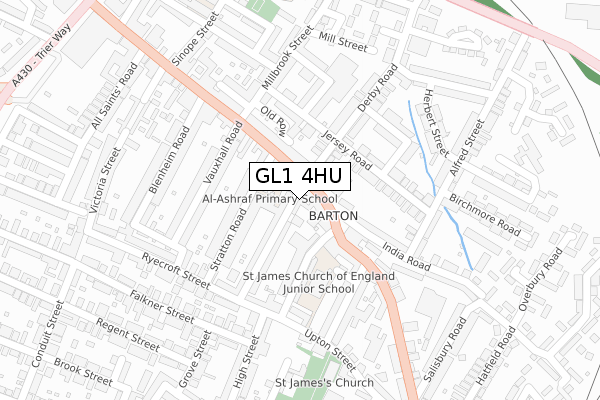
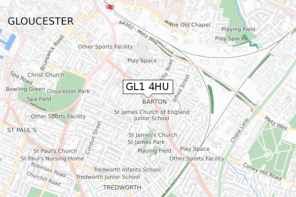
GL1 4HU is located in the Barton and Tredworth electoral ward, within the local authority district of Gloucester and the English Parliamentary constituency of Gloucester. The Sub Integrated Care Board (ICB) Location is NHS Gloucestershire ICB - 11M and the police force is Gloucestershire. This postcode has been in use since November 2017.


GetTheData
Source: OS Open Zoomstack (Ordnance Survey)
Licence: Open Government Licence (requires attribution)
Attribution: Contains OS data © Crown copyright and database right 2025
Source: Open Postcode Geo
Licence: Open Government Licence (requires attribution)
Attribution: Contains OS data © Crown copyright and database right 2025; Contains Royal Mail data © Royal Mail copyright and database right 2025; Source: Office for National Statistics licensed under the Open Government Licence v.3.0
| Easting | 384000 |
| Northing | 217813 |
| Latitude | 51.858677 |
| Longitude | -2.233729 |
GetTheData
Source: Open Postcode Geo
Licence: Open Government Licence
| Country | England |
| Postcode District | GL1 |
➜ See where GL1 is on a map ➜ Where is Gloucester? | |
GetTheData
Source: Land Registry Price Paid Data
Licence: Open Government Licence
| Ward | Barton And Tredworth |
| Constituency | Gloucester |
GetTheData
Source: ONS Postcode Database
Licence: Open Government Licence
| India Road (Barton Street) | Gloucester | 51m |
| India Road (Barton Street) | Gloucester | 53m |
| Picturedome Theatre (Barton Street) | Gloucester | 154m |
| Upton Street (High Street) | Tredworth | 213m |
| Upton Street (High Street) | Tredworth | 221m |
| Gloucester Station | 0.8km |
GetTheData
Source: NaPTAN
Licence: Open Government Licence
GetTheData
Source: ONS Postcode Database
Licence: Open Government Licence


➜ Get more ratings from the Food Standards Agency
GetTheData
Source: Food Standards Agency
Licence: FSA terms & conditions
| Last Collection | |||
|---|---|---|---|
| Location | Mon-Fri | Sat | Distance |
| Derby Road | 17:30 | 12:45 | 351m |
| Upton Street | 17:30 | 12:45 | 447m |
| Parkend Road | 17:30 | 12:30 | 553m |
GetTheData
Source: Dracos
Licence: Creative Commons Attribution-ShareAlike
The below table lists the International Territorial Level (ITL) codes (formerly Nomenclature of Territorial Units for Statistics (NUTS) codes) and Local Administrative Units (LAU) codes for GL1 4HU:
| ITL 1 Code | Name |
|---|---|
| TLK | South West (England) |
| ITL 2 Code | Name |
| TLK1 | Gloucestershire, Wiltshire and Bath/Bristol area |
| ITL 3 Code | Name |
| TLK13 | Gloucestershire CC |
| LAU 1 Code | Name |
| E07000081 | Gloucester |
GetTheData
Source: ONS Postcode Directory
Licence: Open Government Licence
The below table lists the Census Output Area (OA), Lower Layer Super Output Area (LSOA), and Middle Layer Super Output Area (MSOA) for GL1 4HU:
| Code | Name | |
|---|---|---|
| OA | E00113331 | |
| LSOA | E01022291 | Gloucester 005D |
| MSOA | E02004640 | Gloucester 005 |
GetTheData
Source: ONS Postcode Directory
Licence: Open Government Licence
| GL1 4HH | Barton Street | 25m |
| GL1 4HE | Barton Street | 45m |
| GL1 4AF | Derby Road | 88m |
| GL1 4HQ | Hopewell Street | 94m |
| GL1 4HG | Hopewell Street | 97m |
| GL1 4HY | Barton Street | 102m |
| GL1 4HD | Stratton Road | 103m |
| GL1 4JS | St James Street | 110m |
| GL1 4BA | Jersey Road | 115m |
| GL1 4HB | Stratton Road | 120m |
GetTheData
Source: Open Postcode Geo; Land Registry Price Paid Data
Licence: Open Government Licence