G72 7PN maps, stats, and open data
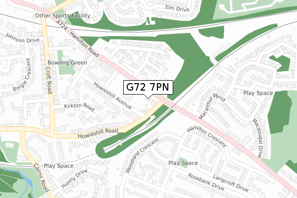
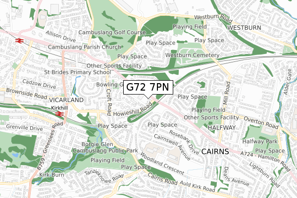
G72 7PN is located in the Cambuslang West electoral ward, within the council area of South Lanarkshire and the Scottish Parliamentary constituency of Rutherglen and Hamilton West. The Community Health Partnership is South Lanarkshire Community Health Partnership and the police force is Scotland. This postcode has been in use since May 2003.
G72 7PN maps


Licence: Open Government Licence (requires attribution)
Attribution: Contains OS data © Crown copyright and database right 2025
Source: Open Postcode Geo
Licence: Open Government Licence (requires attribution)
Attribution: Contains OS data © Crown copyright and database right 2025; Contains Royal Mail data © Royal Mail copyright and database right 2025; Source: Office for National Statistics licensed under the Open Government Licence v.3.0
G72 7PN geodata
| Easting | 265030 |
| Northing | 660116 |
| Latitude | 55.815383 |
| Longitude | -4.155534 |
Where is G72 7PN?
| Country | Scotland |
| Postcode District | G72 |
Politics
| Ward | Cambuslang West |
|---|---|
| Constituency | Rutherglen And Hamilton West |
Transport
Nearest bus stops to G72 7PN
| South Lanarkshire College (Hamilton Road) | Cambuslang | 109m |
| School Avenue (Hamilton Road) | Cambuslang | 158m |
| Woodland Crescent (Hamilton Crescent) | Cairns | 208m |
| Janebank Avenue (Hamilton Crescent) | Cairns | 214m |
| Hamilton Crescent (Hamilton Road) | Halfway | 244m |
Nearest railway stations to G72 7PN
| Kirkhill Station | 0.7km |
| Cambuslang Station | 1.2km |
| Newton (S Lanarks) Station | 1.5km |
Broadband
Broadband access in G72 7PN (2020 data)
| Percentage of properties with Next Generation Access | 100.0% |
| Percentage of properties with Superfast Broadband | 100.0% |
| Percentage of properties with Ultrafast Broadband | 0.0% |
| Percentage of properties with Full Fibre Broadband | 0.0% |
Superfast Broadband is between 30Mbps and 300Mbps
Ultrafast Broadband is > 300Mbps
Broadband limitations in G72 7PN (2020 data)
| Percentage of properties unable to receive 2Mbps | 0.0% |
| Percentage of properties unable to receive 5Mbps | 0.0% |
| Percentage of properties unable to receive 10Mbps | 0.0% |
| Percentage of properties unable to receive 30Mbps | 0.0% |
Deprivation
83.3% of Scottish postcodes are less deprived than G72 7PN:Food Standards Agency
Three nearest food hygiene information scheme ratings to G72 7PN (metres)


➜ Get more ratings from the Food Standards Agency
Nearest post box to G72 7PN
| Last Collection | |||
|---|---|---|---|
| Location | Mon-Fri | Sat | Distance |
| Greenlees Road | 17:00 | 11:30 | 622m |
| Fullerton Road | 17:45 | 12:15 | 2,118m |
| Redlawood Road | 17:00 | 12:00 | 2,125m |
G72 7PN ITL and G72 7PN LAU
The below table lists the International Territorial Level (ITL) codes (formerly Nomenclature of Territorial Units for Statistics (NUTS) codes) and Local Administrative Units (LAU) codes for G72 7PN:
| ITL 1 Code | Name |
|---|---|
| TLM | Scotland |
| ITL 2 Code | Name |
| TLM9 | Southern Scotland |
| ITL 3 Code | Name |
| TLM95 | South Lanarkshire |
| LAU 1 Code | Name |
| S30000025 | South Lanarkshire |
G72 7PN census areas
The below table lists the Census Output Area (OA), Lower Layer Super Output Area (LSOA), and Middle Layer Super Output Area (MSOA) for G72 7PN:
| Code | Name | |
|---|---|---|
| OA | S00130264 | |
| LSOA | S01012834 | Vicarland and Cairns - 05 |
| MSOA | S02002404 | Vicarland and Cairns |