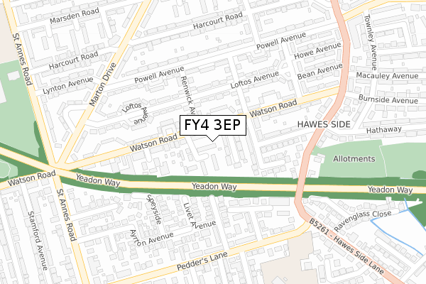
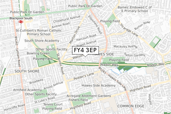
FY4 3EP is located in the Hawes Side electoral ward, within the unitary authority of Blackpool and the English Parliamentary constituency of Blackpool South. The Sub Integrated Care Board (ICB) Location is NHS Lancashire and South Cumbria ICB - 00R and the police force is Lancashire. This postcode has been in use since October 2019.


GetTheData
Source: OS Open Zoomstack (Ordnance Survey)
Licence: Open Government Licence (requires attribution)
Attribution: Contains OS data © Crown copyright and database right 2025
Source: Open Postcode Geo
Licence: Open Government Licence (requires attribution)
Attribution: Contains OS data © Crown copyright and database right 2025; Contains Royal Mail data © Royal Mail copyright and database right 2025; Source: Office for National Statistics licensed under the Open Government Licence v.3.0
| Easting | 331928 |
| Northing | 433503 |
| Latitude | 53.793380 |
| Longitude | -3.034835 |
GetTheData
Source: Open Postcode Geo
Licence: Open Government Licence
| Country | England |
| Postcode District | FY4 |
➜ See where FY4 is on a map ➜ Where is Blackpool? | |
GetTheData
Source: Land Registry Price Paid Data
Licence: Open Government Licence
| Ward | Hawes Side |
| Constituency | Blackpool South |
GetTheData
Source: ONS Postcode Database
Licence: Open Government Licence
| Sowerby Avenue (Watson Road) | Hawes Side | 86m |
| Sowerby Avenue (Watson Road) | Hawes Side | 139m |
| St Annes Road (Watson Road) | Hawes Side | 287m |
| Pedders Lane (Hawes Side Lane) | Highfield | 315m |
| Pedders Lane (Hawes Side Lane) | Highfield | 322m |
| South Pier (Blackpool Tramway) (Promenade) | South Shore | 1,446m |
| Pleasure Beach (Blackpool Tramway) (Promenade) | South Shore | 1,458m |
| Waterloo Road (Blackpool Tramway) (Waterloo Road) | Bloomfield | 1,524m |
| St Chad's (Blackpool Tramway) (St Chads Road) | Bloomfield | 1,698m |
| Blackpool South Station | 1.1km |
| Blackpool Pleasure Beach Station | 1.4km |
| Squires Gate Station | 2.1km |
GetTheData
Source: NaPTAN
Licence: Open Government Licence
GetTheData
Source: ONS Postcode Database
Licence: Open Government Licence


➜ Get more ratings from the Food Standards Agency
GetTheData
Source: Food Standards Agency
Licence: FSA terms & conditions
| Last Collection | |||
|---|---|---|---|
| Location | Mon-Fri | Sat | Distance |
| Renwick Avenue | 17:00 | 11:30 | 85m |
| Ayrton Avenue | 17:00 | 11:30 | 374m |
| Molyneux Drive | 16:30 | 11:45 | 402m |
GetTheData
Source: Dracos
Licence: Creative Commons Attribution-ShareAlike
The below table lists the International Territorial Level (ITL) codes (formerly Nomenclature of Territorial Units for Statistics (NUTS) codes) and Local Administrative Units (LAU) codes for FY4 3EP:
| ITL 1 Code | Name |
|---|---|
| TLD | North West (England) |
| ITL 2 Code | Name |
| TLD4 | Lancashire |
| ITL 3 Code | Name |
| TLD42 | Blackpool |
| LAU 1 Code | Name |
| E06000009 | Blackpool |
GetTheData
Source: ONS Postcode Directory
Licence: Open Government Licence
The below table lists the Census Output Area (OA), Lower Layer Super Output Area (LSOA), and Middle Layer Super Output Area (MSOA) for FY4 3EP:
| Code | Name | |
|---|---|---|
| OA | E00064002 | |
| LSOA | E01012698 | Blackpool 016E |
| MSOA | E02002648 | Blackpool 016 |
GetTheData
Source: ONS Postcode Directory
Licence: Open Government Licence
| FY4 3EH | Sowerby Avenue | 67m |
| FY4 3EE | Watson Road | 84m |
| FY4 3HB | Renwick Avenue | 116m |
| FY4 3HT | Livet Avenue | 116m |
| FY4 3EJ | Hurstmere Avenue | 121m |
| FY4 3EQ | Oak Avenue | 124m |
| FY4 3EW | Watson Road | 125m |
| FY4 3HS | Taybank Avenue | 135m |
| FY4 3JW | Darley Avenue | 138m |
| FY4 2BS | Speyside | 163m |
GetTheData
Source: Open Postcode Geo; Land Registry Price Paid Data
Licence: Open Government Licence