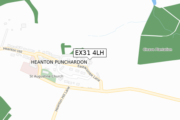
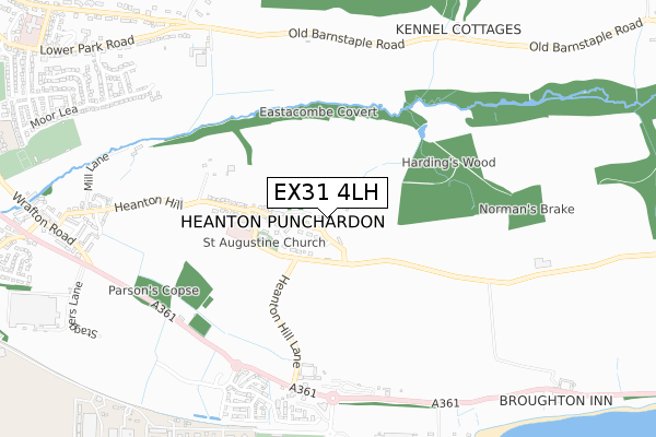
EX31 4LH maps, stats, and open data
EX31 4LH is located in the Heanton Punchardon electoral ward, within the local authority district of North Devon and the English Parliamentary constituency of North Devon. The Sub Integrated Care Board (ICB) Location is NHS Devon ICB - 15N and the police force is Devon & Cornwall. This postcode has been in use since September 2017.
EX31 4LH maps


Licence: Open Government Licence (requires attribution)
Attribution: Contains OS data © Crown copyright and database right 2025
Source: Open Postcode Geo
Licence: Open Government Licence (requires attribution)
Attribution: Contains OS data © Crown copyright and database right 2025; Contains Royal Mail data © Royal Mail copyright and database right 2025; Source: Office for National Statistics licensed under the Open Government Licence v.3.0
EX31 4LH geodata
| Easting | 250462 |
| Northing | 135653 |
| Latitude | 51.100622 |
| Longitude | -4.137161 |
Where is EX31 4LH?
| Country | England |
| Postcode District | EX31 |
Politics
| Ward | Heanton Punchardon |
|---|---|
| Constituency | North Devon |
Transport
Nearest bus stops to EX31 4LH
| Telephone Box (Heanton Hill) | Heanton Punchardon | 310m |
| Telephone Box (Heanton Hill) | Heanton Punchardon | 316m |
| The Landings (A361) | Chivenor | 640m |
| The Landings (A361) | Chivenor | 644m |
| Caravan Park (A361) | Chivenor | 681m |
Broadband
Broadband access in EX31 4LH (2020 data)
| Percentage of properties with Next Generation Access | 100.0% |
| Percentage of properties with Superfast Broadband | 100.0% |
| Percentage of properties with Ultrafast Broadband | 0.0% |
| Percentage of properties with Full Fibre Broadband | 0.0% |
Superfast Broadband is between 30Mbps and 300Mbps
Ultrafast Broadband is > 300Mbps
Broadband limitations in EX31 4LH (2020 data)
| Percentage of properties unable to receive 2Mbps | 0.0% |
| Percentage of properties unable to receive 5Mbps | 0.0% |
| Percentage of properties unable to receive 10Mbps | 0.0% |
| Percentage of properties unable to receive 30Mbps | 0.0% |
Deprivation
27.6% of English postcodes are less deprived than EX31 4LH:Food Standards Agency
Three nearest food hygiene ratings to EX31 4LH (metres)


➜ Get more ratings from the Food Standards Agency
Nearest post box to EX31 4LH
| Last Collection | |||
|---|---|---|---|
| Location | Mon-Fri | Sat | Distance |
| Caen Street | 17:30 | 12:15 | 2,009m |
| Caen Street | 17:30 | 12:00 | 2,010m |
| South Street | 17:15 | 10:00 | 2,072m |
EX31 4LH ITL and EX31 4LH LAU
The below table lists the International Territorial Level (ITL) codes (formerly Nomenclature of Territorial Units for Statistics (NUTS) codes) and Local Administrative Units (LAU) codes for EX31 4LH:
| ITL 1 Code | Name |
|---|---|
| TLK | South West (England) |
| ITL 2 Code | Name |
| TLK4 | Devon |
| ITL 3 Code | Name |
| TLK43 | Devon CC |
| LAU 1 Code | Name |
| E07000043 | North Devon |
EX31 4LH census areas
The below table lists the Census Output Area (OA), Lower Layer Super Output Area (LSOA), and Middle Layer Super Output Area (MSOA) for EX31 4LH:
| Code | Name | |
|---|---|---|
| OA | E00101838 | |
| LSOA | E01020110 | North Devon 005E |
| MSOA | E02004179 | North Devon 005 |
Nearest postcodes to EX31 4LH
| EX31 4DG | 114m | |
| EX31 4DH | Woodland View | 341m |
| EX31 4DQ | 366m | |
| EX31 4BX | Heanton Lea | 611m |
| EX31 4AS | Old School Houses | 706m |
| EX31 4BN | 716m | |
| EX33 2DF | Mill Lane | 781m |
| EX33 2DG | Dunns Close | 871m |
| EX31 4DF | 881m | |
| EX33 2DQ | Rectory Close | 886m |