EX2 7SP maps, stats, and open data
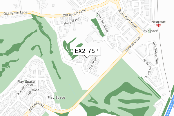
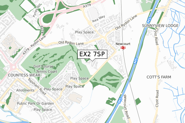
EX2 7SP is located in the Topsham electoral ward, within the local authority district of Exeter and the English Parliamentary constituency of East Devon. The Sub Integrated Care Board (ICB) Location is NHS Devon ICB - 15N and the police force is Devon & Cornwall. This postcode has been in use since June 2019.
EX2 7SP maps


Licence: Open Government Licence (requires attribution)
Attribution: Contains OS data © Crown copyright and database right 2025
Source: Open Postcode Geo
Licence: Open Government Licence (requires attribution)
Attribution: Contains OS data © Crown copyright and database right 2025; Contains Royal Mail data © Royal Mail copyright and database right 2025; Source: Office for National Statistics licensed under the Open Government Licence v.3.0
EX2 7SP geodata
| Easting | 295695 |
| Northing | 90104 |
| Latitude | 50.701181 |
| Longitude | -3.478370 |
Where is EX2 7SP?
| Country | England |
| Postcode District | EX2 |
Politics
| Ward | Topsham |
|---|---|
| Constituency | East Devon |
House Prices
Sales of detached houses in EX2 7SP
2021 29 OCT £880,000 |
2019 29 NOV £695,000 |
3, CATHERINES CLOSE, EXETER, EX2 7SP 2019 15 NOV £625,000 |
5, CATHERINES CLOSE, EXETER, EX2 7SP 2019 1 NOV £565,000 |
Licence: Contains HM Land Registry data © Crown copyright and database right 2025. This data is licensed under the Open Government Licence v3.0.
Transport
Nearest bus stops to EX2 7SP
| Omaha Drive | Countess Wear | 198m |
| Omaha Drive | Countess Wear | 200m |
| River Plate Road | Countess Wear | 324m |
| River Plate Road | Countess Wear | 334m |
| Newcourt Way | Countess Wear | 404m |
Nearest railway stations to EX2 7SP
| Newcourt Station | 0.6km |
| Digby & Sowton Station | 1.5km |
| Topsham Station | 1.9km |
Broadband
Broadband access in EX2 7SP (2020 data)
| Percentage of properties with Next Generation Access | 100.0% |
| Percentage of properties with Superfast Broadband | 100.0% |
| Percentage of properties with Ultrafast Broadband | 100.0% |
| Percentage of properties with Full Fibre Broadband | 100.0% |
Superfast Broadband is between 30Mbps and 300Mbps
Ultrafast Broadband is > 300Mbps
Broadband limitations in EX2 7SP (2020 data)
| Percentage of properties unable to receive 2Mbps | 0.0% |
| Percentage of properties unable to receive 5Mbps | 0.0% |
| Percentage of properties unable to receive 10Mbps | 0.0% |
| Percentage of properties unable to receive 30Mbps | 0.0% |
Deprivation
17.5% of English postcodes are less deprived than EX2 7SP:Food Standards Agency
Three nearest food hygiene ratings to EX2 7SP (metres)


➜ Get more ratings from the Food Standards Agency
Nearest post box to EX2 7SP
| Last Collection | |||
|---|---|---|---|
| Location | Mon-Fri | Sat | Distance |
| Tesco | 18:30 | 13:15 | 516m |
| Old Rydon Lane | 18:15 | 12:30 | 554m |
| Higher Wear Road | 18:15 | 11:45 | 778m |
EX2 7SP ITL and EX2 7SP LAU
The below table lists the International Territorial Level (ITL) codes (formerly Nomenclature of Territorial Units for Statistics (NUTS) codes) and Local Administrative Units (LAU) codes for EX2 7SP:
| ITL 1 Code | Name |
|---|---|
| TLK | South West (England) |
| ITL 2 Code | Name |
| TLK4 | Devon |
| ITL 3 Code | Name |
| TLK43 | Devon CC |
| LAU 1 Code | Name |
| E07000041 | Exeter |
EX2 7SP census areas
The below table lists the Census Output Area (OA), Lower Layer Super Output Area (LSOA), and Middle Layer Super Output Area (MSOA) for EX2 7SP:
| Code | Name | |
|---|---|---|
| OA | E00101409 | |
| LSOA | E01020035 | Exeter 011D |
| MSOA | E02004159 | Exeter 011 |
Nearest postcodes to EX2 7SP
| EX2 7JQ | Newcourt Drive | 195m |
| EX2 7AU | Batavia Drive | 195m |
| EX2 7JE | Holland Park | 218m |
| EX2 7AT | Caroline Avenue | 226m |
| EX2 7AX | Robert Davy Road | 261m |
| EX2 7AY | Omaha Drive | 269m |
| EX2 7GR | Endeavour Avenue | 288m |
| EX2 7GQ | Mountbatten Drive | 289m |
| EX2 7FJ | Jutland Way | 289m |
| EX2 7JU | Holland Park | 293m |