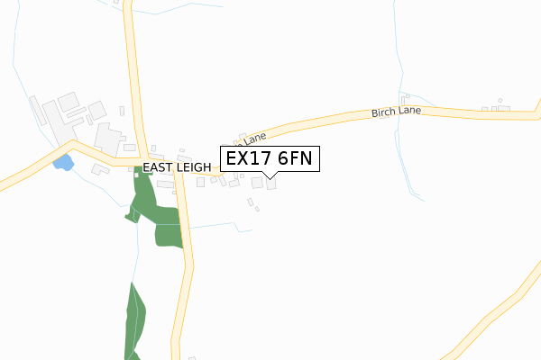
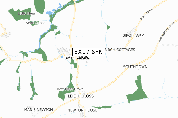
EX17 6FN is located in the Upper Yeo & Taw electoral ward, within the local authority district of Mid Devon and the English Parliamentary constituency of Central Devon. The Sub Integrated Care Board (ICB) Location is NHS Devon ICB - 15N and the police force is Devon & Cornwall. This postcode has been in use since July 2019.


GetTheData
Source: OS Open Zoomstack (Ordnance Survey)
Licence: Open Government Licence (requires attribution)
Attribution: Contains OS data © Crown copyright and database right 2025
Source: Open Postcode Geo
Licence: Open Government Licence (requires attribution)
Attribution: Contains OS data © Crown copyright and database right 2025; Contains Royal Mail data © Royal Mail copyright and database right 2025; Source: Office for National Statistics licensed under the Open Government Licence v.3.0
| Easting | 270034 |
| Northing | 105267 |
| Latitude | 50.832295 |
| Longitude | -3.846924 |
GetTheData
Source: Open Postcode Geo
Licence: Open Government Licence
| Country | England |
| Postcode District | EX17 |
➜ See where EX17 is on a map ➜ Where is East Leigh? | |
GetTheData
Source: Land Registry Price Paid Data
Licence: Open Government Licence
| Ward | Upper Yeo & Taw |
| Constituency | Central Devon |
GetTheData
Source: ONS Postcode Database
Licence: Open Government Licence
| Chapel (Aller Bridge) | Nymet Rowland | 1,555m |
| Chapel (Aller Bridge) | Nymet Rowland | 1,565m |
| Lapford Station | 3.8km |
| Morchard Road Station | 5km |
GetTheData
Source: NaPTAN
Licence: Open Government Licence
GetTheData
Source: ONS Postcode Database
Licence: Open Government Licence
| Last Collection | |||
|---|---|---|---|
| Location | Mon-Fri | Sat | Distance |
| Zeal Monachorum | 16:30 | 09:30 | 2,358m |
| Burstone | 15:30 | 08:00 | 3,104m |
| Arundell Road | 16:00 | 08:30 | 5,042m |
GetTheData
Source: Dracos
Licence: Creative Commons Attribution-ShareAlike
The below table lists the International Territorial Level (ITL) codes (formerly Nomenclature of Territorial Units for Statistics (NUTS) codes) and Local Administrative Units (LAU) codes for EX17 6FN:
| ITL 1 Code | Name |
|---|---|
| TLK | South West (England) |
| ITL 2 Code | Name |
| TLK4 | Devon |
| ITL 3 Code | Name |
| TLK43 | Devon CC |
| LAU 1 Code | Name |
| E07000042 | Mid Devon |
GetTheData
Source: ONS Postcode Directory
Licence: Open Government Licence
The below table lists the Census Output Area (OA), Lower Layer Super Output Area (LSOA), and Middle Layer Super Output Area (MSOA) for EX17 6FN:
| Code | Name | |
|---|---|---|
| OA | E00101633 | |
| LSOA | E01020072 | Mid Devon 009A |
| MSOA | E02004172 | Mid Devon 009 |
GetTheData
Source: ONS Postcode Directory
Licence: Open Government Licence
| EX17 6BQ | 197m | |
| EX17 6BG | 245m | |
| EX17 6BJ | 323m | |
| EX17 6LJ | 486m | |
| EX17 6LH | 748m | |
| EX17 6LG | 1347m | |
| EX17 6BD | Allerbridge | 1575m |
| EX17 6LF | 1689m | |
| EX17 6BW | Frogberry Cross | 1849m |
| EX17 6BN | Southmoor | 1853m |
GetTheData
Source: Open Postcode Geo; Land Registry Price Paid Data
Licence: Open Government Licence