Property/Postcode Data Search:
EN9 1FQ maps, stats, and open data
EN9 1FQ is located in the Waltham Abbey South West electoral ward, within the local authority district of Epping Forest and the English Parliamentary constituency of Epping Forest. The Sub Integrated Care Board (ICB) Location is NHS Hertfordshire and West Essex ICB - 07H and the police force is Essex. This postcode has been in use since September 2019.
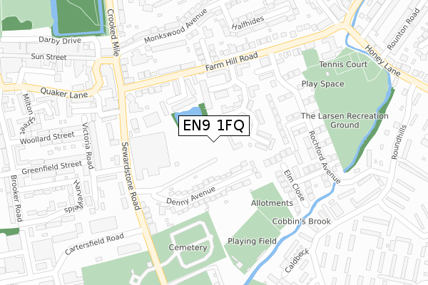
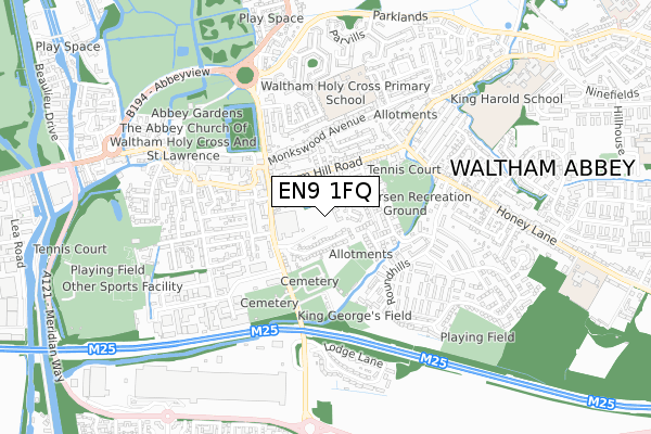
EN9 1FQ maps


Source: OS Open Zoomstack (Ordnance Survey)
Licence: Open Government Licence (requires attribution)
Attribution: Contains OS data © Crown copyright and database right 2025
Source: Open Postcode Geo
Licence: Open Government Licence (requires attribution)
Attribution: Contains OS data © Crown copyright and database right 2025; Contains Royal Mail data © Royal Mail copyright and database right 2025; Source: Office for National Statistics licensed under the Open Government Licence v.3.0
Licence: Open Government Licence (requires attribution)
Attribution: Contains OS data © Crown copyright and database right 2025
Source: Open Postcode Geo
Licence: Open Government Licence (requires attribution)
Attribution: Contains OS data © Crown copyright and database right 2025; Contains Royal Mail data © Royal Mail copyright and database right 2025; Source: Office for National Statistics licensed under the Open Government Licence v.3.0
EN9 1FQ geodata
| Easting | 538688 |
| Northing | 200386 |
| Latitude | 51.685116 |
| Longitude | 0.004820 |
Where is EN9 1FQ?
| Country | England |
| Postcode District | EN9 |
Politics
| Ward | Waltham Abbey South West |
|---|---|
| Constituency | Epping Forest |
Transport
Nearest bus stops to EN9 1FQ
| Braddon House (Farm Hill Road) | Waltham Abbey | 149m |
| Braddon House (Farm Hill Road) | Waltham Abbey | 163m |
| Farm Hill Road | Waltham Abbey | 216m |
| The Sultan (Sewardstone Road) | Waltham Abbey | 219m |
| The Sultan (Sewardstone Road) | Waltham Abbey | 248m |
Nearest railway stations to EN9 1FQ
| Waltham Cross Station | 2.2km |
| Enfield Lock Station | 2.8km |
| Cheshunt Station | 2.8km |
Deprivation
58% of English postcodes are less deprived than EN9 1FQ:Food Standards Agency
Three nearest food hygiene ratings to EN9 1FQ (metres)
greengold

Greengold Unit 10
184m
Mr Mel

Abbey Filling Station
187m
Waltham Abbey Express

1 Farm Hill Road
190m
➜ Get more ratings from the Food Standards Agency
Nearest post box to EN9 1FQ
| Last Collection | |||
|---|---|---|---|
| Location | Mon-Fri | Sat | Distance |
| Waltham Abbey P.o | 18:30 | 12:00 | 443m |
| Windmill Close (Patmore Rd) | 16:30 | 11:30 | 637m |
| Greenyard | 17:30 | 11:30 | 656m |
EN9 1FQ ITL and EN9 1FQ LAU
The below table lists the International Territorial Level (ITL) codes (formerly Nomenclature of Territorial Units for Statistics (NUTS) codes) and Local Administrative Units (LAU) codes for EN9 1FQ:
| ITL 1 Code | Name |
|---|---|
| TLH | East |
| ITL 2 Code | Name |
| TLH3 | Essex |
| ITL 3 Code | Name |
| TLH35 | West Essex |
| LAU 1 Code | Name |
| E07000072 | Epping Forest |
EN9 1FQ census areas
The below table lists the Census Output Area (OA), Lower Layer Super Output Area (LSOA), and Middle Layer Super Output Area (MSOA) for EN9 1FQ:
| Code | Name | |
|---|---|---|
| OA | E00110842 | |
| LSOA | E01021818 | Epping Forest 009C |
| MSOA | E02004535 | Epping Forest 009 |
Nearest postcodes to EN9 1FQ
| EN9 1XB | Howard Close | 33m |
| EN9 1XD | Howard Close | 59m |
| EN9 1XA | Howard Close | 103m |
| EN9 1NS | Denny Avenue | 104m |
| EN9 1XE | Howard Business Park | 128m |
| EN9 1NW | Joyce Court | 132m |
| EN9 1SG | Cedar Walk | 143m |
| EN9 1NT | Denny Avenue | 159m |
| EN9 1XG | Howard Close | 163m |
| EN9 1SF | Cypress Close | 171m |