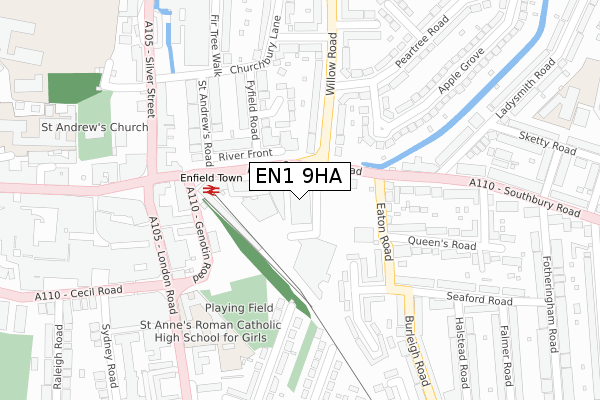
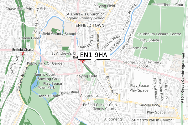
EN1 9HA is located in the Town electoral ward, within the London borough of Enfield and the English Parliamentary constituency of Enfield North. The Sub Integrated Care Board (ICB) Location is NHS North Central London ICB - 93C and the police force is Metropolitan Police. This postcode has been in use since January 2020.


GetTheData
Source: OS Open Zoomstack (Ordnance Survey)
Licence: Open Government Licence (requires attribution)
Attribution: Contains OS data © Crown copyright and database right 2025
Source: Open Postcode Geo
Licence: Open Government Licence (requires attribution)
Attribution: Contains OS data © Crown copyright and database right 2025; Contains Royal Mail data © Royal Mail copyright and database right 2025; Source: Office for National Statistics licensed under the Open Government Licence v.3.0
| Easting | 533124 |
| Northing | 196542 |
| Latitude | 51.651918 |
| Longitude | -0.077079 |
GetTheData
Source: Open Postcode Geo
Licence: Open Government Licence
| Country | England |
| Postcode District | EN1 |
➜ See where EN1 is on a map ➜ Where is London? | |
GetTheData
Source: Land Registry Price Paid Data
Licence: Open Government Licence
| Ward | Town |
| Constituency | Enfield North |
GetTheData
Source: ONS Postcode Database
Licence: Open Government Licence
| Enfield Town Station (Southbury Road) | Enfield Town | 83m |
| Enfield Town Station (Southbury Road) | Enfield Town | 98m |
| Enfield Town Station (Southbury Road) | Enfield Town | 119m |
| Enfield Town Station (Southbury Road) | Enfield Town | 122m |
| Southbury Road Enfield Town | Enfield Town | 132m |
| Enfield Town Station | 0.2km |
| Enfield Chase Station | 1km |
| Bush Hill Park Station | 1.3km |
GetTheData
Source: NaPTAN
Licence: Open Government Licence
GetTheData
Source: ONS Postcode Database
Licence: Open Government Licence


➜ Get more ratings from the Food Standards Agency
GetTheData
Source: Food Standards Agency
Licence: FSA terms & conditions
| Last Collection | |||
|---|---|---|---|
| Location | Mon-Fri | Sat | Distance |
| Town Station | 19:00 | 12:00 | 131m |
| Enfield Town Station | 131m | ||
| London Road P.o. | 18:30 | 12:00 | 164m |
GetTheData
Source: Dracos
Licence: Creative Commons Attribution-ShareAlike
The below table lists the International Territorial Level (ITL) codes (formerly Nomenclature of Territorial Units for Statistics (NUTS) codes) and Local Administrative Units (LAU) codes for EN1 9HA:
| ITL 1 Code | Name |
|---|---|
| TLI | London |
| ITL 2 Code | Name |
| TLI5 | Outer London - East and North East |
| ITL 3 Code | Name |
| TLI54 | Enfield |
| LAU 1 Code | Name |
| E09000010 | Enfield |
GetTheData
Source: ONS Postcode Directory
Licence: Open Government Licence
The below table lists the Census Output Area (OA), Lower Layer Super Output Area (LSOA), and Middle Layer Super Output Area (MSOA) for EN1 9HA:
| Code | Name | |
|---|---|---|
| OA | E00007528 | |
| LSOA | E01001512 | Enfield 015D |
| MSOA | E02000291 | Enfield 015 |
GetTheData
Source: ONS Postcode Directory
Licence: Open Government Licence
| EN1 1GF | Dunstan Mews | 66m |
| EN1 1RT | Savoy Parade | 69m |
| EN1 1FY | Colman Parade | 86m |
| EN1 1GU | Eaton Road | 125m |
| EN1 3AP | Willow Road | 139m |
| EN1 3TL | Fyfield Road | 144m |
| EN1 1NA | Eaton Road | 145m |
| EN1 1NP | Beresford Gardens | 151m |
| EN1 2AW | Genotin Road | 161m |
| EN1 3TS | Calder Close | 162m |
GetTheData
Source: Open Postcode Geo; Land Registry Price Paid Data
Licence: Open Government Licence