E3 4YE maps, stats, and open data
- Home
- Postcode
- E
- E3
- E3 4
E3 4YE is located in the Mile End electoral ward, within the London borough of Tower Hamlets and the English Parliamentary constituency of Poplar and Limehouse. The Sub Integrated Care Board (ICB) Location is NHS North East London ICB - A3A8R and the police force is Metropolitan Police. This postcode has been in use since December 2017.
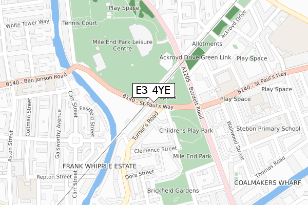
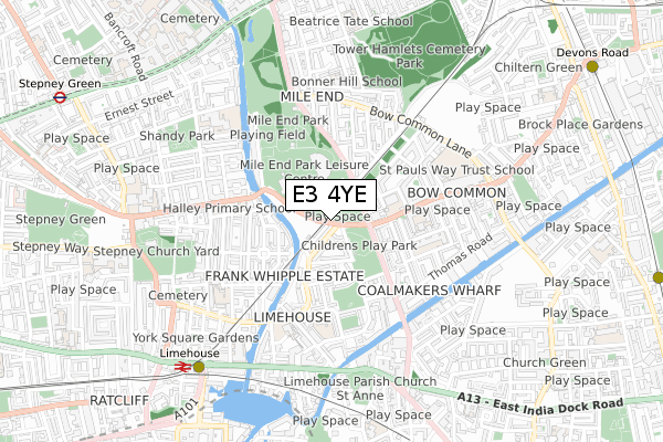
E3 4YE maps


Source: OS Open Zoomstack (Ordnance Survey)
Licence: Open Government Licence (requires attribution)
Attribution: Contains OS data © Crown copyright and database right 2025
Source: Open Postcode GeoLicence: Open Government Licence (requires attribution)
Attribution: Contains OS data © Crown copyright and database right 2025; Contains Royal Mail data © Royal Mail copyright and database right 2025; Source: Office for National Statistics licensed under the Open Government Licence v.3.0
E3 4YE geodata
| Easting | 536657 |
| Northing | 181671 |
| Latitude | 51.517439 |
| Longitude | -0.031825 |
Where is E3 4YE?
| Country | England |
| Postcode District | E3 |
Politics
| Ward | Mile End |
|---|
| Constituency | Poplar And Limehouse |
|---|
Transport
Nearest bus stops to E3 4YE
| Turners Road | Limehouse | 122m |
| St Paul's Way (Burdett Road) | Limehouse | 137m |
| Copperfield Road | Limehouse | 159m |
| St Paul's Way | Limehouse | 184m |
| Copperfield Road (Rhodeswell Road) | Limehouse | 200m |
Nearest underground/metro/tram to E3 4YE
| Limehouse Dlr Station (Commercial Road) | Limehouse | 787m |
| Mile End Underground Station | Mile End | 864m |
| Westferry Dlr Station (Westferry Road) | Westferry | 959m |
| Stepney Green Underground Station | Stepney Green | 1,135m |
| Devons Road Dlr Station (Devons Road) | Devons Road | 1,146m |
Nearest railway stations to E3 4YE
| Limehouse Station | 0.8km |
| Shadwell Station | 1.9km |
| Whitechapel Station | 1.9km |
Broadband
Broadband access in E3 4YE (2020 data)
| Percentage of properties with Next Generation Access | 100.0% |
| Percentage of properties with Superfast Broadband | 100.0% |
| Percentage of properties with Ultrafast Broadband | 0.0% |
| Percentage of properties with Full Fibre Broadband | 0.0% |
Superfast Broadband is between 30Mbps and 300Mbps
Ultrafast Broadband is > 300Mbps
Broadband speed in E3 4YE (2019 data)
Download
| Median download speed | 20.3Mbps |
| Average download speed | 27.2Mbps |
| Maximum download speed | 60.80Mbps |
Upload
| Median upload speed | 1.2Mbps |
| Average upload speed | 3.7Mbps |
| Maximum upload speed | 8.30Mbps |
Broadband limitations in E3 4YE (2020 data)
| Percentage of properties unable to receive 2Mbps | 0.0% |
| Percentage of properties unable to receive 5Mbps | 0.0% |
| Percentage of properties unable to receive 10Mbps | 0.0% |
| Percentage of properties unable to receive 30Mbps | 0.0% |
Deprivation
84.2% of English postcodes are less deprived than
E3 4YE:
Food Standards Agency
Three nearest food hygiene ratings to E3 4YE (metres)
St Paul with St Luke CofE Primary School Kitchen
St Pauls With St Lukes School
184m
Mile End Park Leisure Centre
Mile End Leisure Centre
223m
Osterly Ltd
Flat 12 Bresslaw Court
230m
➜ Get more ratings from the Food Standards Agency
Nearest post box to E3 4YE
| | Last Collection | |
|---|
| Location | Mon-Fri | Sat | Distance |
|---|
| Dora Street | 17:30 | 11:30 | 226m |
| Burdett Road | 17:30 | 11:30 | 231m |
| 127 Salmon Lane E14 | 17:30 | 12:00 | 443m |
E3 4YE ITL and E3 4YE LAU
The below table lists the International Territorial Level (ITL) codes (formerly Nomenclature of Territorial Units for Statistics (NUTS) codes) and Local Administrative Units (LAU) codes for E3 4YE:
| ITL 1 Code | Name |
|---|
| TLI | London |
| ITL 2 Code | Name |
|---|
| TLI4 | Inner London - East |
| ITL 3 Code | Name |
|---|
| TLI42 | Tower Hamlets |
| LAU 1 Code | Name |
|---|
| E09000030 | Tower Hamlets |
E3 4YE census areas
The below table lists the Census Output Area (OA), Lower Layer Super Output Area (LSOA), and Middle Layer Super Output Area (MSOA) for E3 4YE:
| Code | Name |
|---|
| OA | E00021494 | |
|---|
| LSOA | E01004273 | Tower Hamlets 014E |
|---|
| MSOA | E02000877 | Tower Hamlets 014 |
|---|
Nearest postcodes to E3 4YE


