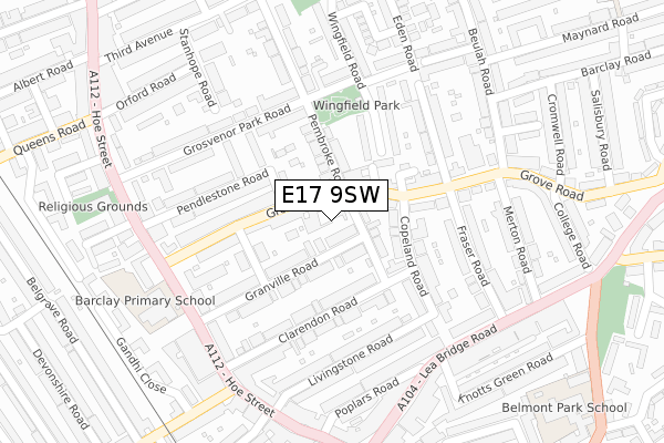
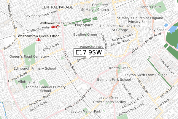
E17 9SW is located in the Hoe Street electoral ward, within the London borough of Waltham Forest and the English Parliamentary constituency of Walthamstow. The Sub Integrated Care Board (ICB) Location is NHS North East London ICB - A3A8R and the police force is Metropolitan Police. This postcode has been in use since April 2019.


GetTheData
Source: OS Open Zoomstack (Ordnance Survey)
Licence: Open Government Licence (requires attribution)
Attribution: Contains OS data © Crown copyright and database right 2025
Source: Open Postcode Geo
Licence: Open Government Licence (requires attribution)
Attribution: Contains OS data © Crown copyright and database right 2025; Contains Royal Mail data © Royal Mail copyright and database right 2025; Source: Office for National Statistics licensed under the Open Government Licence v.3.0
| Easting | 537757 |
| Northing | 188512 |
| Latitude | 51.578646 |
| Longitude | -0.013305 |
GetTheData
Source: Open Postcode Geo
Licence: Open Government Licence
| Country | England |
| Postcode District | E17 |
➜ See where E17 is on a map ➜ Where is Walthamstow? | |
GetTheData
Source: Land Registry Price Paid Data
Licence: Open Government Licence
| Ward | Hoe Street |
| Constituency | Walthamstow |
GetTheData
Source: ONS Postcode Database
Licence: Open Government Licence
1, VIVIAN STANSHALL MEWS, LONDON, E17 9SW 2020 31 JAN £800,000 |
GetTheData
Source: HM Land Registry Price Paid Data
Licence: Contains HM Land Registry data © Crown copyright and database right 2025. This data is licensed under the Open Government Licence v3.0.
| Grove Road Walthamstow (Hoe Street) | Walthamstow Central | 241m |
| Grove Road Walthamstow (Hoe Street) | Walthamstow Central | 276m |
| Lea Bridge Road Bakers Arms (Lea Bridge Road) | Whipps Cross | 276m |
| Bakers Avenue | Walthamstow | 291m |
| Hoe Street Bakers Arms (Hoe Street) | Walthamstow | 318m |
| Walthamstow Central Underground Station | Walthamstow Central | 661m |
| Walthamstow Central Station | 0.7km |
| Walthamstow Queens Road Station | 0.8km |
| Leyton Midland Road Station | 1.1km |
GetTheData
Source: NaPTAN
Licence: Open Government Licence
GetTheData
Source: ONS Postcode Database
Licence: Open Government Licence


➜ Get more ratings from the Food Standards Agency
GetTheData
Source: Food Standards Agency
Licence: FSA terms & conditions
| Last Collection | |||
|---|---|---|---|
| Location | Mon-Fri | Sat | Distance |
| 77 Grove Road E17 | 17:30 | 12:00 | 69m |
| Grosvenor Park Road | 17:30 | 11:30 | 183m |
| Granville Road | 17:30 | 11:30 | 246m |
GetTheData
Source: Dracos
Licence: Creative Commons Attribution-ShareAlike
The below table lists the International Territorial Level (ITL) codes (formerly Nomenclature of Territorial Units for Statistics (NUTS) codes) and Local Administrative Units (LAU) codes for E17 9SW:
| ITL 1 Code | Name |
|---|---|
| TLI | London |
| ITL 2 Code | Name |
| TLI5 | Outer London - East and North East |
| ITL 3 Code | Name |
| TLI53 | Redbridge and Waltham Forest |
| LAU 1 Code | Name |
| E09000031 | Waltham Forest |
GetTheData
Source: ONS Postcode Directory
Licence: Open Government Licence
The below table lists the Census Output Area (OA), Lower Layer Super Output Area (LSOA), and Middle Layer Super Output Area (MSOA) for E17 9SW:
| Code | Name | |
|---|---|---|
| OA | E00022170 | |
| LSOA | E01004406 | Waltham Forest 016A |
| MSOA | E02000910 | Waltham Forest 016 |
GetTheData
Source: ONS Postcode Directory
Licence: Open Government Licence
| E17 9BW | Monarch Mews | 59m |
| E17 9BB | Pembroke Road | 59m |
| E17 9BN | Grove Road | 88m |
| E17 9BT | Granville Road | 100m |
| E17 9BP | Shaftesbury Road | 116m |
| E17 9BS | Granville Road | 119m |
| E17 9BJ | Pendlestone Road | 131m |
| E17 9AZ | Clarendon Road | 136m |
| E17 9NT | St Stephens Close | 140m |
| E17 9BL | Grove Road | 144m |
GetTheData
Source: Open Postcode Geo; Land Registry Price Paid Data
Licence: Open Government Licence