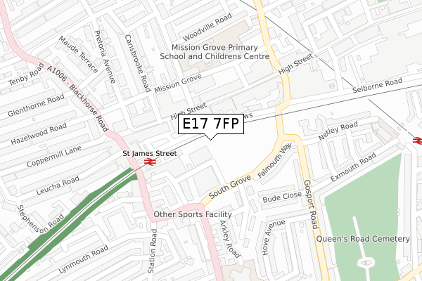
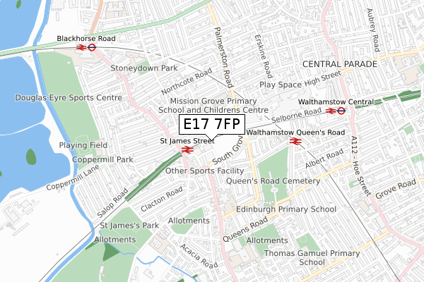
E17 7FP is located in the High Street electoral ward, within the London borough of Waltham Forest and the English Parliamentary constituency of Walthamstow. The Sub Integrated Care Board (ICB) Location is NHS North East London ICB - A3A8R and the police force is Metropolitan Police. This postcode has been in use since January 2019.


GetTheData
Source: OS Open Zoomstack (Ordnance Survey)
Licence: Open Government Licence (requires attribution)
Attribution: Contains OS data © Crown copyright and database right 2025
Source: Open Postcode Geo
Licence: Open Government Licence (requires attribution)
Attribution: Contains OS data © Crown copyright and database right 2025; Contains Royal Mail data © Royal Mail copyright and database right 2025; Source: Office for National Statistics licensed under the Open Government Licence v.3.0
| Easting | 536593 |
| Northing | 188792 |
| Latitude | 51.581445 |
| Longitude | -0.029985 |
GetTheData
Source: Open Postcode Geo
Licence: Open Government Licence
| Country | England |
| Postcode District | E17 |
➜ See where E17 is on a map ➜ Where is Walthamstow? | |
GetTheData
Source: Land Registry Price Paid Data
Licence: Open Government Licence
| Ward | High Street |
| Constituency | Walthamstow |
GetTheData
Source: ONS Postcode Database
Licence: Open Government Licence
| South Grove (E17) (South Grove) | Walthamstow | 100m |
| South Grove (E17) (South Grove) | Walthamstow | 108m |
| St James Street Station (Courtenay Mews) | Walthamstow | 139m |
| St James Street Station (Courtenay Mews) | Walthamstow | 167m |
| Carisbrooke Road (Mission Grove) | Walthamstow | 193m |
| Walthamstow Central Underground Station | Walthamstow Central | 722m |
| Blackhorse Road Underground Station | Blackhorse Road | 983m |
| St James Street (London) Station | 0.2km |
| Walthamstow Queens Road Station | 0.4km |
| Walthamstow Central Station | 0.7km |
GetTheData
Source: NaPTAN
Licence: Open Government Licence
GetTheData
Source: ONS Postcode Database
Licence: Open Government Licence


➜ Get more ratings from the Food Standards Agency
GetTheData
Source: Food Standards Agency
Licence: FSA terms & conditions
| Last Collection | |||
|---|---|---|---|
| Location | Mon-Fri | Sat | Distance |
| 48 High Street E17 | 18:30 | 12:00 | 103m |
| South Grove | 17:30 | 11:30 | 108m |
| St James Street | 18:30 | 11:30 | 213m |
GetTheData
Source: Dracos
Licence: Creative Commons Attribution-ShareAlike
The below table lists the International Territorial Level (ITL) codes (formerly Nomenclature of Territorial Units for Statistics (NUTS) codes) and Local Administrative Units (LAU) codes for E17 7FP:
| ITL 1 Code | Name |
|---|---|
| TLI | London |
| ITL 2 Code | Name |
| TLI5 | Outer London - East and North East |
| ITL 3 Code | Name |
| TLI53 | Redbridge and Waltham Forest |
| LAU 1 Code | Name |
| E09000031 | Waltham Forest |
GetTheData
Source: ONS Postcode Directory
Licence: Open Government Licence
The below table lists the Census Output Area (OA), Lower Layer Super Output Area (LSOA), and Middle Layer Super Output Area (MSOA) for E17 7FP:
| Code | Name | |
|---|---|---|
| OA | E00022356 | |
| LSOA | E01004444 | Waltham Forest 017D |
| MSOA | E02000911 | Waltham Forest 017 |
GetTheData
Source: ONS Postcode Directory
Licence: Open Government Licence
| E17 7LD | High Street | 99m |
| E17 7NW | Brunner Road | 131m |
| E17 7NZ | Falmouth Way | 142m |
| E17 7DB | High Street | 143m |
| E17 7LB | Willow Walk | 157m |
| E17 7AD | High Street | 163m |
| E17 7NY | Bude Close | 171m |
| E17 7PA | Arkley Crescent | 177m |
| E17 7PP | Courtenay Mews | 179m |
| E17 7BL | Railway Arches | 187m |
GetTheData
Source: Open Postcode Geo; Land Registry Price Paid Data
Licence: Open Government Licence